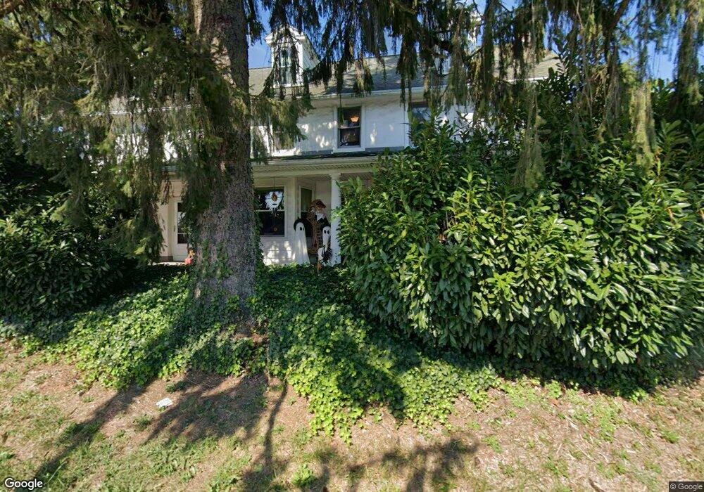
432 Lower Rd Souderton, PA 18964
Estimated Value: $420,000 - $702,868
6
Beds
3
Baths
3,564
Sq Ft
$152/Sq Ft
Est. Value
About This Home
This home is located at 432 Lower Rd, Souderton, PA 18964 and is currently estimated at $539,967, approximately $151 per square foot. 432 Lower Rd is a home located in Montgomery County with nearby schools including West Broad Street Elementary School, Indian Crest Middle School, and Souderton Area Senior High School.
Ownership History
Date
Name
Owned For
Owner Type
Purchase Details
Closed on
May 15, 2000
Sold by
Godshall Merrill W
Bought by
Royer Howard and Royer Cherie
Current Estimated Value
Purchase Details
Closed on
May 12, 2000
Sold by
Godshall Robert W
Bought by
Godshall Merrill W
Purchase Details
Closed on
Apr 24, 2000
Sold by
Godshall Robert W
Bought by
Godshall Robert W and Trust Agreement Of Bessie C Godshall
Purchase Details
Closed on
Feb 17, 1997
Sold by
Godshall Enos B and Godshall Bessie C
Bought by
Godshall Richard W and Godshall Bessie C
Create a Home Valuation Report for This Property
The Home Valuation Report is an in-depth analysis detailing your home's value as well as a comparison with similar homes in the area
Home Values in the Area
Average Home Value in this Area
Purchase History
| Date | Buyer | Sale Price | Title Company |
|---|---|---|---|
| Royer Howard | -- | -- | |
| Godshall Merrill W | -- | -- | |
| Godshall Robert W | -- | -- | |
| Godshall Richard W | -- | -- |
Source: Public Records
Tax History
| Year | Tax Paid | Tax Assessment Tax Assessment Total Assessment is a certain percentage of the fair market value that is determined by local assessors to be the total taxable value of land and additions on the property. | Land | Improvement |
|---|---|---|---|---|
| 2025 | $8,297 | $206,560 | $62,270 | $144,290 |
| 2024 | $8,297 | $206,560 | $62,270 | $144,290 |
| 2023 | $7,916 | $206,560 | $62,270 | $144,290 |
| 2022 | $7,674 | $206,560 | $62,270 | $144,290 |
| 2021 | $7,513 | $206,560 | $62,270 | $144,290 |
| 2020 | $7,411 | $206,560 | $62,270 | $144,290 |
| 2019 | $6,764 | $206,560 | $62,270 | $144,290 |
Source: Public Records
Map
Nearby Homes
- 171 Maidenhead Ct Unit 171
- 300 Westminster Ln
- 218 E Broad St
- 318 Parkview Dr
- 241 Diamond St
- 708 Finlay Dr
- 227 W Reliance Rd
- 306 Sherwood Ct N
- 327 Melbourne Way
- 478 Smokepipe Rd
- 76 Hillside Ave
- 54 Franklin Ave
- 54 W Chestnut St
- 52 Hillside Ave
- 456 Cowpath Rd
- 486 Cowpath Rd
- 635 Elroy Rd
- 216 W Cherry Ln Unit MAGNOLIA
- 216 W Cherry Ln Unit DEVONSHIRE
- 216 W Cherry Ln Unit ARCADIA
- 2 Lower Rd
- 3 Lower Rd
- 303 Godshall Rd
- 310 Godshall Rd
- 307 Godshall Rd
- 312 Godshall Rd
- 238 Cowpath Rd
- 238A Cowpath Rd
- 311 Godshall Rd
- 233 Godshall Rd
- 316 Godshall Rd
- 3121 Murphys Way
- 3127 Murphys Way
- 3106 Murphys Way
- 3157 Murphys Way
- 3100 Murphys Way
- 3112 Murphys Way
- 3139 Murphys Way
- 3118 Murphys Way
- 3163 Murphys Way
Your Personal Tour Guide
Ask me questions while you tour the home.