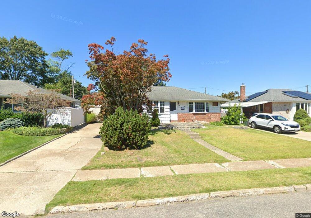
432 Mansfield Ave Levittown, NY 11756
Estimated Value: $625,000 - $643,376
--
Bed
1
Bath
1,036
Sq Ft
$612/Sq Ft
Est. Value
About This Home
This home is located at 432 Mansfield Ave, Levittown, NY 11756 and is currently estimated at $634,188, approximately $612 per square foot. 432 Mansfield Ave is a home located in Nassau County with nearby schools including Michael F. Stokes Elementary School, J Fred Sparke Elementary School, and Island Trees Middle School.
Ownership History
Date
Name
Owned For
Owner Type
Purchase Details
Closed on
Feb 5, 2018
Sold by
Abbott Gregory
Bought by
Abbott Gregory
Current Estimated Value
Create a Home Valuation Report for This Property
The Home Valuation Report is an in-depth analysis detailing your home's value as well as a comparison with similar homes in the area
Home Values in the Area
Average Home Value in this Area
Purchase History
| Date | Buyer | Sale Price | Title Company |
|---|---|---|---|
| Abbott Gregory | -- | -- |
Source: Public Records
Tax History Compared to Growth
Tax History
| Year | Tax Paid | Tax Assessment Tax Assessment Total Assessment is a certain percentage of the fair market value that is determined by local assessors to be the total taxable value of land and additions on the property. | Land | Improvement |
|---|---|---|---|---|
| 2025 | $10,154 | $437 | $231 | $206 |
| 2024 | $3,242 | $437 | $231 | $206 |
| 2023 | $10,605 | $437 | $231 | $206 |
| 2022 | $10,605 | $437 | $231 | $206 |
| 2021 | $15,024 | $416 | $220 | $196 |
| 2020 | $13,165 | $736 | $552 | $184 |
| 2019 | $2,395 | $736 | $552 | $184 |
| 2018 | $6,159 | $736 | $0 | $0 |
| 2017 | $5,343 | $736 | $552 | $184 |
| 2016 | $7,543 | $736 | $552 | $184 |
| 2015 | $1,998 | $736 | $552 | $184 |
| 2014 | $1,998 | $736 | $552 | $184 |
| 2013 | $1,744 | $736 | $552 | $184 |
Source: Public Records
Map
Nearby Homes
- 426 Mansfield Ave
- 438 Mansfield Ave
- 432 Coleridge St
- 438 Coleridge St
- 420 Mansfield Ave
- 426 Coleridge St
- 433 Mansfield Ave
- 442 Mansfield Ave
- 444 Coleridge St
- 427 Mansfield Ave
- 421 Mansfield Ave
- 448 Mansfield Ave
- 420 Coleridge St
- 410 Mansfield Ave
- 430 Whittier Ave
- 459 Mansfield Ave
- 452 Mansfield Ave
- 454 Coleridge St
- 411 Mansfield Ave
- 437 Coleridge St