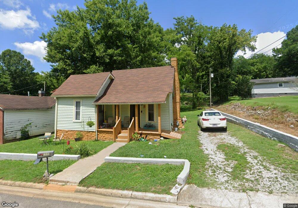
432 Mcgrew St Pulaski, TN 38478
Estimated Value: $97,000 - $145,000
Studio
2
Baths
1,158
Sq Ft
$100/Sq Ft
Est. Value
About This Home
This home is located at 432 Mcgrew St, Pulaski, TN 38478 and is currently estimated at $115,373, approximately $99 per square foot. 432 Mcgrew St is a home located in Giles County with nearby schools including Pulaski Elementary School, Southside Elementary School, and Bridgeforth Middle School.
Ownership History
Date
Name
Owned For
Owner Type
Purchase Details
Closed on
Jul 13, 2017
Sold by
Williams Carl Edward
Bought by
Franklin Hardin C and Franklin Fordie B
Current Estimated Value
Purchase Details
Closed on
Mar 7, 2014
Sold by
Williams Charlie R
Bought by
Williams Carl Edward and O Charlie R Willi C
Purchase Details
Closed on
Oct 20, 2010
Sold by
Wade Peggy L
Bought by
Williams Charlie R
Purchase Details
Closed on
Feb 16, 1989
Bought by
Howard Nathaniel
Purchase Details
Closed on
Oct 28, 1987
Bought by
Howard Nathaniel and Howard Ceola
Purchase Details
Closed on
Jan 1, 1969
Bought by
Huey Smith and Huey Joane
Create a Home Valuation Report for This Property
The Home Valuation Report is an in-depth analysis detailing your home's value as well as a comparison with similar homes in the area
Home Values in the Area
Average Home Value in this Area
Purchase History
| Date | Buyer | Sale Price | Title Company |
|---|---|---|---|
| Franklin Hardin C | $18,500 | None Available | |
| Williams Carl Edward | -- | -- | |
| Williams Charlie R | $8,000 | -- | |
| Howard Nathaniel | -- | -- | |
| Howard Nathaniel | $10,000 | -- | |
| Huey Smith | -- | -- |
Source: Public Records
Tax History
| Year | Tax Paid | Tax Assessment Tax Assessment Total Assessment is a certain percentage of the fair market value that is determined by local assessors to be the total taxable value of land and additions on the property. | Land | Improvement |
|---|---|---|---|---|
| 2025 | $413 | $15,125 | $1,625 | $13,500 |
| 2024 | $364 | $15,125 | $1,625 | $13,500 |
| 2023 | $364 | $15,125 | $1,625 | $13,500 |
| 2022 | $364 | $15,125 | $1,625 | $13,500 |
| 2021 | $157 | $4,625 | $875 | $3,750 |
| 2020 | $157 | $4,625 | $875 | $3,750 |
| 2019 | $131 | $4,625 | $875 | $3,750 |
| 2018 | $157 | $4,625 | $875 | $3,750 |
| 2017 | $293 | $11,600 | $875 | $10,725 |
| 2016 | $304 | $8,575 | $875 | $7,700 |
| 2015 | $287 | $8,575 | $875 | $7,700 |
| 2014 | $286 | $8,564 | $0 | $0 |
Source: Public Records
Map
Nearby Homes
- 0 Sumpter St
- 308 W Woodring St
- 350 N 3rd St
- 613 Mcgrew St
- 339 W Washington St
- 300 Morris St
- 318 W Jefferson St
- 420 Fort Hill Dr
- 402 Fort Hill Dr
- 226 Rose St
- 808 N 1st St
- 418 Jones St
- 320 Park St
- 122 Fiddlers Ct
- 958 Dollar Hollow Rd
- 0 N 3rd St
- 1035 N 3rd St
- 311 S 1st St
- 630 Marietta St
- 525 E Washington St
Your Personal Tour Guide
Ask me questions while you tour the home.