Estimated Value: $200,000 - $243,000
3
Beds
1
Bath
960
Sq Ft
$227/Sq Ft
Est. Value
About This Home
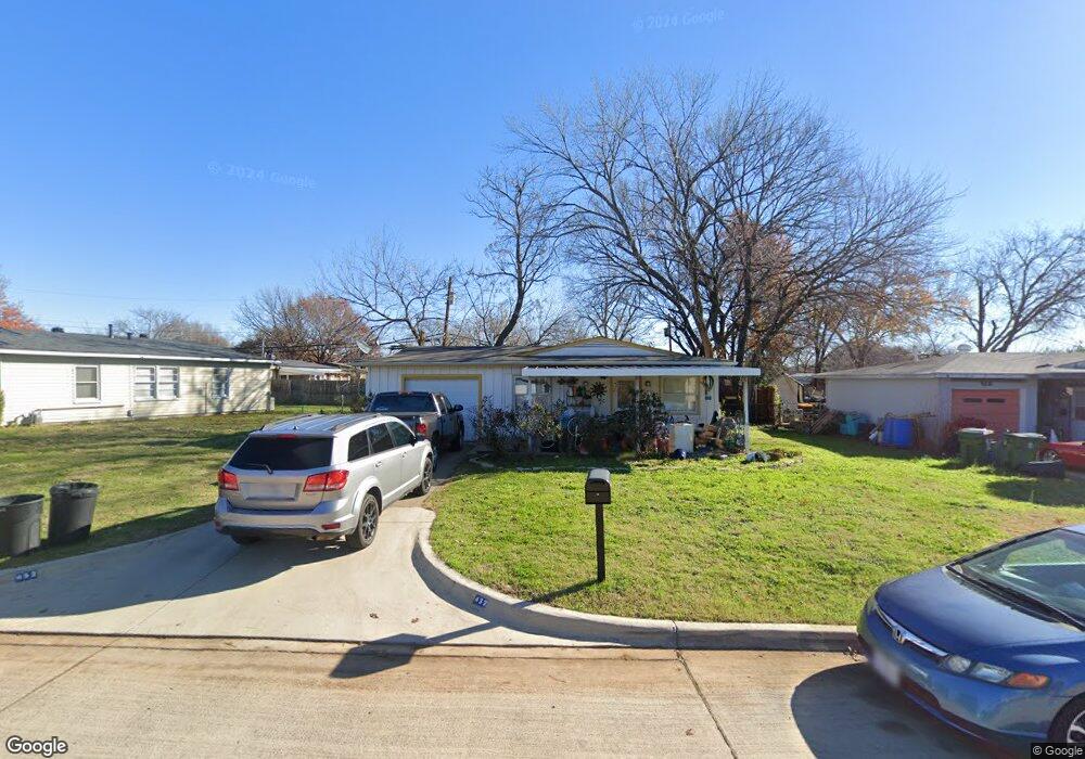
This home is located at 432 Michael Blvd, Hurst, TX 76053 and is currently estimated at $218,084, approximately $227 per square foot. 432 Michael Blvd is a home located in Tarrant County with nearby schools including Bellaire Elementary School, Hurst J High School, and L.D. Bell High School.
Ownership History
Date
Name
Owned For
Owner Type
Purchase Details
Closed on
Mar 1, 2019
Sold by
Ramos Mary Ann and Speer Jerald T
Bought by
Alloggio Ashley
Current Estimated Value
Purchase Details
Closed on
Nov 2, 2017
Sold by
Speer Jerald T
Bought by
Alloggio Ashley C
Purchase Details
Closed on
Jun 15, 1995
Sold by
Bailey Linda L Lotspeich
Bought by
Speer Jerald T
Home Financials for this Owner
Home Financials are based on the most recent Mortgage that was taken out on this home.
Original Mortgage
$41,871
Interest Rate
8.17%
Mortgage Type
FHA
Create a Home Valuation Report for This Property
The Home Valuation Report is an in-depth analysis detailing your home's value as well as a comparison with similar homes in the area
Home Values in the Area
Average Home Value in this Area
Purchase History
We collect this data history from publicly available records. To have your information removed, we recommend requesting removal directly through your county’s website.
| Date | Buyer | Sale Price | Title Company |
|---|---|---|---|
| Alloggio Ashley | -- | None Available | |
| Alloggio Ashley C | -- | None Available | |
| Speer Jerald T | -- | American Title Company |
Source: Public Records
Mortgage History
We collect this data history from publicly available records. To have your information removed, we recommend requesting removal directly through your county’s website.
| Date | Status | Borrower | Loan Amount |
|---|---|---|---|
| Previous Owner | Speer Jerald T | $41,871 |
Source: Public Records
Tax History
| Year | Tax Paid | Tax Assessment Tax Assessment Total Assessment is a certain percentage of the fair market value that is determined by local assessors to be the total taxable value of land and additions on the property. | Land | Improvement |
|---|---|---|---|---|
| 2025 | $2,614 | $127,971 | $50,000 | $77,971 |
| 2024 | $2,614 | $127,971 | $50,000 | $77,971 |
| 2023 | $2,226 | $111,104 | $35,000 | $76,104 |
| 2022 | $2,559 | $111,121 | $35,000 | $76,121 |
| 2021 | $2,621 | $108,673 | $35,000 | $73,673 |
| 2020 | $2,996 | $124,547 | $35,000 | $89,547 |
| 2019 | $893 | $36,476 | $35,476 | $1,000 |
| 2018 | $2,495 | $101,923 | $15,000 | $86,923 |
| 2017 | $2,282 | $90,191 | $15,000 | $75,191 |
| 2016 | $2,026 | $80,072 | $15,000 | $65,072 |
| 2015 | $1,497 | $57,100 | $15,000 | $42,100 |
| 2014 | $1,497 | $57,100 | $15,000 | $42,100 |
Source: Public Records
Map
Nearby Homes
- 307 Terry Rd
- 733 Bluebonnet Dr
- 609 E Ellen Ave
- 212 E Ellen Ave
- 756 E Pecan St
- 412 Fleming Dr
- 260 Corinna Ct
- 625 Caduceus Ln
- 632 Caduceus Ct
- 1200 Woodridge Cir
- 1200 Tanglewood Trail
- 931 Park Forest Dr
- 841 Forest Hollow Dr
- 716 Norwood Dr
- 727 Norwood Dr
- 905 Forest Hollow Dr
- 629 Harrison Ln
- 802 Brown Trail
- 552 Souder Dr
- 808 Lee Dr
- 428 Michael Blvd
- 436 Michael Blvd
- 504 Brookfield Dr
- 503 Bluebonnet Dr
- 508 Brookfield Dr
- 424 Michael Blvd
- 507 Bluebonnet Dr
- 433 Michael Blvd
- 512 Brookfield Dr
- 429 Michael Blvd
- 437 Michael Blvd
- 511 Bluebonnet Dr
- 441 Michael Blvd
- 425 Michael Blvd
- 448 Michael Blvd
- 600 Brookfield Dr
- 601 Bluebonnet Dr
- 445 Michael Blvd
- 503 Brookfield Dr
- 416 Michael Blvd
Your Personal Tour Guide
Ask me questions while you tour the home.