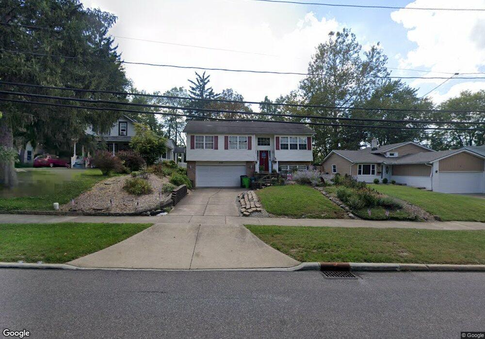
432 Union St Bedford, OH 44146
Estimated Value: $174,000 - $207,000
3
Beds
3
Baths
1,068
Sq Ft
$179/Sq Ft
Est. Value
About This Home
This home is located at 432 Union St, Bedford, OH 44146 and is currently estimated at $191,512, approximately $179 per square foot. 432 Union St is a home located in Cuyahoga County with nearby schools including Heskett Middle School, Bedford High School, and Ohio College Preparatory School.
Ownership History
Date
Name
Owned For
Owner Type
Purchase Details
Closed on
May 26, 2000
Sold by
Nicol Andrew J
Bought by
Karabowicz Patricia
Current Estimated Value
Home Financials for this Owner
Home Financials are based on the most recent Mortgage that was taken out on this home.
Original Mortgage
$152,841
Outstanding Balance
$53,537
Interest Rate
8.13%
Mortgage Type
FHA
Estimated Equity
$137,975
Purchase Details
Closed on
Mar 12, 1999
Sold by
Sablotny Alice May and Sablotny Alice
Bought by
Nicol Andrew J
Purchase Details
Closed on
Oct 16, 1991
Sold by
Sablotny Laurence and Sablotny A
Bought by
Sablotny Alice May
Purchase Details
Closed on
Jan 1, 1979
Bought by
Sablotny Laurence and Sablotny A
Create a Home Valuation Report for This Property
The Home Valuation Report is an in-depth analysis detailing your home's value as well as a comparison with similar homes in the area
Home Values in the Area
Average Home Value in this Area
Purchase History
| Date | Buyer | Sale Price | Title Company |
|---|---|---|---|
| Karabowicz Patricia | $154,000 | -- | |
| Nicol Andrew J | $13,500 | Executive Title Agency Corp | |
| Sablotny Alice May | -- | -- | |
| Sablotny Laurence | -- | -- |
Source: Public Records
Mortgage History
| Date | Status | Borrower | Loan Amount |
|---|---|---|---|
| Open | Karabowicz Patricia | $152,841 |
Source: Public Records
Tax History Compared to Growth
Tax History
| Year | Tax Paid | Tax Assessment Tax Assessment Total Assessment is a certain percentage of the fair market value that is determined by local assessors to be the total taxable value of land and additions on the property. | Land | Improvement |
|---|---|---|---|---|
| 2024 | $4,647 | $61,250 | $9,065 | $52,185 |
| 2023 | $4,031 | $45,610 | $8,190 | $37,420 |
| 2022 | $3,661 | $47,010 | $8,190 | $38,820 |
| 2021 | $3,570 | $47,010 | $8,190 | $38,820 |
| 2020 | $3,352 | $39,520 | $6,900 | $32,620 |
| 2019 | $3,264 | $112,900 | $19,700 | $93,200 |
| 2018 | $3,202 | $39,520 | $6,900 | $32,620 |
| 2017 | $3,194 | $36,720 | $6,300 | $30,420 |
| 2016 | $3,166 | $36,720 | $6,300 | $30,420 |
| 2015 | $3,239 | $36,720 | $6,300 | $30,420 |
| 2014 | $3,239 | $39,900 | $6,860 | $33,040 |
Source: Public Records
Map
Nearby Homes
- 33 William St
- 43 Forbes Rd
- 209 Dalepark Dr Unit 7
- 209 Dalepark Dr
- 200 Dalepark Dr Unit 3
- 80 Egbert Rd
- 194 Dalepark Dr Unit 5
- 7262 Free Ave
- 7263 Free Ave
- 70 Union St
- 7222 Grove Ave
- 7228 Grove Ave
- 7349 Wright Ave
- 6569 Pau Ct
- 140 Cowles Ave
- 6538 Pau Ct
- 6604 Basswood Dr
- 167 Willis St
- 6254 Randolph Rd
- 772 Broadway Ave