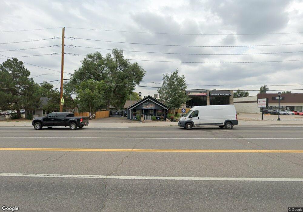
4320 Kipling St Unit 2 Wheat Ridge, CO 80033
Kipling NeighborhoodEstimated Value: $469,228 - $820,000
--
Bed
1
Bath
2,192
Sq Ft
$314/Sq Ft
Est. Value
About This Home
This home is located at 4320 Kipling St Unit 2, Wheat Ridge, CO 80033 and is currently estimated at $688,409, approximately $314 per square foot. 4320 Kipling St Unit 2 is a home located in Jefferson County with nearby schools including Peak Expeditionary - Pennington, Everitt Middle School, and Wheat Ridge High School.
Ownership History
Date
Name
Owned For
Owner Type
Purchase Details
Closed on
Jul 8, 2014
Sold by
Iacovetta Anthony P and Iacovetta Carol A
Bought by
City Of Wheat Ridge
Current Estimated Value
Purchase Details
Closed on
Dec 17, 2004
Sold by
E J Plumbing Co Inc
Bought by
Iacovetta Anthony P and Iacovetta Carol A
Create a Home Valuation Report for This Property
The Home Valuation Report is an in-depth analysis detailing your home's value as well as a comparison with similar homes in the area
Home Values in the Area
Average Home Value in this Area
Purchase History
| Date | Buyer | Sale Price | Title Company |
|---|---|---|---|
| City Of Wheat Ridge | $4,248 | None Available | |
| Iacovetta Anthony P | -- | -- |
Source: Public Records
Tax History Compared to Growth
Tax History
| Year | Tax Paid | Tax Assessment Tax Assessment Total Assessment is a certain percentage of the fair market value that is determined by local assessors to be the total taxable value of land and additions on the property. | Land | Improvement |
|---|---|---|---|---|
| 2024 | $2,106 | $22,719 | $12,720 | $9,999 |
| 2023 | $2,106 | $22,719 | $12,720 | $9,999 |
| 2022 | $2,856 | $30,655 | $13,711 | $16,944 |
| 2021 | $2,853 | $31,057 | $13,859 | $17,198 |
| 2020 | $2,907 | $31,705 | $13,859 | $17,846 |
| 2019 | $2,867 | $31,705 | $13,859 | $17,846 |
| 2018 | $2,681 | $28,820 | $12,508 | $16,312 |
| 2017 | $2,442 | $28,820 | $12,508 | $16,312 |
| 2016 | $2,022 | $22,349 | $8,916 | $13,433 |
| 2015 | $2,013 | $22,349 | $8,916 | $13,433 |
Source: Public Records
Map
Nearby Homes
- 10095 W 41st Ave
- 10251 W 44th Ave Unit 6-106
- 9870 W 41st Ave
- 4643 Independence St Unit 9
- 4201 Garland St
- 3880 Independence Ct
- 10187 W 38th Ave
- 10151 W 38th Ave
- 9800 W 38th Ave
- 4737 Flower St Unit 4737
- 4658 Flower St Unit 4658
- 3746 Miller Ct
- 3720 Miller St
- 3730 Miller Ct
- 3738 Miller Ct
- 3732 Miller Ct
- 8976 W 46th Place Unit 8976
- 9380 W 49th Ave Unit 101
- 4563 Everett St
- 3775 Garland St
- 4320 Kipling St
- 4388 Kipling St
- 9990 W 44th Ave
- 9918 & 9920 W 44th Ave
- 4305 Jellison St
- 9920 W 44th Ave
- 9918 W 44th Ave
- 4329 Jellison St
- 9910 W 44th Ave
- 9914 W 44th Ave
- 9910 W 44th Ave
- 4313 Jellison St
- 9900 W 44th Ave Unit A
- 4301 Jellison St
- 4291 Jellison St
- 4330 Jellison St
- 4281 Jellison St
- 4360 Jellison St
- 9890 W 44th Ave
- 4271 Jellison St
