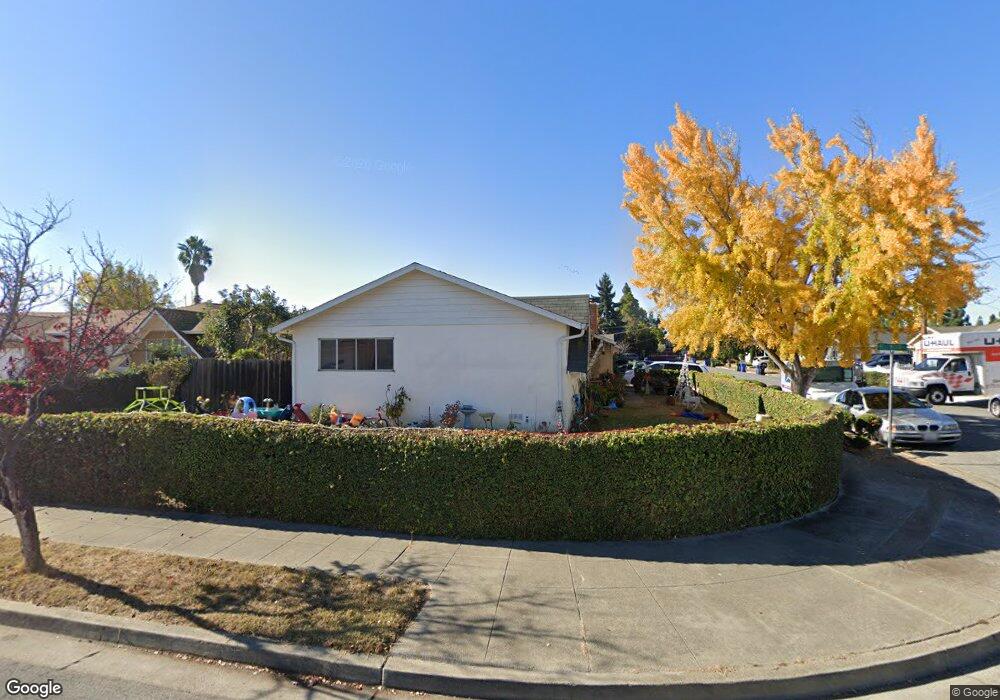
4320 Michael Ave Fremont, CA 94538
Grimmer NeighborhoodEstimated Value: $1,428,967 - $1,771,000
3
Beds
2
Baths
1,215
Sq Ft
$1,333/Sq Ft
Est. Value
About This Home
This home is located at 4320 Michael Ave, Fremont, CA 94538 and is currently estimated at $1,618,992, approximately $1,332 per square foot. 4320 Michael Ave is a home located in Alameda County with nearby schools including Harvey Green Elementary School, John M. Horner Junior High School, and Irvington High School.
Ownership History
Date
Name
Owned For
Owner Type
Purchase Details
Closed on
Jun 29, 1994
Sold by
Bammel Michael P
Bought by
Longoria Adolfo and Longoria Blanca O
Current Estimated Value
Home Financials for this Owner
Home Financials are based on the most recent Mortgage that was taken out on this home.
Original Mortgage
$157,250
Interest Rate
8.53%
Create a Home Valuation Report for This Property
The Home Valuation Report is an in-depth analysis detailing your home's value as well as a comparison with similar homes in the area
Home Values in the Area
Average Home Value in this Area
Purchase History
| Date | Buyer | Sale Price | Title Company |
|---|---|---|---|
| Longoria Adolfo | $185,000 | Placer Title Company |
Source: Public Records
Mortgage History
| Date | Status | Borrower | Loan Amount |
|---|---|---|---|
| Closed | Longoria Adolfo | $157,250 |
Source: Public Records
Tax History
| Year | Tax Paid | Tax Assessment Tax Assessment Total Assessment is a certain percentage of the fair market value that is determined by local assessors to be the total taxable value of land and additions on the property. | Land | Improvement |
|---|---|---|---|---|
| 2025 | $4,198 | $303,727 | $93,218 | $217,509 |
| 2024 | $4,198 | $297,635 | $91,390 | $213,245 |
| 2023 | $4,071 | $298,663 | $89,599 | $209,064 |
| 2022 | $3,997 | $285,808 | $87,842 | $204,966 |
| 2021 | $3,903 | $280,067 | $86,120 | $200,947 |
| 2020 | $3,846 | $284,124 | $85,237 | $198,887 |
| 2019 | $3,805 | $278,554 | $83,566 | $194,988 |
| 2018 | $3,727 | $273,092 | $81,927 | $191,165 |
| 2017 | $3,634 | $267,738 | $80,321 | $187,417 |
| 2016 | $3,561 | $262,490 | $78,747 | $183,743 |
| 2015 | $3,503 | $258,548 | $77,564 | $180,984 |
| 2014 | $3,434 | $253,484 | $76,045 | $177,439 |
Source: Public Records
Map
Nearby Homes
- 4309 Bora Ave
- 42525 Fern Cir
- 42663 Hamilton Way
- 4422 Hardwood St
- 43252 Lindenwood St
- 4685 Victoria Park Ct
- 42552 Roberts Ave
- 4759 Valpey Park Ave
- 4533 Capewood Terrace
- 4537 Capewood Terrace
- 43104 Grimmer Terrace
- 43141 Continental Dr
- 42817 Fontainebleau Park Ln
- 3950 Paul Terrace Unit 5
- 3864 Jamestown Rd
- 257 Manitoba Green
- 41287 Mahoney St
- 312 Winnipeg Green
- 88 Delta Green
- 3614 Kay Ct
- 42675 Bellwood Ct
- 4356 Michael Ave
- 42662 Brantwood Ct
- 4321 Michael Ave
- 4309 Michael Ave
- 42697 Bellwood Ct
- 4333 Michael Ave
- 4266 Michael Ave
- 4267 Michael Ave
- 4345 Michael Ave
- 42676 Bellwood Ct
- 42684 Brantwood Ct
- 42698 Bellwood Ct
- 4255 Michael Ave
- 4357 Michael Ave
- 4284 Bora Bora Ave
- 4298 Bora Bora Ave
- 4266 Bora Bora Ave
- 4308 Bora Bora Ave
- 4266 Bora Bora Ave
Your Personal Tour Guide
Ask me questions while you tour the home.