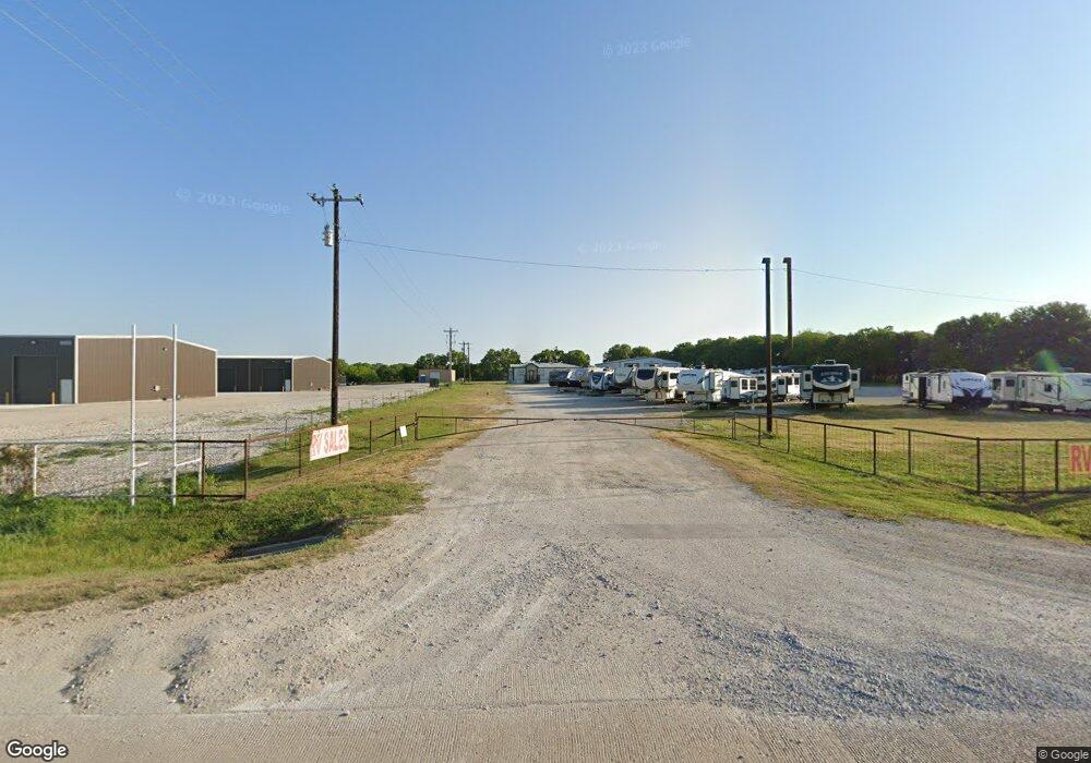
4320 Us Highway 380 Decatur, TX 76234
Estimated Value: $507,876
--
Bed
--
Bath
1,487
Sq Ft
$342/Sq Ft
Est. Value
About This Home
This home is located at 4320 Us Highway 380, Decatur, TX 76234 and is currently estimated at $507,876, approximately $341 per square foot. 4320 Us Highway 380 is a home located in Wise County with nearby schools including Decatur High School.
Ownership History
Date
Name
Owned For
Owner Type
Purchase Details
Closed on
Nov 7, 2024
Sold by
Xiphos Investment Group Ltd
Bought by
Ahsu Llc
Current Estimated Value
Purchase Details
Closed on
Dec 20, 2018
Sold by
Rndm Family Investments Ltd
Bought by
Xiphos Investment Group Ltd
Home Financials for this Owner
Home Financials are based on the most recent Mortgage that was taken out on this home.
Original Mortgage
$260,000
Interest Rate
4.9%
Mortgage Type
Commercial
Purchase Details
Closed on
Sep 15, 2011
Sold by
Hooten Chad and Hooten Brandie
Bought by
Rndm Family Investments
Purchase Details
Closed on
Aug 1, 2006
Sold by
Parker John and Parker Linda J
Bought by
Federal Home Loan Mortgage Corporation
Create a Home Valuation Report for This Property
The Home Valuation Report is an in-depth analysis detailing your home's value as well as a comparison with similar homes in the area
Home Values in the Area
Average Home Value in this Area
Purchase History
| Date | Buyer | Sale Price | Title Company |
|---|---|---|---|
| Ahsu Llc | -- | None Listed On Document | |
| Ahsu Llc | -- | None Listed On Document | |
| Xiphos Investment Group Ltd | -- | Alamo Title Company | |
| Rndm Family Investments | -- | -- | |
| Federal Home Loan Mortgage Corporation | $59,000 | None Available |
Source: Public Records
Mortgage History
| Date | Status | Borrower | Loan Amount |
|---|---|---|---|
| Previous Owner | Xiphos Investment Group Ltd | $260,000 |
Source: Public Records
Tax History Compared to Growth
Tax History
| Year | Tax Paid | Tax Assessment Tax Assessment Total Assessment is a certain percentage of the fair market value that is determined by local assessors to be the total taxable value of land and additions on the property. | Land | Improvement |
|---|---|---|---|---|
| 2025 | $7,907 | $754,138 | $405,066 | $349,072 |
| 2024 | $7,907 | $649,207 | $302,841 | $346,366 |
| 2023 | $7,843 | $649,207 | $302,841 | $346,366 |
| 2022 | $6,445 | $419,985 | $145,001 | $274,984 |
| 2021 | $5,573 | $347,617 | $150,320 | $197,297 |
| 2020 | $5,608 | $347,617 | $150,320 | $197,297 |
| 2019 | $5,757 | $335,000 | $150,320 | $184,680 |
| 2018 | $5,295 | $298,300 | $93,950 | $204,350 |
| 2017 | $4,893 | $275,630 | $93,950 | $181,680 |
| 2016 | $4,976 | $280,310 | $93,950 | $186,360 |
| 2015 | -- | $282,320 | $93,950 | $188,370 |
| 2014 | -- | $264,160 | $93,950 | $170,210 |
Source: Public Records
Map
Nearby Homes
- 258 W Ridge St
- 286 W Ridge St
- 263 Eastridge Rd
- 159 Rio Rancho Dr
- 189 Rio Rancho Dr
- 910 County Road 1111
- 209 Rio Rancho Dr
- 206 Rio Rancho Dr
- 131 San Miguel Dr
- 112 La Paloma Way
- 0 Hlavek Rd
- 141 Mission Oak Trail
- 516 Wild Wood Dr
- 1674 Cuba Rd
- 996 Hlavek Rd
- 2012 Cuba Rd
- 293 County Road 1111
- 0000 Hlavek Rd
- 1802 Hlavek Rd
- 5376 Us Highway 380
- 4274 U S 380
- 4332 Us Highway 380
- 4332 Us Highway 380
- 4274 Us Highway 380
- 4348 Us Highway 380
- 4081 U S 380 Unit U
- 4081 U S 380
- 4338 Us Highway 380
- 4338 U S 380
- 4334 U S Hwy 380
- 4312 Us Highway 380
- 1965 County Road 1111
- 4171 Us Highway 380
- 4112 US Highway 380
- 2011 County Road 1111
- 2011 County Road 1111
- 1021 Honeybear Ln
- 678 County Road 1110
- 678 County Road 1110
- 1961 County Road 1111