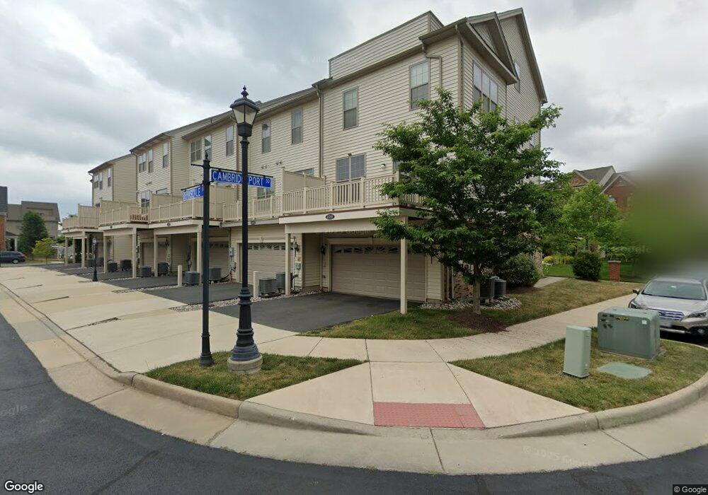
43203 Depascale Square Ashburn, VA 20148
Moorefield Station NeighborhoodEstimated Value: $679,000 - $727,000
4
Beds
3
Baths
1,960
Sq Ft
$357/Sq Ft
Est. Value
About This Home
This home is located at 43203 Depascale Square, Ashburn, VA 20148 and is currently estimated at $699,560, approximately $356 per square foot. 43203 Depascale Square is a home located in Loudoun County with nearby schools including Moorefield Station Elementary School and Rock Ridge High School.
Ownership History
Date
Name
Owned For
Owner Type
Purchase Details
Closed on
Feb 25, 2015
Sold by
Fairfax Investment Lp
Bought by
Powell Kristin L
Current Estimated Value
Home Financials for this Owner
Home Financials are based on the most recent Mortgage that was taken out on this home.
Original Mortgage
$376,535
Outstanding Balance
$288,281
Interest Rate
3.67%
Mortgage Type
New Conventional
Estimated Equity
$411,279
Create a Home Valuation Report for This Property
The Home Valuation Report is an in-depth analysis detailing your home's value as well as a comparison with similar homes in the area
Home Values in the Area
Average Home Value in this Area
Purchase History
| Date | Buyer | Sale Price | Title Company |
|---|---|---|---|
| Powell Kristin L | $418,373 | -- |
Source: Public Records
Mortgage History
| Date | Status | Borrower | Loan Amount |
|---|---|---|---|
| Open | Powell Kristin L | $376,535 |
Source: Public Records
Tax History Compared to Growth
Tax History
| Year | Tax Paid | Tax Assessment Tax Assessment Total Assessment is a certain percentage of the fair market value that is determined by local assessors to be the total taxable value of land and additions on the property. | Land | Improvement |
|---|---|---|---|---|
| 2025 | $6,736 | $670,220 | $220,000 | $450,220 |
| 2024 | $6,676 | $626,900 | $200,000 | $426,900 |
| 2023 | $5,136 | $586,950 | $185,000 | $401,950 |
| 2022 | $5,106 | $573,740 | $185,000 | $388,740 |
| 2021 | $4,980 | $508,190 | $150,000 | $358,190 |
| 2020 | $4,806 | $464,300 | $150,000 | $314,300 |
| 2019 | $4,703 | $450,070 | $150,000 | $300,070 |
| 2018 | $4,557 | $420,020 | $125,000 | $295,020 |
| 2017 | $4,697 | $417,550 | $125,000 | $292,550 |
| 2016 | $4,607 | $402,370 | $0 | $0 |
| 2015 | $4,693 | $288,470 | $0 | $288,470 |
| 2014 | $1,328 | $0 | $0 | $0 |
Source: Public Records
Map
Nearby Homes
- 22613 Naugatuck Square
- 43157 Clarendon Square
- 43361 Radford Divide Terrace
- 43116 Unison Knoll Cir
- 43360 Southland St
- 22477 Foundation Dr
- 22528 Wilson View Terrace
- 22275 Sims Terrace
- 43400 Apple Orchard Square
- 42983 Pascale Terrace
- 22317 Seabring Terrace
- 42831 Falling Leaf Ct
- 22381 Roanoke Rise Terrace
- 22361 Roanoke Rise Terrace
- 43466 Grandmoore St
- 23052 Sunbury St
- 22260 Cornerstone Crossing Terrace
- 42904 Bittner Square
- 23069 Weybridge Square
- 22273 Rampsbeck Terrace
- 43205 Depascale Square
- 43201 Depascale Square
- 43207 Depascale Square
- 43209 Depascale Square
- 24201 Depascale Square
- 22592 Cambridgeport Square
- 43211 Depascale Square
- 22590 Cambridgeport Square
- 43213 Depascale Square
- 22588 Cambridgeport Square
- 22601 Cambridgeport Square
- 0 Cambridgeport Square Unit 22586 1001732803
- 0 Cambridgeport Square Unit 1000701125
- 0 Cambridgeport Square Unit 1000713913
- 22603 Cambridgeport Square
- 22599 Cambridgeport Square
- 22575 Willington Square
- 22595 Cambridgeport Square
- 22573 Willington Square
- 22586 Cambridgeport Square