43204 Benson Park Rd Shawnee, OK 74801
Estimated Value: $335,000 - $652,000
5
Beds
2
Baths
2,652
Sq Ft
$183/Sq Ft
Est. Value
About This Home
This home is located at 43204 Benson Park Rd, Shawnee, OK 74801 and is currently estimated at $485,841, approximately $183 per square foot. 43204 Benson Park Rd is a home located in Pottawatomie County with nearby schools including South Rock Creek Public School.
Ownership History
Date
Name
Owned For
Owner Type
Purchase Details
Closed on
Jul 2, 2015
Sold by
Tully Mark K and The Colleen P Tully Revocable
Bought by
Carpenter Colby and Carpenter Emily
Current Estimated Value
Home Financials for this Owner
Home Financials are based on the most recent Mortgage that was taken out on this home.
Original Mortgage
$391,500
Interest Rate
3.9%
Mortgage Type
Construction
Purchase Details
Closed on
Mar 4, 1992
Sold by
Tully Clarence
Bought by
Tully Colleen
Create a Home Valuation Report for This Property
The Home Valuation Report is an in-depth analysis detailing your home's value as well as a comparison with similar homes in the area
Home Values in the Area
Average Home Value in this Area
Purchase History
| Date | Buyer | Sale Price | Title Company |
|---|---|---|---|
| Carpenter Colby | $300,000 | First American Title | |
| Tully Colleen | -- | -- |
Source: Public Records
Mortgage History
| Date | Status | Borrower | Loan Amount |
|---|---|---|---|
| Closed | Carpenter Colby | $391,500 |
Source: Public Records
Tax History Compared to Growth
Tax History
| Year | Tax Paid | Tax Assessment Tax Assessment Total Assessment is a certain percentage of the fair market value that is determined by local assessors to be the total taxable value of land and additions on the property. | Land | Improvement |
|---|---|---|---|---|
| 2025 | $2,077 | $28,158 | $3,084 | $25,074 |
| 2024 | $2,360 | $27,338 | $2,994 | $24,344 |
| 2023 | $2,360 | $26,543 | $2,862 | $23,681 |
| 2022 | $2,263 | $25,729 | $2,262 | $23,467 |
| 2021 | $1,950 | $25,729 | $2,262 | $23,467 |
| 2020 | $2,413 | $25,730 | $2,262 | $23,468 |
| 2019 | $2,475 | $26,326 | $2,262 | $24,064 |
| 2018 | $2,579 | $26,783 | $2,262 | $24,521 |
| 2017 | $2,544 | $26,583 | $2,262 | $24,321 |
| 2016 | $2,390 | $26,583 | $2,262 | $24,321 |
| 2015 | $902 | $10,403 | $716 | $9,687 |
| 2014 | $873 | $10,100 | $1,105 | $8,995 |
Source: Public Records
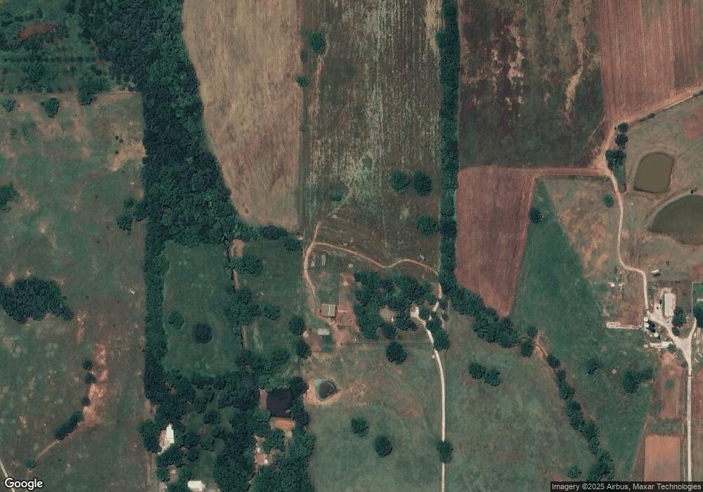
Map
Nearby Homes
- 00 Benson Park Rd
- 00 Charleston Pointe
- 18509 Brangus Rd
- 42601 Stout Dr
- 19708 Persimmon Ln
- 42608 Bob Crouch Rd
- 19705 Harrison Rd
- 44303 Hardesty Rd
- 00 Hardesty Rd 15 Acres
- 44508 Kingsbury Ln
- 44630 Kingsbury
- 00 S Rock Creek Rd
- 19903 Prairieview Rd
- 17701 S Rock Creek Rd
- 1600 E Farrall
- 000 Gordon Cooper Dr
- 00 Allyson Ln
- 43252 Highway 9
- 45210 Hardesty Rd
- 45201 Hardesty Rd
- 43406 Benson Park Rd
- 43006 Benson Park Rd
- 43008 Benson Park Rd
- 43305 Benson Park Rd
- 43203 Benson Park Rd
- 43207 Benson Park Rd
- 43207 Benson Park Rd
- 19030 Hunters Hill Rd
- 19084 Hunters Hill Rd
- 19010 Hunters Hill Rd
- 43842 Hunters Hill Dr
- 19060 Hunters Hill Rd
- 43823 Hunters Hill Dr
- 43891 Hunters Hill Dr
- 43855 Hunters Hill Dr
- 43823 Hunters Hill Dr
- 43855 Hunters Hill Dr
- 43309 Benson Park Rd
- 43107 Benson Park Rd
- 43502 Benson Park Rd