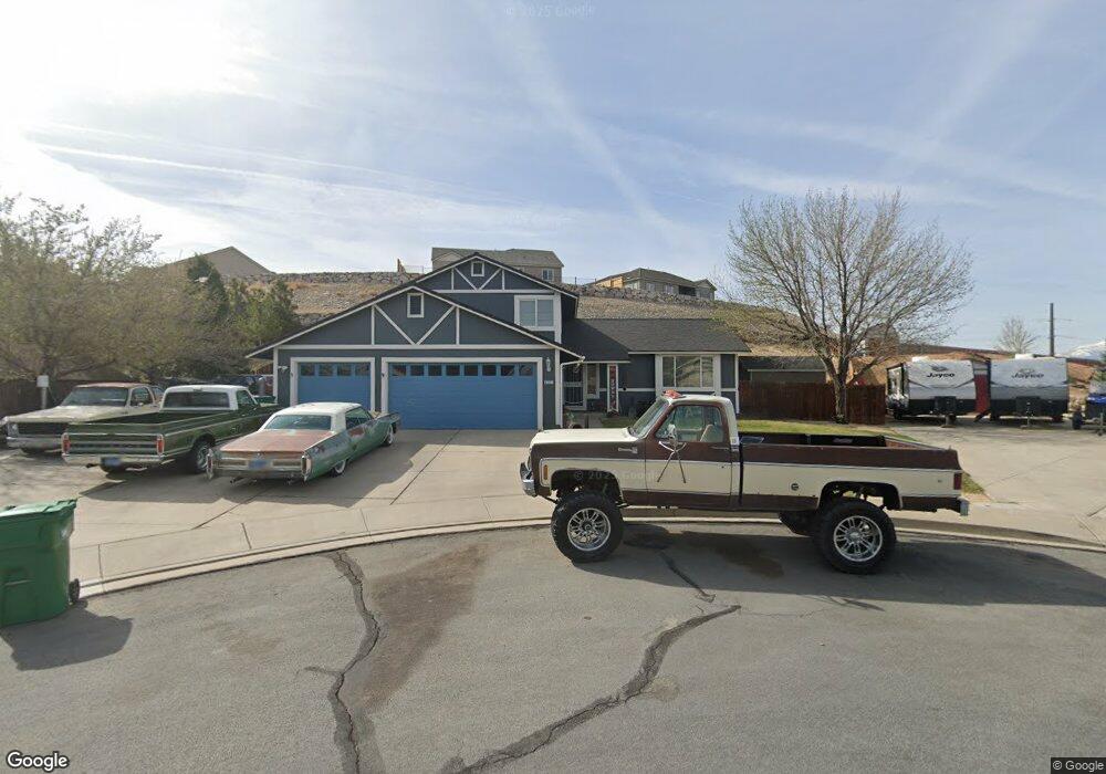
4321 Banyan Ct Sparks, NV 89436
Los Altos Parkway NeighborhoodEstimated Value: $592,000 - $672,125
4
Beds
3
Baths
2,138
Sq Ft
$294/Sq Ft
Est. Value
About This Home
This home is located at 4321 Banyan Ct, Sparks, NV 89436 and is currently estimated at $629,031, approximately $294 per square foot. 4321 Banyan Ct is a home located in Washoe County with nearby schools including Bud Beasley Elementary School, Lou Mendive Middle School, and Edward C Reed High School.
Ownership History
Date
Name
Owned For
Owner Type
Purchase Details
Closed on
Sep 30, 2011
Sold by
Enslen Robert W
Bought by
King Amy M and King William B
Current Estimated Value
Home Financials for this Owner
Home Financials are based on the most recent Mortgage that was taken out on this home.
Original Mortgage
$179,335
Outstanding Balance
$120,903
Interest Rate
4.09%
Mortgage Type
FHA
Estimated Equity
$508,128
Purchase Details
Closed on
Dec 30, 2009
Sold by
Enslen Robert W
Bought by
Enslen Robert W and Robert W Enslen Trust
Purchase Details
Closed on
Feb 6, 2002
Sold by
Cate Christopher S and Cate Linda J
Bought by
Enslen Robert W
Home Financials for this Owner
Home Financials are based on the most recent Mortgage that was taken out on this home.
Original Mortgage
$164,000
Interest Rate
7.15%
Create a Home Valuation Report for This Property
The Home Valuation Report is an in-depth analysis detailing your home's value as well as a comparison with similar homes in the area
Home Values in the Area
Average Home Value in this Area
Purchase History
| Date | Buyer | Sale Price | Title Company |
|---|---|---|---|
| King Amy M | $184,000 | Ticor Title Of Nevada Inc | |
| Enslen Robert W | -- | None Available | |
| Enslen Robert W | $205,000 | Western Title Inc |
Source: Public Records
Mortgage History
| Date | Status | Borrower | Loan Amount |
|---|---|---|---|
| Open | King Amy M | $179,335 | |
| Previous Owner | Enslen Robert W | $164,000 |
Source: Public Records
Tax History Compared to Growth
Tax History
| Year | Tax Paid | Tax Assessment Tax Assessment Total Assessment is a certain percentage of the fair market value that is determined by local assessors to be the total taxable value of land and additions on the property. | Land | Improvement |
|---|---|---|---|---|
| 2026 | $2,438 | $120,753 | $46,816 | $73,937 |
| 2025 | $2,858 | $122,533 | $46,816 | $75,717 |
| 2024 | $2,858 | $112,358 | $44,083 | $68,275 |
| 2023 | $2,776 | $107,409 | $42,581 | $64,828 |
| 2022 | $2,696 | $90,437 | $36,113 | $54,324 |
| 2021 | $2,618 | $80,614 | $26,219 | $54,395 |
| 2020 | $2,541 | $80,929 | $26,180 | $54,749 |
| 2019 | $2,469 | $79,917 | $26,796 | $53,121 |
| 2018 | $2,396 | $71,854 | $19,558 | $52,296 |
| 2017 | $2,328 | $70,742 | $18,095 | $52,647 |
| 2016 | $2,271 | $68,948 | $15,978 | $52,970 |
| 2015 | $2,267 | $67,237 | $14,168 | $53,069 |
| 2014 | $2,200 | $63,193 | $11,974 | $51,219 |
| 2013 | -- | $55,868 | $9,818 | $46,050 |
Source: Public Records
Map
Nearby Homes
- 4515 Whitney Cir
- Plan 4 at Eagle Peak
- Plan 5 at Eagle Peak
- Plan 2 at Eagle Peak
- Plan 1 at Eagle Peak
- Plan 3 at Eagle Peak
- 4434 Whitney Cir
- 3988 Ella Jayne Ct Unit Lot 6
- 1472 Giannotti Dr
- 1557 Satellite Dr
- 4748 Pradera St
- 1031 Vintage Hills Pkwy
- 3602 Oakridge Dr
- 4796 Pradera St
- 4393 Acobat Ct
- 4730 Tabuka Ln
- 1215 Ebling Dr
- 1550 Istrice Rd
- 510 S Sand Crane Cir
- 4995 Wine Cellar Dr
- 4319 Banyan Ct
- 4323 Banyan Ct
- 4315 Banyan Ct
- 4325 Roundstone Dr
- 4307 Banyan Ct
- 4311 Banyan Ct
- 4303 Banyan Ct
- 1345 Silver View Cir
- 4331 Roundstone Dr
- 4322 Roundstone Dr
- 4256 Roundstone Dr
- 4304 Roundstone Dr
- 4326 Roundstone Dr
- 4577 Pennant Ct
- 4335 Roundstone Ct
- 4337 Roundstone Ct
- 4581 Pennant Ct
- 4332 Roundstone Dr
- 4339 Roundstone Ct
- 4575 Pennant Ct