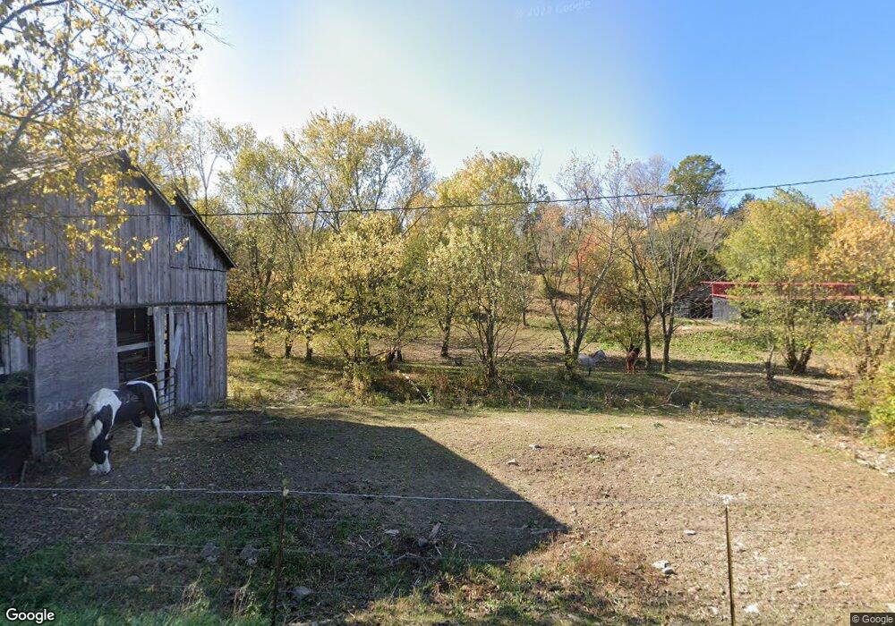
4321 Cincinnati Rd Georgetown, KY 40324
Muddy Ford NeighborhoodEstimated Value: $406,000 - $547,000
4
Beds
1
Bath
1,992
Sq Ft
$244/Sq Ft
Est. Value
About This Home
This home is located at 4321 Cincinnati Rd, Georgetown, KY 40324 and is currently estimated at $486,324, approximately $244 per square foot. 4321 Cincinnati Rd is a home located in Scott County with nearby schools including Northern Elementary School, Royal Spring Middle School, and Scott County High School.
Ownership History
Date
Name
Owned For
Owner Type
Purchase Details
Closed on
Jul 30, 2021
Sold by
Jamison Tommy and Jamison Christy V
Bought by
Slone Craig
Current Estimated Value
Purchase Details
Closed on
Jul 6, 2018
Sold by
Kelly Betty Carol and Kelly Rodney
Bought by
Slone Craig Lyndon and Slone Amanda L
Home Financials for this Owner
Home Financials are based on the most recent Mortgage that was taken out on this home.
Original Mortgage
$283,500
Interest Rate
3.13%
Mortgage Type
Adjustable Rate Mortgage/ARM
Create a Home Valuation Report for This Property
The Home Valuation Report is an in-depth analysis detailing your home's value as well as a comparison with similar homes in the area
Home Values in the Area
Average Home Value in this Area
Purchase History
| Date | Buyer | Sale Price | Title Company |
|---|---|---|---|
| Slone Craig | $35,000 | Bluegrass Land Title Llc | |
| Slone Craig Lyndon | $315,000 | None Available | |
| Slone Craig Lyndon | $315,000 | None Available |
Source: Public Records
Mortgage History
| Date | Status | Borrower | Loan Amount |
|---|---|---|---|
| Previous Owner | Slone Craig Lyndon | $283,500 |
Source: Public Records
Tax History
| Year | Tax Paid | Tax Assessment Tax Assessment Total Assessment is a certain percentage of the fair market value that is determined by local assessors to be the total taxable value of land and additions on the property. | Land | Improvement |
|---|---|---|---|---|
| 2025 | $912 | $330,400 | $0 | $0 |
| 2024 | $921 | $330,400 | $0 | $0 |
| 2023 | $929 | $102,409 | $27,009 | $75,400 |
| 2022 | $841 | $98,935 | $23,535 | $75,400 |
| 2021 | $868 | $98,935 | $23,535 | $75,400 |
| 2020 | $833 | $96,981 | $21,581 | $75,400 |
| 2019 | $1,454 | $166,581 | $0 | $0 |
| 2018 | $837 | $96,394 | $0 | $0 |
| 2017 | $843 | $96,654 | $0 | $0 |
| 2016 | $731 | $90,801 | $0 | $0 |
| 2015 | $431 | $53,901 | $0 | $0 |
| 2014 | $419 | $54,801 | $0 | $0 |
| 2011 | $392 | $53,918 | $0 | $0 |
Source: Public Records
Map
Nearby Homes
- 4390 Cincinnati Pike
- 163 Westwoods Dr
- 180 Westwoods Dr
- 161 Westwoods Dr
- 187 Westwoods Dr
- 157 Westwoods Dr
- 141 Westwoods Dr
- 135 Westwoods Dr
- 131 Westwoods Dr
- 129 Westwoods Dr
- 127 Westwoods Dr
- 110 Westwoods Dr
- 121 Blackberry Ln
- 119 Blackberry Ln
- 117 Blackberry Ln
- 115 Blackberry Ln
- 111 Blackberry Ln
- 103 Brant Ct
- 107 Blackberry Ln
- 350 Pike St
- 4321 Cincinnati Rd
- 4321 Cincinnati Rd
- 4326 Cincinnati Rd
- 4391 Cincinnati Rd
- 4391 Cincinnati Rd
- 4350 Cincinnati Rd
- 4280 Cincinnati Rd
- 4390 Cincinnati Rd
- 4250 Cincinnati Rd
- 4400 Cincinnati Rd
- 4248 Cincinnati Rd
- 327 Double Culvert Rd
- 100 Redbud Ln
- 140 Brooks Ln
- 9018 Brooks Ln
- 6468 Brooks Ln
- 7771 Brooks Ln
- 7101 Brooks Ln
- 7437 Brooks Ln
- 7775 Brooks Ln
