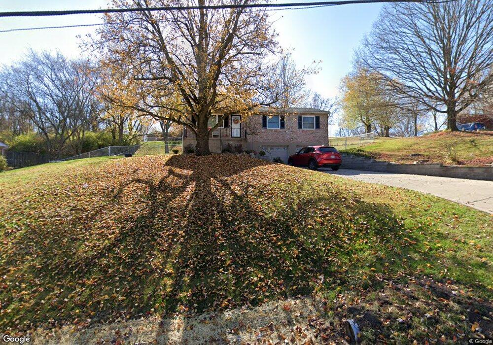
4321 Hubble Rd Cincinnati, OH 45247
White Oak West NeighborhoodEstimated Value: $259,283 - $289,000
3
Beds
2
Baths
1,218
Sq Ft
$228/Sq Ft
Est. Value
About This Home
This home is located at 4321 Hubble Rd, Cincinnati, OH 45247 and is currently estimated at $277,321, approximately $227 per square foot. 4321 Hubble Rd is a home located in Hamilton County with nearby schools including Monfort Heights Elementary School, White Oak Middle School, and Colerain High School.
Ownership History
Date
Name
Owned For
Owner Type
Purchase Details
Closed on
Sep 29, 1995
Sold by
Duncan Timothy and Duncan Elizabeth J
Bought by
Polen Harry Joe and Polen Stephanie N
Current Estimated Value
Home Financials for this Owner
Home Financials are based on the most recent Mortgage that was taken out on this home.
Original Mortgage
$98,300
Interest Rate
8%
Create a Home Valuation Report for This Property
The Home Valuation Report is an in-depth analysis detailing your home's value as well as a comparison with similar homes in the area
Home Values in the Area
Average Home Value in this Area
Purchase History
| Date | Buyer | Sale Price | Title Company |
|---|---|---|---|
| Polen Harry Joe | -- | -- |
Source: Public Records
Mortgage History
| Date | Status | Borrower | Loan Amount |
|---|---|---|---|
| Closed | Polen Harry Joe | $98,300 |
Source: Public Records
Tax History
| Year | Tax Paid | Tax Assessment Tax Assessment Total Assessment is a certain percentage of the fair market value that is determined by local assessors to be the total taxable value of land and additions on the property. | Land | Improvement |
|---|---|---|---|---|
| 2025 | $3,503 | $64,495 | $16,216 | $48,279 |
| 2024 | $3,425 | $64,495 | $16,216 | $48,279 |
| 2023 | $3,442 | $64,495 | $16,216 | $48,279 |
| 2022 | $3,124 | $47,814 | $15,134 | $32,680 |
| 2021 | $2,864 | $47,814 | $15,134 | $32,680 |
| 2020 | $2,893 | $47,814 | $15,134 | $32,680 |
| 2019 | $2,851 | $42,694 | $13,514 | $29,180 |
| 2018 | $2,540 | $42,694 | $13,514 | $29,180 |
| 2017 | $2,401 | $42,694 | $13,514 | $29,180 |
| 2016 | $2,472 | $43,306 | $13,377 | $29,929 |
| 2015 | $2,495 | $43,306 | $13,377 | $29,929 |
| 2014 | $2,499 | $43,306 | $13,377 | $29,929 |
| 2013 | $2,361 | $43,744 | $13,514 | $30,230 |
Source: Public Records
Map
Nearby Homes
- 4357 Hubble Rd
- 6130 Wilmer Rd
- 6150 Wilmer Rd
- 5080 Jessup Rd
- 4021 Hanley Rd
- 3631 Semloh Ave
- 4643 Whispering Oak Trail
- 3727 Hanley Rd
- 4095 Philnoll Dr
- 4600 Farcrest Ct
- 6211 Cheviot Rd
- 6724 Cheviot Rd
- 6707 Weiss Rd
- 3798 Philnoll Dr
- 5769 Cheviot Rd
- 3899 Ridgedale Dr
- 5763 Cheviot Rd
- 5547 Hubble Rd
- 5765 Cheviot Rd Unit 52D
- 4192 Timberpoint Dr
- 4289 Hubble Rd
- 6166 Ramblingridge Dr
- 6154 Ramblingridge Dr
- 4257 Hubble Rd
- 4330 Hubble Rd
- 6196 Ramblingridge Dr
- 4308 Hubble Rd
- 6138 Ramblingridge Dr
- 4290 Hubble Rd
- 4386 Hubble Rd
- 6167 Ramblingridge Dr
- 4195 Hubble Rd
- 6159 Ramblingridge Dr
- 6175 Ramblingridge Dr
- 6183 Ramblingridge Dr
- 6151 Ramblingridge Dr
- 6197 Ramblingridge Dr
- 6191 Ramblingridge Dr
- 6132 Ramblingridge Dr
- 6143 Ramblingridge Dr
Your Personal Tour Guide
Ask me questions while you tour the home.