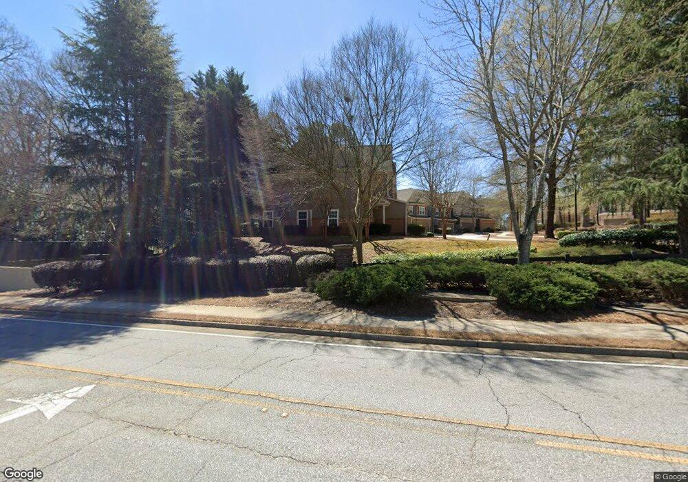
4321 Kousa Rd Austell, GA 30106
Estimated Value: $297,000 - $325,000
3
Beds
3
Baths
1,978
Sq Ft
$156/Sq Ft
Est. Value
About This Home
This home is located at 4321 Kousa Rd, Austell, GA 30106 and is currently estimated at $307,910, approximately $155 per square foot. 4321 Kousa Rd is a home located in Cobb County with nearby schools including Clarkdale Elementary School, Garrett Middle School, and South Cobb High School.
Ownership History
Date
Name
Owned For
Owner Type
Purchase Details
Closed on
Sep 12, 2017
Sold by
Mcpherson Nerissa D
Bought by
Predovan Celina
Current Estimated Value
Home Financials for this Owner
Home Financials are based on the most recent Mortgage that was taken out on this home.
Original Mortgage
$142,373
Outstanding Balance
$121,241
Interest Rate
4.75%
Mortgage Type
FHA
Estimated Equity
$186,669
Purchase Details
Closed on
Dec 30, 2005
Sold by
Mccar Dev Corp
Bought by
Mcpherson Nerissa D
Home Financials for this Owner
Home Financials are based on the most recent Mortgage that was taken out on this home.
Original Mortgage
$151,000
Interest Rate
6.25%
Mortgage Type
New Conventional
Create a Home Valuation Report for This Property
The Home Valuation Report is an in-depth analysis detailing your home's value as well as a comparison with similar homes in the area
Home Values in the Area
Average Home Value in this Area
Purchase History
| Date | Buyer | Sale Price | Title Company |
|---|---|---|---|
| Predovan Celina | $145,000 | -- | |
| Mcpherson Nerissa D | $188,800 | -- |
Source: Public Records
Mortgage History
| Date | Status | Borrower | Loan Amount |
|---|---|---|---|
| Open | Predovan Celina | $142,373 | |
| Previous Owner | Mcpherson Nerissa D | $151,000 |
Source: Public Records
Tax History
| Year | Tax Paid | Tax Assessment Tax Assessment Total Assessment is a certain percentage of the fair market value that is determined by local assessors to be the total taxable value of land and additions on the property. | Land | Improvement |
|---|---|---|---|---|
| 2025 | $3,004 | $127,940 | $28,000 | $99,940 |
| 2024 | $3,006 | $127,940 | $28,000 | $99,940 |
| 2023 | $2,123 | $112,212 | $20,000 | $92,212 |
Source: Public Records
Map
Nearby Homes
- 1951 Bay Beauty Ln Unit 10
- 4349 Kousa Rd Unit 4
- 2013 Chesley Dr
- 2081 Lenoa Ln
- 2083 Lenoa Ln
- 2085 Lenoa Ln
- 1808 Elmwood Dr
- 2034 Drennon Ave
- 1809 Elmwood Dr
- 4390 Chelou Dr
- 4420 Pink Rose Ct
- 4287 Keats Ct
- 2110 Plum Ln
- 4814 Clove Dr SW
- 1558 Silver Ridge Dr SW
- 1558 Silver Ridge Dr
- 4630 Hemlock Dr
- 4688 Bennett St
- 1741 Seayes Rd
- 4319 Tradition Terrace
- 4321 Kousa Rd Unit 1
- 4323 Kousa Rd Unit 1
- 4319 Kousa Rd Unit 1
- 4319 Kousa Rd
- 4317 Kousa Rd Unit 4317
- 4317 Kousa Rd Unit 1
- 4317 Kousa Rd
- 4327 Kousa Rd Unit 2
- 4329 Kousa Rd
- 4331 Kousa Rd Unit 2
- 4333 Kousa Rd Unit 2
- 1865 Anderson Mill Rd
- 4337 Kousa Rd Unit 3
- 4337 Kousa Rd Unit 4337
- 4332 Kousa Rd Unit 8
- 4332 Kousa Rd
- 4330 Kousa Rd Unit 8
- 4330 Kousa Rd
- 4339 Kousa Rd Unit 3
- 4328 Kousa Rd Unit 8
Your Personal Tour Guide
Ask me questions while you tour the home.