4321 Tory Path Rd Waxhaw, NC 28173
Estimated Value: $517,000 - $774,000
4
Beds
2
Baths
1,932
Sq Ft
$327/Sq Ft
Est. Value
About This Home
This home is located at 4321 Tory Path Rd, Waxhaw, NC 28173 and is currently estimated at $632,279, approximately $327 per square foot. 4321 Tory Path Rd is a home located in Union County with nearby schools including Waxhaw Elementary School, Parkwood Middle School, and Parkwood High School.
Ownership History
Date
Name
Owned For
Owner Type
Purchase Details
Closed on
Mar 18, 2004
Sold by
Ganis Rosa Lee
Bought by
Rusciolelli William J and Rusciolelli Deborah A
Current Estimated Value
Home Financials for this Owner
Home Financials are based on the most recent Mortgage that was taken out on this home.
Original Mortgage
$385,000
Interest Rate
5.72%
Mortgage Type
Seller Take Back
Create a Home Valuation Report for This Property
The Home Valuation Report is an in-depth analysis detailing your home's value as well as a comparison with similar homes in the area
Home Values in the Area
Average Home Value in this Area
Purchase History
| Date | Buyer | Sale Price | Title Company |
|---|---|---|---|
| Rusciolelli William J | $400,000 | -- |
Source: Public Records
Mortgage History
| Date | Status | Borrower | Loan Amount |
|---|---|---|---|
| Closed | Rusciolelli William J | $385,000 |
Source: Public Records
Tax History Compared to Growth
Tax History
| Year | Tax Paid | Tax Assessment Tax Assessment Total Assessment is a certain percentage of the fair market value that is determined by local assessors to be the total taxable value of land and additions on the property. | Land | Improvement |
|---|---|---|---|---|
| 2024 | $2,474 | $386,400 | $216,900 | $169,500 |
| 2023 | $2,434 | $386,400 | $216,900 | $169,500 |
| 2022 | $2,578 | $409,200 | $239,700 | $169,500 |
| 2021 | $2,571 | $409,200 | $239,700 | $169,500 |
| 2020 | $4,083 | $521,060 | $408,760 | $112,300 |
| 2019 | $4,093 | $521,060 | $408,760 | $112,300 |
| 2018 | $4,093 | $521,060 | $408,760 | $112,300 |
| 2017 | $4,285 | $521,100 | $408,800 | $112,300 |
| 2016 | $4,180 | $521,060 | $408,760 | $112,300 |
| 2015 | $4,244 | $521,060 | $408,760 | $112,300 |
| 2014 | $8,135 | $1,158,550 | $1,145,000 | $13,550 |
Source: Public Records
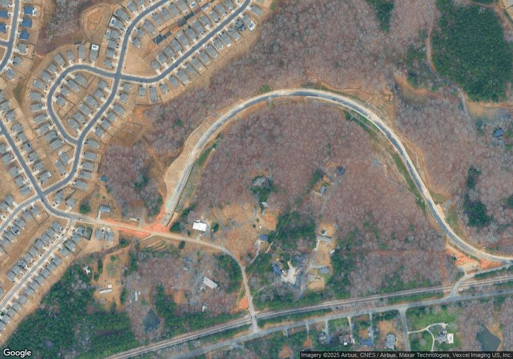
Map
Nearby Homes
- 3105 Deep River Way
- 5031 Lydney Cir
- 1017 Cheviot Ct
- 1005 Argentium Way
- 3038 Lydney Cir
- 5013 Hamilton Mill Dr
- 3009 Lydney Cir
- 1000 Hudson Mill Dr
- 1001 Linn Cove
- 5017 Millbridge Pkwy
- 8000 Millbridge Pkwy
- 7019 Hamilton Mill Dr
- 1009 Cheviot Ct
- 2032 Burton Point Ct
- 3013 Whipcord Dr
- 1025 Hamilton Mill Dr
- 2004 Whipcord Dr
- 1024 Gabardine Ln
- 0 Rockwood Dr
- 4607 Ferguson Cir
- 4321 Tory Path Rd
- 3117 Deep River Way
- 3109 Deep River Way
- 3113 Deep River Way
- 3121 Deep River Way
- 3125 Deep River Way
- 3101 Deep River Way Unit 1635
- 4415 Tory Path Rd
- 3129 Deep River Way
- 3133 Deep River Way
- 3095 Deep River Way Unit 1634
- 3120 Deep River Way
- 3141 Deep River Way
- 3116 Deep River Way
- 3112 Deep River Way Unit 1659
- 4624 Helms Rd
- 3108 Deep River Way
- 3108 Deep River Way Unit 1660
- 3091 Deep River Way
- 3091 Deep River Way Unit 1633