Estimated Value: $165,384 - $223,000
3
Beds
1
Bath
1,080
Sq Ft
$174/Sq Ft
Est. Value
About This Home
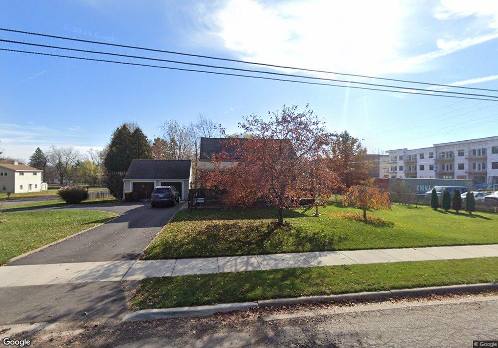
This home is located at 4325 Bond Ave, Holt, MI 48842 and is currently estimated at $187,846, approximately $173 per square foot. 4325 Bond Ave is a home located in Ingham County with nearby schools including Elliott Elementary School, Hope Middle School, and Holt Junior High School.
Ownership History
Date
Name
Owned For
Owner Type
Purchase Details
Closed on
Sep 1, 2017
Sold by
Sherman Gary L and Sherman Dawn M
Bought by
Sherman Gary L and Sherman Dawn M
Current Estimated Value
Purchase Details
Closed on
Sep 21, 2016
Sold by
Sherman Gary L and Sherman Dawn M
Bought by
Sherman Gary L and Sherman Dawn M
Home Financials for this Owner
Home Financials are based on the most recent Mortgage that was taken out on this home.
Original Mortgage
$92,000
Outstanding Balance
$73,486
Interest Rate
3.43%
Mortgage Type
New Conventional
Estimated Equity
$114,360
Create a Home Valuation Report for This Property
The Home Valuation Report is an in-depth analysis detailing your home's value as well as a comparison with similar homes in the area
Home Values in the Area
Average Home Value in this Area
Purchase History
| Date | Buyer | Sale Price | Title Company |
|---|---|---|---|
| Sherman Gary L | -- | None Available | |
| Sherman Gary L | -- | Sterling Title Agency | |
| Sherman Gary L | -- | Sterling Title Agency |
Source: Public Records
Mortgage History
| Date | Status | Borrower | Loan Amount |
|---|---|---|---|
| Open | Sherman Gary L | $92,000 |
Source: Public Records
Tax History Compared to Growth
Tax History
| Year | Tax Paid | Tax Assessment Tax Assessment Total Assessment is a certain percentage of the fair market value that is determined by local assessors to be the total taxable value of land and additions on the property. | Land | Improvement |
|---|---|---|---|---|
| 2025 | $2,987 | $78,800 | $25,000 | $53,800 |
| 2024 | $2,747 | $77,200 | $25,000 | $52,200 |
| 2023 | $2,747 | $76,400 | $25,000 | $51,400 |
| 2022 | $2,618 | $69,000 | $25,000 | $44,000 |
| 2021 | $2,561 | $61,700 | $19,300 | $42,400 |
| 2020 | $2,665 | $59,800 | $19,300 | $40,500 |
| 2019 | $2,558 | $56,900 | $17,700 | $39,200 |
| 2018 | $2,543 | $55,500 | $17,700 | $37,800 |
| 2017 | $2,384 | $55,500 | $17,700 | $37,800 |
| 2016 | $2,305 | $54,600 | $14,700 | $39,900 |
| 2015 | $2,281 | $51,000 | $29,432 | $21,568 |
| 2014 | $2,281 | $49,800 | $29,432 | $20,368 |
Source: Public Records
Map
Nearby Homes
- 4295 Bond Ave
- 4282 Woodworth Ave
- 4245 Holt Rd
- 2216 Coolridge Rd
- 4198 Greenwood Ave
- 4190 Greenwood Ave
- 4221 Watson Ave
- 4461 Holt Rd
- 4172 Dallas Ave
- 1858 Hall St
- 2189 N Aurelius Rd
- 0 Aurelius Rd Unit 282659
- 4568 Grove St
- 4604 Kathy Ct
- 4314 Ringneck Ln
- 1910 Phillips Ave
- 4452 Cricket Ridge Dr Unit 202
- 4615 Tolland Ave
- 4621 Sycamore St
- 4641 Tolland Ave
- 2075 Coolridge Rd
- 4326 Bond Ave
- 4338 Bond Ave
- 2080 Coolridge Rd
- 4304 Bond Ave
- 4312 Bond Ave
- 2069 Coolridge Rd
- 2063 Coolridge Rd
- 2097 Coolridge Rd
- 2030 Cedar St
- 2103 Meadowlawn Dr
- 4288 Woodworth Ave
- 2098 Coolridge Rd
- 2059 Coolridge Rd
- 4283 Bond Ave
- 2101 Coolridge Rd
- 2113 Meadowlawn Dr
- 2080 Cedar St
- 2104 Coolridge Rd