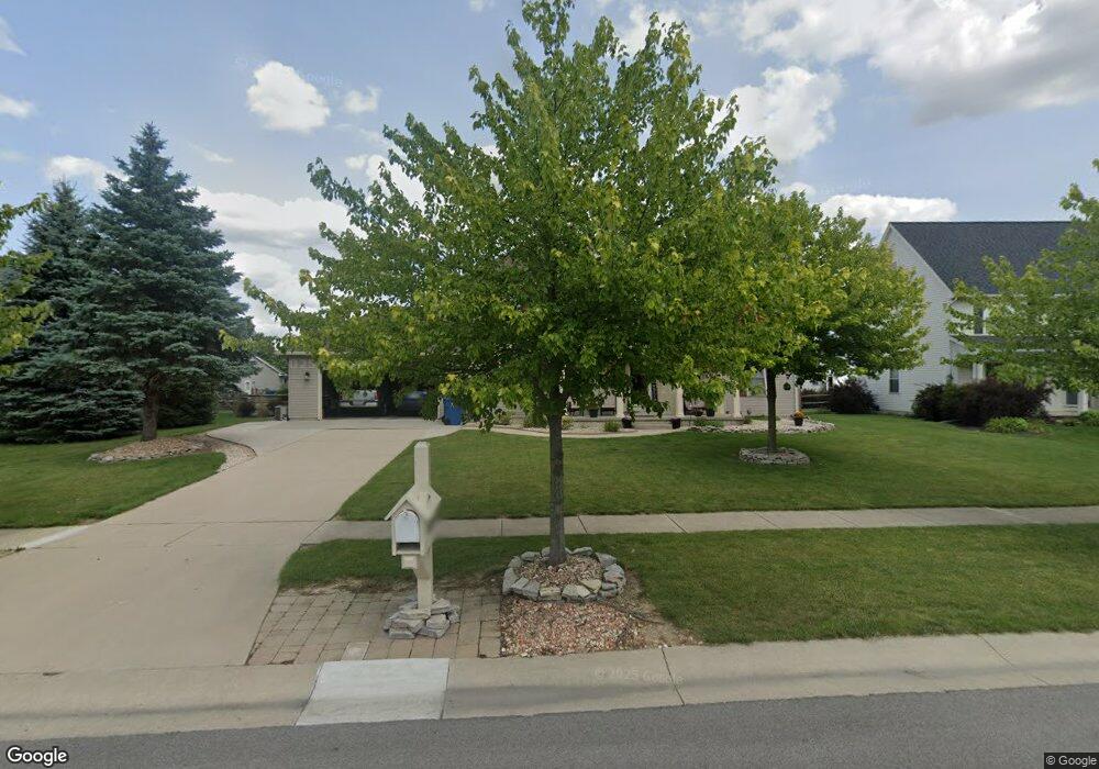
4325 Stable Path Dr Maumee, OH 43537
Estimated Value: $402,000 - $425,000
3
Beds
3
Baths
2,334
Sq Ft
$177/Sq Ft
Est. Value
About This Home
This home is located at 4325 Stable Path Dr, Maumee, OH 43537 and is currently estimated at $412,183, approximately $176 per square foot. 4325 Stable Path Dr is a home located in Lucas County with nearby schools including Anthony Wayne High School, Ohio Digital Learning School, and St Joseph Catholic School.
Ownership History
Date
Name
Owned For
Owner Type
Purchase Details
Closed on
Jul 18, 2003
Sold by
Crockett Heidi and Crockett Bruce
Bought by
Crockett Bruce and Crockett Heidi
Current Estimated Value
Home Financials for this Owner
Home Financials are based on the most recent Mortgage that was taken out on this home.
Original Mortgage
$158,000
Outstanding Balance
$65,629
Interest Rate
5.3%
Mortgage Type
Purchase Money Mortgage
Estimated Equity
$346,554
Purchase Details
Closed on
Mar 4, 2002
Sold by
Faulkner R
Bought by
Herion Heidi
Home Financials for this Owner
Home Financials are based on the most recent Mortgage that was taken out on this home.
Original Mortgage
$36,000
Interest Rate
6.92%
Purchase Details
Closed on
Apr 3, 2001
Sold by
Olde Farm Inc
Bought by
Faulkner R and Stable Path Road Trust
Create a Home Valuation Report for This Property
The Home Valuation Report is an in-depth analysis detailing your home's value as well as a comparison with similar homes in the area
Home Values in the Area
Average Home Value in this Area
Purchase History
| Date | Buyer | Sale Price | Title Company |
|---|---|---|---|
| Crockett Bruce | -- | Multiple | |
| Herion Heidi | -- | Metropolitan Title Agency In | |
| Faulkner R | $42,900 | Louisville Title Agency For |
Source: Public Records
Mortgage History
| Date | Status | Borrower | Loan Amount |
|---|---|---|---|
| Open | Crockett Bruce | $158,000 | |
| Closed | Herion Heidi | $36,000 |
Source: Public Records
Tax History
| Year | Tax Paid | Tax Assessment Tax Assessment Total Assessment is a certain percentage of the fair market value that is determined by local assessors to be the total taxable value of land and additions on the property. | Land | Improvement |
|---|---|---|---|---|
| 2025 | -- | $134,750 | $19,460 | $115,290 |
| 2024 | $3,762 | $144,585 | $19,460 | $125,125 |
| 2023 | $6,208 | $105,420 | $15,855 | $89,565 |
| 2022 | $6,230 | $105,420 | $15,855 | $89,565 |
| 2021 | $6,072 | $105,420 | $15,855 | $89,565 |
| 2020 | $5,873 | $91,350 | $13,300 | $78,050 |
| 2019 | $5,630 | $91,350 | $13,300 | $78,050 |
| 2018 | $5,051 | $91,350 | $13,300 | $78,050 |
| 2017 | $4,653 | $69,930 | $16,485 | $53,445 |
| 2016 | $4,608 | $199,800 | $47,100 | $152,700 |
| 2015 | $4,419 | $199,800 | $47,100 | $152,700 |
| 2014 | $4,198 | $67,910 | $16,000 | $51,910 |
| 2013 | $4,198 | $67,910 | $16,000 | $51,910 |
Source: Public Records
Map
Nearby Homes
- 4351 Sage St
- 4339 Sage St
- 4417 Clearwater Dr E
- 4369 Post Office Cir
- 4321 Post Office Cir
- 4334 Post Office Cir
- 4346 Post Office Cir
- 3962 Secluded Ravine Ct
- 4455 Post Office Cir
- 4736 Lakeside Dr
- 4731 Lakeside Dr
- 4745 Lakeside Dr
- 3813 Timber Valley Dr
- 7522 Maumee Western Rd Unit 9
- 7512 Maumee Western Rd Unit 10
- 7632 Maumee Western Rd Unit 2
- 7508 Epaulet Ln
- 4644 Terra Ct
- 3556 Stillwater Blvd
- 7795 Southbranch Terrace
- 4333 Stable Path Dr
- 4315 Stable Path Dr
- 00 Stable Path Dr
- 4246 Stable Path Dr
- 4332 Cattlemans Cir
- 4341 Stable Path Dr
- 4316 Cattlemans Cir
- 4328 Stable Path Dr
- 4305 Stable Path Dr
- 4340 Cattlemans Cir
- 4316 Stable Path Dr
- 4349 Stable Path Dr
- 4308 Stable Path Dr
- 4348 Cattlemans Cir
- 4308 Cattlemans Cir
- 4261 Stable Path Dr
- 00 Marissa Ct
- 4300 Stable Path Dr
- 4361 Stable Path Dr
- 7124 Marissa Ct
Your Personal Tour Guide
Ask me questions while you tour the home.