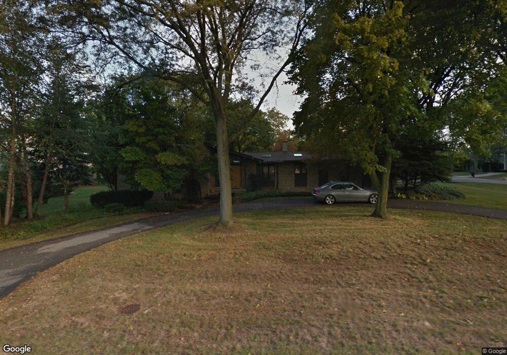
4326 Ardmore Dr Bloomfield Hills, MI 48302
Estimated Value: $732,682 - $919,000
5
Beds
4
Baths
3,236
Sq Ft
$260/Sq Ft
Est. Value
About This Home
This home is located at 4326 Ardmore Dr, Bloomfield Hills, MI 48302 and is currently estimated at $841,921, approximately $260 per square foot. 4326 Ardmore Dr is a home located in Oakland County with nearby schools including Way Elementary School, South Hills Middle School, and Bloomfield Hills High School.
Ownership History
Date
Name
Owned For
Owner Type
Purchase Details
Closed on
May 9, 2025
Sold by
Belian Raffi S
Bought by
Belian Raffi S and Belian Zeinab M
Current Estimated Value
Purchase Details
Closed on
Dec 2, 2008
Sold by
Twedt Rene L and Twedt John B
Bought by
Lasalle Bank Na
Purchase Details
Closed on
Dec 7, 2000
Sold by
Wilson William W
Bought by
Twedt John B
Home Financials for this Owner
Home Financials are based on the most recent Mortgage that was taken out on this home.
Original Mortgage
$370,000
Interest Rate
7.8%
Create a Home Valuation Report for This Property
The Home Valuation Report is an in-depth analysis detailing your home's value as well as a comparison with similar homes in the area
Home Values in the Area
Average Home Value in this Area
Purchase History
| Date | Buyer | Sale Price | Title Company |
|---|---|---|---|
| Belian Raffi S | -- | None Listed On Document | |
| Lasalle Bank Na | $683,884 | None Available | |
| Twedt John B | -- | -- |
Source: Public Records
Mortgage History
| Date | Status | Borrower | Loan Amount |
|---|---|---|---|
| Previous Owner | Twedt John B | $370,000 |
Source: Public Records
Tax History Compared to Growth
Tax History
| Year | Tax Paid | Tax Assessment Tax Assessment Total Assessment is a certain percentage of the fair market value that is determined by local assessors to be the total taxable value of land and additions on the property. | Land | Improvement |
|---|---|---|---|---|
| 2024 | $3,574 | $309,800 | $0 | $0 |
| 2023 | $3,458 | $276,830 | $0 | $0 |
| 2022 | $6,499 | $250,700 | $0 | $0 |
| 2021 | $6,454 | $237,140 | $0 | $0 |
| 2020 | $3,163 | $233,790 | $0 | $0 |
| 2019 | $6,124 | $246,350 | $0 | $0 |
| 2018 | $6,100 | $261,500 | $0 | $0 |
| 2017 | $6,057 | $255,720 | $0 | $0 |
| 2016 | $6,067 | $253,480 | $0 | $0 |
| 2015 | -- | $245,770 | $0 | $0 |
| 2014 | -- | $182,190 | $0 | $0 |
| 2011 | -- | $175,150 | $0 | $0 |
Source: Public Records
Map
Nearby Homes
- 4650 Lahser Rd
- 931 Vaughan Rd
- 3797 Burning Tree Dr
- 801 W Long Lake Rd
- 3715 Lahser Rd
- 921 Pine Thistle Ln
- 362 Keswick Rd
- 4255 Telegraph Rd
- 1027 Joanne Ct
- 341 Keswick Rd
- 692 Bennington Dr
- 830 N Pemberton Rd
- 275 Barden Rd
- 3531 Brookside Dr
- 229 Barden Rd
- 596 Rudgate Rd
- 3515 Brookside Dr
- 110 Denbar Rd
- 3627 Shallow Brook Dr
- 3403 Chickering Ln
- 4424 Barchester Dr
- 4327 Ardmore Dr
- 4350 Ardmore Dr
- 4435 Barchester Dr
- 4341 Ardmore Dr
- 4427 Barchester Dr
- 4388 Barchester Dr
- 4380 Barchester Dr
- 4419 Barchester Dr
- 4447 Barchester Dr
- 4454 Barchester Dr
- 4365 Ardmore Dr
- 4376 Barchester Dr
- 4358 Ardmore Dr
- 4455 Barchester Dr
- 4457 Conmoore Ct
- 4370 Barchester Dr
- 4411 Barchester Dr
- 4383 Ardmore Dr
- 4465 Conmoore Ct