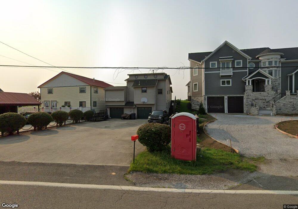
4327 N Bank Rd NE Millersport, OH 43046
Estimated Value: $528,758 - $803,000
4
Beds
2
Baths
1,176
Sq Ft
$552/Sq Ft
Est. Value
About This Home
This home is located at 4327 N Bank Rd NE, Millersport, OH 43046 and is currently estimated at $649,690, approximately $552 per square foot. 4327 N Bank Rd NE is a home located in Fairfield County with nearby schools including Millersport Elementary School and Millersport Jr/Sr High School.
Ownership History
Date
Name
Owned For
Owner Type
Purchase Details
Closed on
Jun 21, 1995
Sold by
Est Harriet L Crampton
Bought by
Kunz Paul D and Kunz Betty J
Current Estimated Value
Home Financials for this Owner
Home Financials are based on the most recent Mortgage that was taken out on this home.
Original Mortgage
$112,500
Interest Rate
7.9%
Mortgage Type
New Conventional
Create a Home Valuation Report for This Property
The Home Valuation Report is an in-depth analysis detailing your home's value as well as a comparison with similar homes in the area
Home Values in the Area
Average Home Value in this Area
Purchase History
| Date | Buyer | Sale Price | Title Company |
|---|---|---|---|
| Kunz Paul D | $125,000 | -- |
Source: Public Records
Mortgage History
| Date | Status | Borrower | Loan Amount |
|---|---|---|---|
| Closed | Kunz Paul D | $112,500 |
Source: Public Records
Tax History Compared to Growth
Tax History
| Year | Tax Paid | Tax Assessment Tax Assessment Total Assessment is a certain percentage of the fair market value that is determined by local assessors to be the total taxable value of land and additions on the property. | Land | Improvement |
|---|---|---|---|---|
| 2024 | $7,960 | $132,440 | $75,370 | $57,070 |
| 2023 | $4,869 | $132,440 | $75,370 | $57,070 |
| 2022 | $4,912 | $132,440 | $75,370 | $57,070 |
| 2021 | $4,101 | $101,650 | $62,810 | $38,840 |
| 2020 | $4,116 | $101,650 | $62,810 | $38,840 |
| 2019 | $4,117 | $101,650 | $62,810 | $38,840 |
| 2018 | $3,882 | $83,650 | $59,410 | $24,240 |
| 2017 | $3,882 | $87,990 | $59,410 | $28,580 |
| 2016 | $3,575 | $87,990 | $59,410 | $28,580 |
| 2015 | $3,977 | $86,710 | $59,410 | $27,300 |
| 2014 | $3,211 | $86,710 | $59,410 | $27,300 |
| 2013 | $3,211 | $86,710 | $59,410 | $27,300 |
Source: Public Records
Map
Nearby Homes
- 4255 N Bank Rd NE
- 4468 N Bank Rd NE
- 4135 Walnut Rd
- 3863 N Bank Rd NE
- 4881 Decker Ave NE
- 4711 Walnut Rd Unit F2
- 102 Leroy St
- 0 Beaver Rd NE
- 5102 Bateson Beach Dr NE
- 13309 Aspen Rd NE
- 13310 Shell Beach Rd NE
- 5130 Bateson Dr NE
- 3483 N Bank Rd
- 65 Stewart Ave
- 0 Aspen Rd NE
- 48 Rosebraugh Cir
- 3308 Shepard Ave
- 13556 Richards St NE
- 13200 Elm Rd NE
- 0 Forrest Rd NE
- 4333 N Bank Rd NE
- 4321 N Bank Rd NE
- 4313 N Bank Rd NE
- 4345 N Bank Rd NE
- 4351 N Bank Rd NE
- 4307 N Bank Rd NE
- 4357 N Bank Rd NE
- 4350 N Bank Rd NE
- 4295 N Bank Rd NE
- 4363 N Bank Rd NE
- 4289 N Bank Rd NE
- 4369 N Bank Rd NE
- 4283 N Bank Rd NE
- 4340 N Bank Rd NE
- 4340 N Bank Rd NE
- 4340 N Bank Rd NE
- 4340 N Bank Rd NE
- 4340 N Bank Rd NE
- 4375 N Bank Rd NE
- 4277 N Bank Rd NE