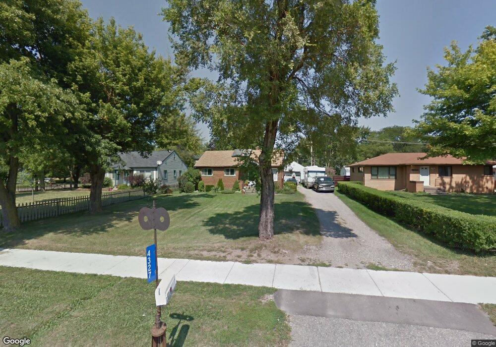
4327 Packard St Ann Arbor, MI 48108
Estimated Value: $361,000 - $370,000
4
Beds
1
Bath
1,474
Sq Ft
$248/Sq Ft
Est. Value
About This Home
This home is located at 4327 Packard St, Ann Arbor, MI 48108 and is currently estimated at $365,755, approximately $248 per square foot. 4327 Packard St is a home located in Washtenaw County with nearby schools including Carpenter Elementary School, Scarlett Middle School, and Huron High School.
Ownership History
Date
Name
Owned For
Owner Type
Purchase Details
Closed on
Aug 9, 2024
Sold by
Schneider Judy A and Torrance Jean S
Bought by
Torrance Jean
Current Estimated Value
Purchase Details
Closed on
Apr 23, 2024
Sold by
Donald E Schneider E and Donald Virginia A
Bought by
Schneider Judy A and Torrance Jean S
Purchase Details
Closed on
Dec 16, 2004
Sold by
Schneider Donald E
Bought by
Schneider Donald E
Create a Home Valuation Report for This Property
The Home Valuation Report is an in-depth analysis detailing your home's value as well as a comparison with similar homes in the area
Home Values in the Area
Average Home Value in this Area
Purchase History
| Date | Buyer | Sale Price | Title Company |
|---|---|---|---|
| Torrance Jean | $144,677 | First American Title | |
| Schneider Judy A | -- | None Listed On Document | |
| Schneider Judy A | -- | None Listed On Document | |
| Schneider Donald E | -- | None Available | |
| Donald E Schneider And Virginia A Schneider R | -- | None Listed On Document |
Source: Public Records
Tax History Compared to Growth
Tax History
| Year | Tax Paid | Tax Assessment Tax Assessment Total Assessment is a certain percentage of the fair market value that is determined by local assessors to be the total taxable value of land and additions on the property. | Land | Improvement |
|---|---|---|---|---|
| 2025 | $3,104 | $164,671 | $0 | $0 |
| 2024 | $2,076 | $152,130 | $0 | $0 |
| 2023 | $1,995 | $123,800 | $0 | $0 |
| 2022 | $3,092 | $124,000 | $0 | $0 |
| 2021 | $3,015 | $115,700 | $0 | $0 |
| 2020 | $2,964 | $104,400 | $0 | $0 |
| 2019 | $2,812 | $97,800 | $97,800 | $0 |
| 2018 | $2,769 | $85,300 | $0 | $0 |
| 2017 | $2,682 | $87,500 | $0 | $0 |
| 2016 | $1,658 | $65,201 | $0 | $0 |
| 2015 | -- | $65,006 | $0 | $0 |
| 2014 | -- | $62,976 | $0 | $0 |
| 2013 | -- | $62,976 | $0 | $0 |
Source: Public Records
Map
Nearby Homes
- 2514 Carlton Dr
- 3099 Village Cir Unit 52
- 3084 Turnberry Ln
- 2707 Brandywine Dr
- 2525 Yost Blvd
- 3819 Beech Dr
- 3611 Ca Canny Ct
- 6 Salem Ct
- 2839 Whitewood St
- 2460 Yost Blvd
- 3425 Norwood St
- 3446 Charing Cross Rd
- 2832 Pittsfield Blvd Unit 139
- 3455 Richard St
- 3457 Richard St
- 3005 Fernwood Ave Unit 103
- 2310 Pinecrest Ave
- 3436 Edgewood Dr
- 3325 Packard St
- 3995 Helen Ave
- 2923 Dalton Ave
- 4339 Packard St
- 2924 Oakdale Dr
- 4315 Packard St
- 2911 Dalton Ave
- 2912 Oakdale Dr
- 2896 Oakdale Dr
- 2940 Dalton Ave
- 2897 Dalton Ave
- 2920 Dalton Ave
- 2939 Oakdale Dr
- 2887 Dalton Ave
- 2904 Dalton Ave
- 2886 Oakdale Dr
- 2927 Oakdale Dr
- 4273 Packard St
- 2915 Oakdale Dr
- 2894 Dalton Ave
- 4427 Packard St
- 2897 Oakdale Dr