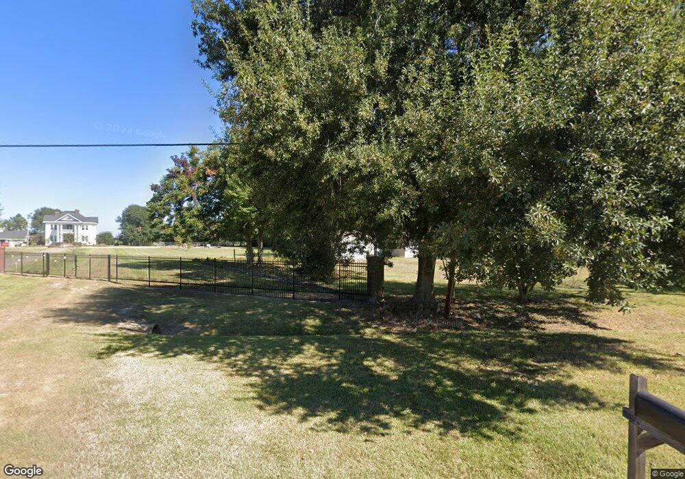
4328 Atlantic Rd Unit PURE Port Arthur, TX 77642
Estimated Value: $89,401 - $138,000
--
Bed
--
Bath
528
Sq Ft
$214/Sq Ft
Est. Value
About This Home
This home is located at 4328 Atlantic Rd Unit PURE, Port Arthur, TX 77642 and is currently estimated at $112,850, approximately $213 per square foot. 4328 Atlantic Rd Unit PURE is a home located in Jefferson County with nearby schools including Bob Hope Elementary School, Bob Hope High School, and St Catherine Of Siena School.
Ownership History
Date
Name
Owned For
Owner Type
Purchase Details
Closed on
Jun 21, 2025
Sold by
Thompson James Larry and Thompson Chase A
Bought by
O & B Investment Management Llc
Current Estimated Value
Purchase Details
Closed on
Jul 16, 2002
Sold by
Gisselberg David and Gisselberg Patricia A
Bought by
Thompson James L
Home Financials for this Owner
Home Financials are based on the most recent Mortgage that was taken out on this home.
Original Mortgage
$20,425
Interest Rate
6.69%
Create a Home Valuation Report for This Property
The Home Valuation Report is an in-depth analysis detailing your home's value as well as a comparison with similar homes in the area
Home Values in the Area
Average Home Value in this Area
Purchase History
| Date | Buyer | Sale Price | Title Company |
|---|---|---|---|
| O & B Investment Management Llc | -- | Corporation Service | |
| Thompson James L | -- | -- |
Source: Public Records
Mortgage History
| Date | Status | Borrower | Loan Amount |
|---|---|---|---|
| Previous Owner | Thompson James L | $20,425 |
Source: Public Records
Tax History Compared to Growth
Tax History
| Year | Tax Paid | Tax Assessment Tax Assessment Total Assessment is a certain percentage of the fair market value that is determined by local assessors to be the total taxable value of land and additions on the property. | Land | Improvement |
|---|---|---|---|---|
| 2025 | $2,192 | $87,849 | $35,980 | $51,869 |
| 2024 | $2,192 | $86,416 | $20,400 | $66,016 |
| 2023 | $2,192 | $63,935 | $0 | $0 |
| 2022 | $1,560 | $58,123 | $20,400 | $37,723 |
| 2021 | $1,667 | $58,123 | $20,400 | $37,723 |
| 2020 | $148 | $53,717 | $20,400 | $33,317 |
| 2019 | $1,401 | $47,760 | $20,400 | $27,360 |
| 2018 | $150 | $47,760 | $20,400 | $27,360 |
| 2017 | $150 | $47,760 | $20,400 | $27,360 |
| 2016 | $1,363 | $47,760 | $20,400 | $27,360 |
| 2015 | $294 | $47,760 | $20,400 | $27,360 |
| 2014 | $294 | $47,760 | $20,400 | $27,360 |
Source: Public Records
Map
Nearby Homes
- 6920 Pine Top Rd
- 7234 Terrell St
- 6748 Jefferson Blvd
- 6740 Coolidge St
- 6943 Howe St
- 4504 Mckinley Ave
- 6656 Madison St Unit 6655 Coolidge
- 6655 Hansen Blvd
- 6655 Coolidge Blvd
- 3226 Hickory Ave
- 4859 Harrison Ave
- 3240 Oak Ave
- 6538 Washington St
- 6501 Jefferson Blvd
- 6131 Jefferson Blvd
- 3240 Taft Ave
- 6454 Madison St
- 3235 Ash Ave
- 3034 Maple Ave
- 2801 Oxford Dr
- 4416 Atlantic Rd
- 4349 Atlantic Rd
- 4400 Atlantic Rd
- 4301 Atlantic Rd
- 4431 Atlantic Rd
- 4431 Atlantic Rd Unit *SARAH JANE ROAD*
- 4401 Atlantic Rd Unit PURE
- 4245 Atlantic Rd
- 4325 Atlantic Rd
- 4449 Atlantic Rd
- 4438 Atlantic Rd
- 4235 Atlantic Rd
- 4225 Coke Rd
- 4348 Coke Rd
- 4280 Atlantic Rd
- 7221 Weaver Dr
- 4201 Atlantic Rd
- 4201 Atlantic Rd
- 4445 Atlantic Rd
- 4500 Atlantic Rd
