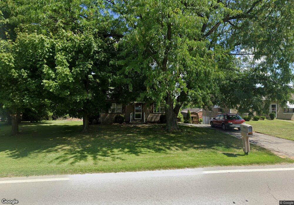
4328 W Fork Rd Cincinnati, OH 45247
West Monfort Heights NeighborhoodEstimated Value: $145,000 - $205,000
2
Beds
1
Bath
948
Sq Ft
$181/Sq Ft
Est. Value
About This Home
This home is located at 4328 W Fork Rd, Cincinnati, OH 45247 and is currently estimated at $172,051, approximately $181 per square foot. 4328 W Fork Rd is a home located in Hamilton County with nearby schools including Monfort Heights Elementary School, White Oak Middle School, and Colerain High School.
Ownership History
Date
Name
Owned For
Owner Type
Purchase Details
Closed on
Jun 24, 2009
Sold by
The Bank Of New York Mellon
Bought by
Hatfield Sandra
Current Estimated Value
Purchase Details
Closed on
Mar 20, 2009
Sold by
Mcculley Barbara
Bought by
Jpmorgan Chase Bank Na
Purchase Details
Closed on
May 27, 2003
Sold by
Nick Guetle Inc
Bought by
Mcculley Barbara A
Home Financials for this Owner
Home Financials are based on the most recent Mortgage that was taken out on this home.
Original Mortgage
$98,300
Interest Rate
7.87%
Mortgage Type
Unknown
Purchase Details
Closed on
Nov 14, 2002
Sold by
Nick Guetle Inc
Bought by
Cottage Pointe Development Co Ltd
Create a Home Valuation Report for This Property
The Home Valuation Report is an in-depth analysis detailing your home's value as well as a comparison with similar homes in the area
Home Values in the Area
Average Home Value in this Area
Purchase History
| Date | Buyer | Sale Price | Title Company |
|---|---|---|---|
| Hatfield Sandra | $65,000 | Servicelink | |
| Jpmorgan Chase Bank Na | $56,000 | None Available | |
| Mcculley Barbara A | $103,500 | Vintage Title Agency Inc | |
| Cottage Pointe Development Co Ltd | $30,000 | -- | |
| Nick Guetle Inc | $95,000 | -- |
Source: Public Records
Mortgage History
| Date | Status | Borrower | Loan Amount |
|---|---|---|---|
| Previous Owner | Mcculley Barbara A | $98,300 |
Source: Public Records
Tax History
| Year | Tax Paid | Tax Assessment Tax Assessment Total Assessment is a certain percentage of the fair market value that is determined by local assessors to be the total taxable value of land and additions on the property. | Land | Improvement |
|---|---|---|---|---|
| 2025 | $2,211 | $39,649 | $9,986 | $29,663 |
| 2024 | $2,214 | $39,649 | $9,986 | $29,663 |
| 2023 | $2,314 | $41,931 | $9,986 | $31,945 |
| 2022 | $1,981 | $29,387 | $9,727 | $19,660 |
| 2021 | $1,855 | $29,387 | $9,727 | $19,660 |
| 2020 | $1,832 | $29,387 | $9,727 | $19,660 |
| 2019 | $1,812 | $26,237 | $8,684 | $17,553 |
| 2018 | $1,620 | $26,237 | $8,684 | $17,553 |
| 2017 | $1,553 | $26,237 | $8,684 | $17,553 |
| 2016 | $1,371 | $22,523 | $8,586 | $13,937 |
| 2015 | $1,364 | $22,523 | $8,586 | $13,937 |
| 2014 | $1,369 | $22,523 | $8,586 | $13,937 |
| 2013 | $1,296 | $22,750 | $8,673 | $14,077 |
Source: Public Records
Map
Nearby Homes
- 4491 W Fork Rd
- 4252 Runningfawn Dr
- 4192 Timberpoint Dr
- 4366 Runningfawn Dr
- 3899 Ridgedale Dr
- 5320 Meadow Walk Ln
- 5165 N Bend Crossing
- 4600 Farcrest Ct
- 5440 Asbury Lake Dr
- 4643 Whispering Oak Trail
- 4575 Boomer Rd
- 5165 Rowan Dr
- 5225 Ivy Rose Ln
- 5339 Race Rd
- 5763 Cheviot Rd
- 5236 Ivy Rose Ln
- 5761 Cheviot Rd
- 5765 Cheviot Rd Unit 52D
- 5617 Cheviot Rd
- 5769 Cheviot Rd
- 4310 W Fork Rd
- 4354 W Fork Rd
- 4290 W Fork Rd
- 4292 W Fork Rd
- 4294 W Fork Rd
- 4300 W Fork Rd
- 4376 W Fork Rd
- 4311 W Fork Rd
- 4285 W Fork Rd
- 4270 W Fork Rd Unit 4270
- 4272 W Fork Rd Unit 4272
- 4274 W Fork Rd Unit 4274
- 5 W Fork Rd
- 4 W Fork Rd
- 3 W Fork Rd
- 4267 W Fork Rd
- 4412 W Fork Rd
- 4240 W Fork Rd
- 4249 W Fork Rd
- 4220 W Fork Rd
Your Personal Tour Guide
Ask me questions while you tour the home.