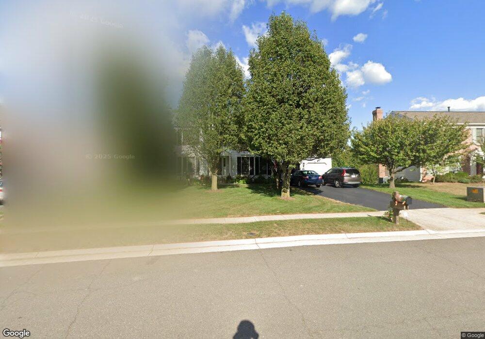
43280 Wayside Cir Ashburn, VA 20147
Estimated Value: $880,000 - $947,000
4
Beds
4
Baths
2,158
Sq Ft
$421/Sq Ft
Est. Value
About This Home
This home is located at 43280 Wayside Cir, Ashburn, VA 20147 and is currently estimated at $908,420, approximately $420 per square foot. 43280 Wayside Cir is a home located in Loudoun County with nearby schools including Sanders Corner Elementary School, Trailside Middle School, and Stone Bridge High.
Ownership History
Date
Name
Owned For
Owner Type
Purchase Details
Closed on
May 1, 1995
Sold by
Larocco Joseph J
Bought by
Kamien Walt H
Current Estimated Value
Home Financials for this Owner
Home Financials are based on the most recent Mortgage that was taken out on this home.
Original Mortgage
$203,000
Interest Rate
8.33%
Create a Home Valuation Report for This Property
The Home Valuation Report is an in-depth analysis detailing your home's value as well as a comparison with similar homes in the area
Home Values in the Area
Average Home Value in this Area
Purchase History
| Date | Buyer | Sale Price | Title Company |
|---|---|---|---|
| Kamien Walt H | $252,000 | -- |
Source: Public Records
Mortgage History
| Date | Status | Borrower | Loan Amount |
|---|---|---|---|
| Closed | Kamien Walt H | $203,000 |
Source: Public Records
Tax History Compared to Growth
Tax History
| Year | Tax Paid | Tax Assessment Tax Assessment Total Assessment is a certain percentage of the fair market value that is determined by local assessors to be the total taxable value of land and additions on the property. | Land | Improvement |
|---|---|---|---|---|
| 2025 | $6,736 | $836,810 | $306,300 | $530,510 |
| 2024 | $6,928 | $800,870 | $302,100 | $498,770 |
| 2023 | $6,808 | $778,010 | $302,100 | $475,910 |
| 2022 | $6,538 | $734,580 | $272,100 | $462,480 |
| 2021 | $6,330 | $645,930 | $222,100 | $423,830 |
| 2020 | $6,335 | $612,090 | $206,300 | $405,790 |
| 2019 | $6,252 | $598,230 | $206,300 | $391,930 |
| 2018 | $6,068 | $559,300 | $186,300 | $373,000 |
| 2017 | $6,173 | $548,710 | $186,300 | $362,410 |
| 2016 | $6,190 | $540,570 | $0 | $0 |
| 2015 | $6,107 | $351,750 | $0 | $351,750 |
| 2014 | $5,954 | $329,230 | $0 | $329,230 |
Source: Public Records
Map
Nearby Homes
- 43213 Wayside Cir
- 43494 Postrail Square
- 43535 Postrail Square
- 43501 Postrail Square
- 43301 Chokeberry Square
- 43300 Marymount Terrace Unit 301
- 43485 Plantation Terrace
- 21026 Timber Ridge Terrace Unit 202
- 20965 Timber Ridge Terrace Unit 304
- 43507 Blacksmith Square
- 20653 Southwind Terrace
- 20538 Courier Ridge Place
- 43218 Chokeberry Square
- 20920 Cedarpost Square Unit 200
- 43537 Graves Ln
- 43183 Glenelder Terrace
- 20471 Rolling Water Terrace
- 20857 Ashburn Rd
- 20903 Ivymount Terrace
- 20435 Scioto Terrace
- 43284 Wayside Cir
- 43276 Wayside Cir
- 43288 Wayside Cir
- 43272 Wayside Cir
- 43268 Wayside Cir
- 43285 Wayside Cir
- 43289 Wayside Cir
- 43292 Wayside Cir
- 43273 Wayside Cir
- 43260 Wayside Cir
- 43264 Wayside Cir
- 43398 Wildrose Ct
- 43478 Cross Breeze Place
- 43281 Wayside Cir
- 43394 Wildrose Ct
- 43269 Wayside Cir
- 43277 Wayside Cir
- 43256 Wayside Cir
- 43482 Cross Breeze Place
- 43390 Wildrose Ct