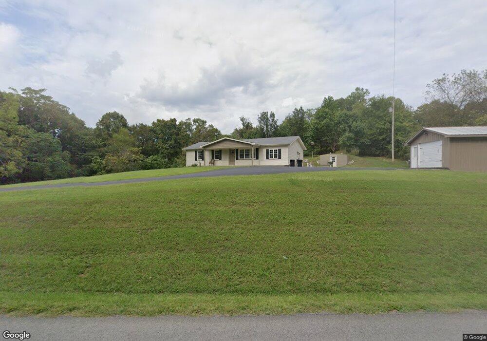
4329 Highway 1058 Jamestown, KY 42629
Estimated Value: $169,823 - $205,000
2
Beds
1
Bath
1,200
Sq Ft
$156/Sq Ft
Est. Value
About This Home
This home is located at 4329 Highway 1058, Jamestown, KY 42629 and is currently estimated at $186,706, approximately $155 per square foot. 4329 Highway 1058 is a home with nearby schools including Russell County High School.
Ownership History
Date
Name
Owned For
Owner Type
Purchase Details
Closed on
Aug 8, 2025
Sold by
Two Sisters And A Screwdriver Llc
Bought by
Collins Roger and Collins Rhonda
Current Estimated Value
Purchase Details
Closed on
Apr 12, 2024
Sold by
Kelsay Chad A
Bought by
Two Sisters & A Screwdriver Llc
Purchase Details
Closed on
Nov 15, 2019
Sold by
Lowe Dale and Lowe Kathy
Bought by
Kelsay Chad A
Home Financials for this Owner
Home Financials are based on the most recent Mortgage that was taken out on this home.
Original Mortgage
$68,530
Interest Rate
3.5%
Mortgage Type
New Conventional
Purchase Details
Closed on
Nov 12, 2015
Sold by
Mcquery Lisa M and Oakes Rosemary
Bought by
Lowe Dale and Lowe Kathy
Create a Home Valuation Report for This Property
The Home Valuation Report is an in-depth analysis detailing your home's value as well as a comparison with similar homes in the area
Home Values in the Area
Average Home Value in this Area
Purchase History
| Date | Buyer | Sale Price | Title Company |
|---|---|---|---|
| Collins Roger | -- | None Listed On Document | |
| Collins Roger | -- | None Listed On Document | |
| Two Sisters & A Screwdriver Llc | $100,000 | None Listed On Document | |
| Two Sisters & A Screwdriver Llc | $100,000 | None Listed On Document | |
| Kelsay Chad A | $77,000 | None Available | |
| Lowe Dale | $59,950 | None Available |
Source: Public Records
Mortgage History
| Date | Status | Borrower | Loan Amount |
|---|---|---|---|
| Previous Owner | Kelsay Chad A | $68,530 |
Source: Public Records
Tax History Compared to Growth
Tax History
| Year | Tax Paid | Tax Assessment Tax Assessment Total Assessment is a certain percentage of the fair market value that is determined by local assessors to be the total taxable value of land and additions on the property. | Land | Improvement |
|---|---|---|---|---|
| 2025 | $928 | $100,000 | $0 | $0 |
| 2024 | $729 | $77,000 | $0 | $0 |
| 2023 | $746 | $77,000 | $0 | $0 |
| 2022 | $749 | $77,000 | $0 | $0 |
| 2021 | $767 | $77,000 | $0 | $0 |
| 2020 | $769 | $77,000 | $0 | $0 |
| 2019 | $598 | $59,900 | $0 | $0 |
| 2018 | $594 | $59,900 | $0 | $0 |
| 2017 | $591 | $59,900 | $0 | $0 |
| 2016 | $578 | $59,900 | $0 | $0 |
| 2015 | -- | $50,000 | $0 | $0 |
| 2013 | -- | $50,000 | $0 | $0 |
Source: Public Records
Map
Nearby Homes
- 2794 Highway 1058
- 300 Helm Ln
- 500 Helm Ln
- 0 Old Sulphur Spring Rd
- 0 Sycamore Creek Rd Unit SC46844
- 1660 Crocus Rd
- 2440 S Highway 379
- 77 Rainbow Run
- 0 Rockhouse Trace Rd Unit RTC2747842
- 0 Rockhouse Trace Rd Unit Lots 36 & 37
- 420 Campbells Ferry Ln
- 111 Leveridge Ct
- 6 Swan Pond Rd
- 8239 S Highway 379
- 7384 N Highway 55
- Tract 1 Swan Pond Rd Unit CUMBERLAND RIVERBEND
- 86 Peninsula
- 1724 Melson Ridge Rd
- 59.75 Cr-1841
- 612 Little Indian Dr
- 4200 Highway 1058
- 4200 Highway 1058
- 2657 Kentucky 1058
- 4400 Hwy1058
- 482 Highway 1058
- 4400 Highway 1058
- 4435 Highway 1058
- 119 Sand Lick Creek Rd
- 3978 Highway 1058
- 3894 Highway 1058
- 3942 Highway 1058
- 3439 Highway 1058
- 3331 Highway 1058
- 3335 Highway 1058
- 3326 Highway 1058
- 3398 Highway 1058
- 3718 Highway 1058
- 37 Crocus Rd
- 381 Melson Ridge Rd
- 195 Melson Ridge Rd