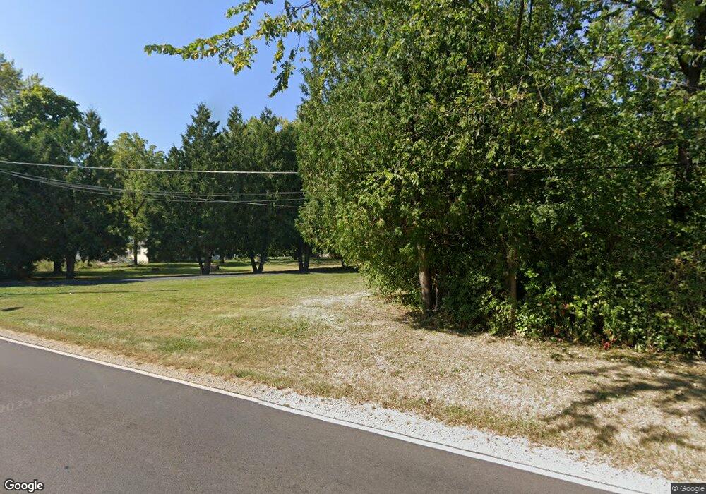
43296 N Trevor Rd Antioch, IL 60002
Lake Catherine NeighborhoodEstimated Value: $287,000 - $365,000
4
Beds
2
Baths
1,800
Sq Ft
$182/Sq Ft
Est. Value
About This Home
This home is located at 43296 N Trevor Rd, Antioch, IL 60002 and is currently estimated at $327,823, approximately $182 per square foot. 43296 N Trevor Rd is a home located in Lake County with nearby schools including Antioch Community High School.
Ownership History
Date
Name
Owned For
Owner Type
Purchase Details
Closed on
Mar 1, 2024
Sold by
Eugene David Kuntz Living Trust
Bought by
Kuntz Martin and Kuntz Deborah
Current Estimated Value
Purchase Details
Closed on
Jun 12, 2006
Sold by
Kuntz Eugene David
Bought by
Eugene David Kuntz Living Trust
Purchase Details
Closed on
Mar 27, 1996
Sold by
Bank Of Waukegan
Bought by
Kuntz Eugene D and Kuntz Margaret
Home Financials for this Owner
Home Financials are based on the most recent Mortgage that was taken out on this home.
Original Mortgage
$136,000
Interest Rate
6.5%
Create a Home Valuation Report for This Property
The Home Valuation Report is an in-depth analysis detailing your home's value as well as a comparison with similar homes in the area
Home Values in the Area
Average Home Value in this Area
Purchase History
| Date | Buyer | Sale Price | Title Company |
|---|---|---|---|
| Kuntz Martin | -- | None Listed On Document | |
| Eugene David Kuntz Living Trust | -- | None Available | |
| Kuntz Eugene D | $170,000 | Chicago Title Insurance Co |
Source: Public Records
Mortgage History
| Date | Status | Borrower | Loan Amount |
|---|---|---|---|
| Previous Owner | Kuntz Eugene D | $136,000 |
Source: Public Records
Tax History Compared to Growth
Tax History
| Year | Tax Paid | Tax Assessment Tax Assessment Total Assessment is a certain percentage of the fair market value that is determined by local assessors to be the total taxable value of land and additions on the property. | Land | Improvement |
|---|---|---|---|---|
| 2024 | $5,193 | $75,401 | $9,434 | $65,967 |
| 2023 | $5,193 | $67,515 | $8,447 | $59,068 |
| 2022 | $5,121 | $60,826 | $8,266 | $52,560 |
| 2021 | $4,688 | $56,757 | $7,713 | $49,044 |
| 2020 | $4,569 | $55,190 | $7,500 | $47,690 |
| 2019 | $4,630 | $52,778 | $7,172 | $45,606 |
| 2018 | $4,430 | $51,619 | $7,260 | $44,359 |
| 2017 | $4,312 | $49,133 | $6,910 | $42,223 |
| 2016 | $4,174 | $47,417 | $6,669 | $40,748 |
| 2015 | $4,123 | $46,211 | $6,499 | $39,712 |
| 2014 | $5,314 | $57,726 | $9,697 | $48,029 |
| 2012 | $5,435 | $60,254 | $9,697 | $50,557 |
Source: Public Records
Map
Nearby Homes
- 336 Hawthorn Ln
- 811 Tiffany Farms Rd
- 570 Collier Dr
- 12621 257th Ave
- 603 Ridgewood Dr
- 425 Joren Trail
- 735 Creek Bend Ln
- 558 1st St
- 582 Phillips Cir
- 782 Cameron Dr
- 43247 N Grandview Terrace
- 25022 W Catherine Ave
- 25118 W Catherine Ave
- 43380 N Mildred Ave
- 775 Highview Ct
- 0 Highview Dr Unit MRD11912210
- 25076 W Edgar Ave
- 24816 W Il Route 173
- 23607 125th St
- 25174 W Claridan Ave
- 43278 N Trevor Rd
- 43320 N Trevor Rd
- 43338 N Trevor Rd
- 360 Charles Dr
- 430 N Trevor Rd
- 752 Kennedy Dr
- 365 Charles Dr
- 371 Charles Dr
- 359 Charles Dr
- 43400 N Trevor Rd
- 353 Charles Dr
- 746 Kennedy Dr
- 744 Charles Dr
- 440 N Trevor Rd
- 740 Kennedy Dr
- 364 Anderson Rd
- 370 Anderson Rd
- 358 Anderson Rd
- 352 Anderson Rd
- 43433 N Trevor Rd
