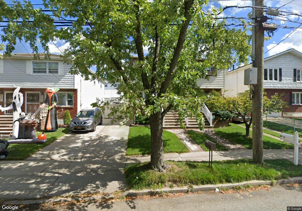
433 Abingdon Ave Staten Island, NY 10308
Great Kills NeighborhoodEstimated Value: $661,888 - $738,000
--
Bed
4
Baths
1,320
Sq Ft
$536/Sq Ft
Est. Value
About This Home
This home is located at 433 Abingdon Ave, Staten Island, NY 10308 and is currently estimated at $706,972, approximately $535 per square foot. 433 Abingdon Ave is a home located in Richmond County with nearby schools including P.S. 32 The Gifford School, I.S. 075 Frank D. Paulo, and Susan E Wagner High School.
Create a Home Valuation Report for This Property
The Home Valuation Report is an in-depth analysis detailing your home's value as well as a comparison with similar homes in the area
Home Values in the Area
Average Home Value in this Area
Tax History Compared to Growth
Tax History
| Year | Tax Paid | Tax Assessment Tax Assessment Total Assessment is a certain percentage of the fair market value that is determined by local assessors to be the total taxable value of land and additions on the property. | Land | Improvement |
|---|---|---|---|---|
| 2025 | $5,900 | $38,400 | $6,013 | $32,387 |
| 2024 | $5,900 | $36,240 | $6,371 | $29,869 |
| 2023 | $5,921 | $29,155 | $6,387 | $22,768 |
| 2022 | $5,491 | $32,100 | $7,860 | $24,240 |
| 2021 | $5,158 | $31,680 | $7,860 | $23,820 |
| 2020 | $4,886 | $28,080 | $7,860 | $20,220 |
| 2019 | $4,828 | $30,480 | $7,860 | $22,620 |
| 2018 | $4,655 | $24,296 | $7,057 | $17,239 |
| 2017 | $4,373 | $22,921 | $7,048 | $15,873 |
| 2016 | $4,013 | $21,624 | $6,497 | $15,127 |
| 2015 | $3,610 | $20,400 | $6,540 | $13,860 |
| 2014 | $3,610 | $20,400 | $6,540 | $13,860 |
Source: Public Records
Map
Nearby Homes
- 400 Brookfield Ave
- 379 Brookfield Ave
- 466 Doane Ave
- 1069 Armstrong Ave
- 74 E Brandis Ave
- 72 Eric Ln
- 969 Armstrong Ave
- 87 Pemberton Ave
- 12 Lexington Ln
- 339 Abingdon Ave
- 360 Barlow Ave Unit 32
- 360 Barlow Ave Unit 12
- 919 Armstrong Ave
- 132 Elkhart St
- 420 Arthur Kill Rd
- 234 Brookfield Ave
- 88 Cortelyou Ave
- 20 Michael Ct
- 543 Eltingville Blvd
- 248 Abingdon Ave
- 435 Abingdon Ave
- 429 Abingdon Ave
- 439 Abingdon Ave
- 427 Abingdon Ave
- 441 Abingdon Ave
- 445 Abingdon Ave
- 374 Brookfield Ave
- 376 Brookfield Ave
- 372 Brookfield Ave
- 378 Brookfield Ave
- 370 Brookfield Ave
- 380 Brookfield Ave
- 447 Abingdon Ave
- 382 Brookfield Ave
- 368 Brookfield Ave
- 384 Brookfield Ave
- 351 Gurley Ave
- 451 Abingdon Ave
- 386 Brookfield Ave
- 405 Abingdon Ave