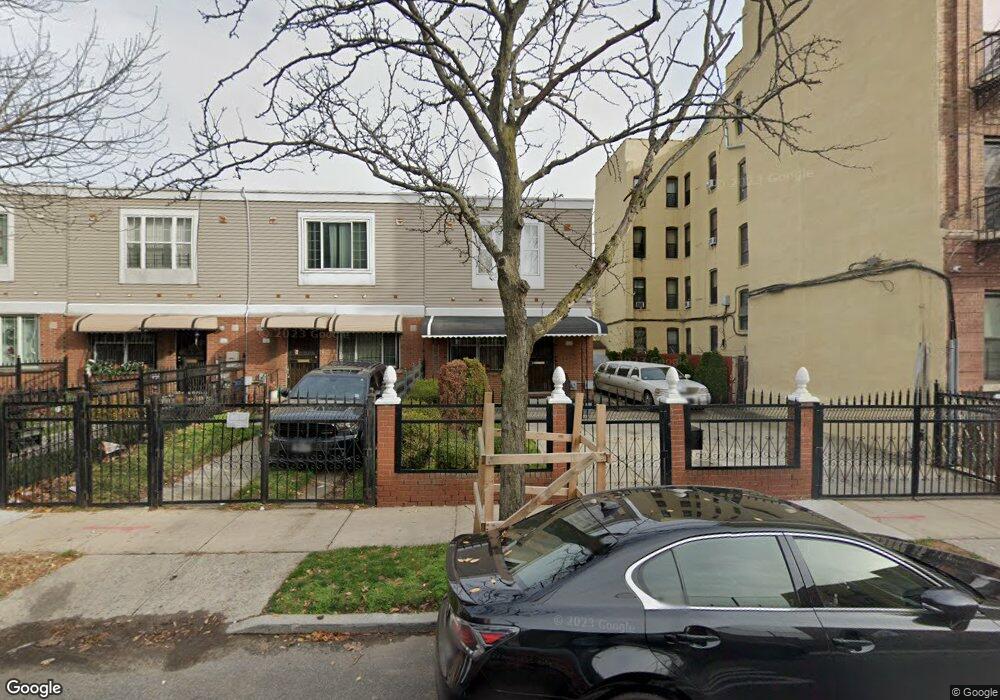
433 Alabama Ave Brooklyn, NY 11207
Brownsville NeighborhoodEstimated Value: $648,000 - $708,000
--
Bed
--
Bath
1,296
Sq Ft
$523/Sq Ft
Est. Value
About This Home
This home is located at 433 Alabama Ave, Brooklyn, NY 11207 and is currently estimated at $678,347, approximately $523 per square foot. 433 Alabama Ave is a home located in Kings County with nearby schools including Brooklyn Gardens Elementary School, J.H.S 292 Margaret S. Douglas, and Achievement First - East New York School.
Ownership History
Date
Name
Owned For
Owner Type
Purchase Details
Closed on
Jul 9, 2012
Sold by
Boyd Kim D
Bought by
Boyd Miles N
Current Estimated Value
Purchase Details
Closed on
Jun 2, 1999
Sold by
Nehemiah Housing Development Fund Co Inc
Bought by
Boyd Kim D
Home Financials for this Owner
Home Financials are based on the most recent Mortgage that was taken out on this home.
Original Mortgage
$20,000
Interest Rate
7.65%
Create a Home Valuation Report for This Property
The Home Valuation Report is an in-depth analysis detailing your home's value as well as a comparison with similar homes in the area
Home Values in the Area
Average Home Value in this Area
Purchase History
| Date | Buyer | Sale Price | Title Company |
|---|---|---|---|
| Boyd Miles N | -- | -- | |
| Boyd Kim D | $102,000 | First American Title Ins Co |
Source: Public Records
Mortgage History
| Date | Status | Borrower | Loan Amount |
|---|---|---|---|
| Previous Owner | Boyd Kim D | $20,000 | |
| Closed | Boyd Kim D | $77,000 |
Source: Public Records
Tax History Compared to Growth
Tax History
| Year | Tax Paid | Tax Assessment Tax Assessment Total Assessment is a certain percentage of the fair market value that is determined by local assessors to be the total taxable value of land and additions on the property. | Land | Improvement |
|---|---|---|---|---|
| 2025 | $5,276 | $35,640 | $16,800 | $18,840 |
| 2024 | $5,276 | $40,680 | $16,800 | $23,880 |
| 2023 | $5,335 | $35,940 | $16,800 | $19,140 |
| 2022 | $5,204 | $29,400 | $16,800 | $12,600 |
| 2021 | $5,176 | $29,880 | $16,800 | $13,080 |
| 2020 | $2,427 | $25,440 | $16,800 | $8,640 |
| 2019 | $4,579 | $25,440 | $16,800 | $8,640 |
| 2018 | $4,204 | $21,889 | $9,219 | $12,670 |
| 2017 | $3,912 | $21,723 | $9,053 | $12,670 |
| 2016 | $3,337 | $20,494 | $7,824 | $12,670 |
| 2015 | $1,041 | $19,335 | $6,665 | $12,670 |
| 2014 | $1,041 | $18,241 | $5,571 | $12,670 |
Source: Public Records
Map
Nearby Homes
- 406 Hinsdale St
- 637 Blake Ave
- 297 Hinsdale St
- 486 Vermont St
- 444 New Jersey Ave
- 353 Pennsylvania Ave
- 576 Williams Ave
- 533 Snediker Ave
- 541 Hinsdale St
- 578 Williams Ave
- 582 Williams Ave
- 477 Vermont St
- 440 Blake Ave
- 606 Alabama Ave
- 439 Vermont St
- 317 Pennsylvania Ave
- 610 Alabama Ave
- 421 New Lots Ave
- 663 Sutter Ave
- 427 New Lots Ave
- 431 Alabama Ave
- 429 Alabama Ave
- 427 Alabama Ave
- 425 Alabama Ave
- 423 Alabama Ave
- 440 Georgia Ave
- 421 Alabama Ave
- 438 Georgia Ave
- 436 Georgia Ave
- 434 Georgia Ave
- 432 Georgia Ave
- 461 Alabama Ave
- 564-586 Dumont Ave
- 446-466 Alabama Ave
- 441 Georgia Ave
- 443 Georgia Ave
- 439 Georgia Ave
- 445 Georgia Ave
- 437-439 Georgia Ave
- 437 Georgia Ave Unit 439