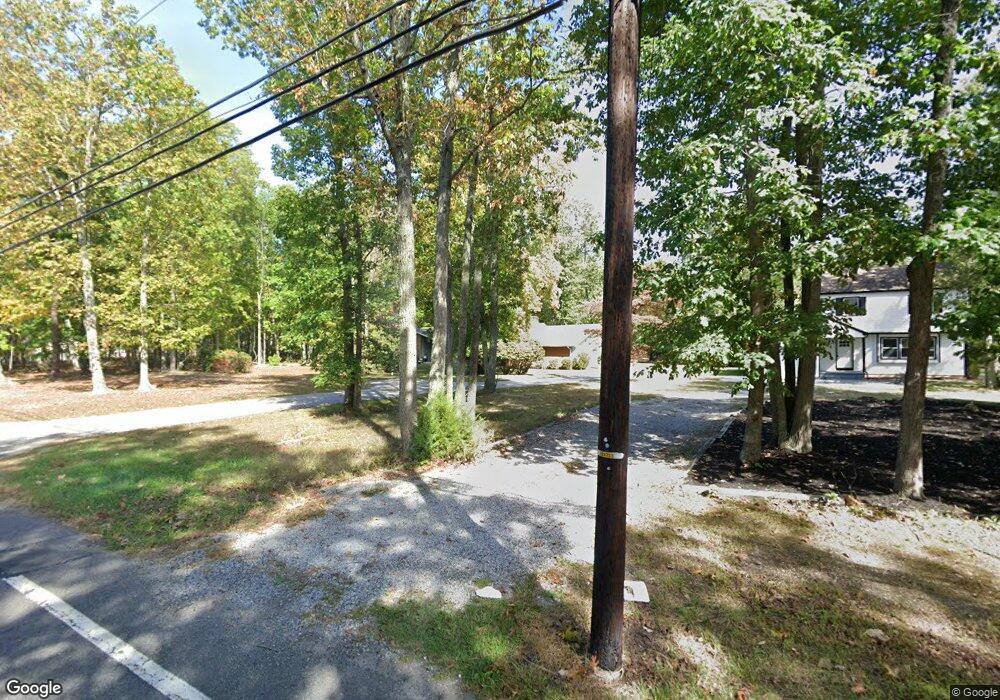
433 Atsion Rd Shamong, NJ 08088
Estimated Value: $433,000 - $485,426
Studio
--
Bath
1,544
Sq Ft
$301/Sq Ft
Est. Value
About This Home
This home is located at 433 Atsion Rd, Shamong, NJ 08088 and is currently estimated at $464,357, approximately $300 per square foot. 433 Atsion Rd is a home located in Burlington County with nearby schools including Indian Mills Elementary School, Indian Mills Memorial School, and Shawnee High School.
Ownership History
Date
Name
Owned For
Owner Type
Purchase Details
Closed on
Dec 20, 2018
Sold by
Miller Stephen R and Legne Melissa A
Bought by
Legue Melissa A and Miller Melissa A
Current Estimated Value
Purchase Details
Closed on
Apr 23, 2001
Sold by
Mcbride Stephen M and Mcbride Lisa C
Bought by
Miller Melissa and Miller Stephen
Home Financials for this Owner
Home Financials are based on the most recent Mortgage that was taken out on this home.
Original Mortgage
$130,000
Interest Rate
7.08%
Create a Home Valuation Report for This Property
The Home Valuation Report is an in-depth analysis detailing your home's value as well as a comparison with similar homes in the area
Home Values in the Area
Average Home Value in this Area
Purchase History
| Date | Buyer | Sale Price | Title Company |
|---|---|---|---|
| Legue Melissa A | -- | None Available | |
| Miller Melissa | $170,000 | Commonwealth Land Title Ins |
Source: Public Records
Mortgage History
| Date | Status | Borrower | Loan Amount |
|---|---|---|---|
| Previous Owner | Miller Melissa | $130,000 |
Source: Public Records
Tax History
| Year | Tax Paid | Tax Assessment Tax Assessment Total Assessment is a certain percentage of the fair market value that is determined by local assessors to be the total taxable value of land and additions on the property. | Land | Improvement |
|---|---|---|---|---|
| 2025 | $7,608 | $237,600 | $116,400 | $121,200 |
| 2024 | $7,097 | $237,600 | $116,400 | $121,200 |
| 2023 | $7,097 | $237,600 | $116,400 | $121,200 |
| 2022 | $6,871 | $237,600 | $116,400 | $121,200 |
| 2021 | $6,748 | $237,600 | $116,400 | $121,200 |
| 2020 | $6,667 | $237,600 | $116,400 | $121,200 |
| 2019 | $6,617 | $237,600 | $116,400 | $121,200 |
| 2018 | $6,508 | $237,600 | $116,400 | $121,200 |
| 2017 | $6,731 | $237,600 | $116,400 | $121,200 |
| 2016 | $6,505 | $237,600 | $116,400 | $121,200 |
| 2015 | $6,351 | $237,600 | $116,400 | $121,200 |
| 2014 | $5,961 | $237,600 | $116,400 | $121,200 |
Source: Public Records
Map
Nearby Homes
- 14 Oakview Dr
- 62 Grassy Lake Rd
- 425 Stokes Rd
- 4 Forest Hollow Ct
- 10 Lexington Ct
- 535 Oakshade Rd
- 419 Oakshade Rd
- 26 Tuckerton Rd
- 2 Packenah Trail
- 15 Lowbridge Passage
- 496 Tuckerton Rd
- 12 Pendleton Ct
- 266 Atsion Rd
- 30 Muskingum Dr
- 0 Indian Mills
- 73 Flyatt Rd
- 5 Liberty Cir
- 2 Woods Edge Ct
- 1 Bradford Dr
- 13 Running Water Ct
- 435 Atsion Rd
- 5D Oakview Dr
- 7C Oakview Dr
- 5C Oakview Dr
- 10 Oakview Dr
- 9 Oakview Dr
- 16 Oakview Dr
- 437 Atsion Rd
- 15 Oakview Dr
- 11 Crested Butte Ct
- 1 Steamboat Dr
- 13 Crested Butte Ct
- 3 Steamboat Dr
- 4B Oakview Dr
- 443 Atsion Rd
- 5 Steamboat Dr
- 15 Crested Butte Ct
- 10 Crested Butte Ct
- 2 Beaver Creek Ct
- 8 Crested Butte Ct
Your Personal Tour Guide
Ask me questions while you tour the home.