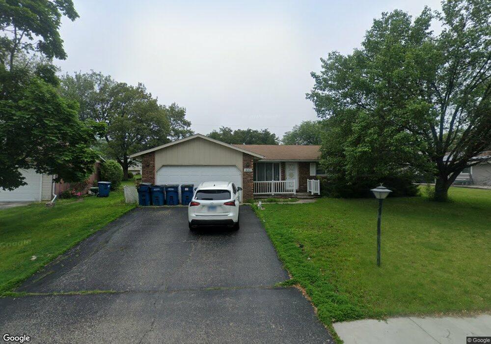
433 Concord Place Bourbonnais, IL 60914
Estimated Value: $204,432 - $245,000
Studio
--
Bath
--
Sq Ft
9,975
Sq Ft
About This Home
This home is located at 433 Concord Place, Bourbonnais, IL 60914 and is currently estimated at $226,108. 433 Concord Place is a home located in Kankakee County with nearby schools including Noel Levasseur Elementary School, Liberty Intermediate School, and Bourbonnais Upper Grade Center.
Ownership History
Date
Name
Owned For
Owner Type
Purchase Details
Closed on
Sep 16, 2013
Sold by
Sisk Kenneth G
Bought by
Jackson Samantha
Current Estimated Value
Home Financials for this Owner
Home Financials are based on the most recent Mortgage that was taken out on this home.
Original Mortgage
$112,917
Outstanding Balance
$84,595
Interest Rate
4.5%
Mortgage Type
FHA
Estimated Equity
$141,513
Create a Home Valuation Report for This Property
The Home Valuation Report is an in-depth analysis detailing your home's value as well as a comparison with similar homes in the area
Home Values in the Area
Average Home Value in this Area
Purchase History
| Date | Buyer | Sale Price | Title Company |
|---|---|---|---|
| Jackson Samantha | $115,000 | Kankakee Cnty Title & Tr |
Source: Public Records
Mortgage History
| Date | Status | Borrower | Loan Amount |
|---|---|---|---|
| Open | Jackson Samantha | $112,917 |
Source: Public Records
Tax History
| Year | Tax Paid | Tax Assessment Tax Assessment Total Assessment is a certain percentage of the fair market value that is determined by local assessors to be the total taxable value of land and additions on the property. | Land | Improvement |
|---|---|---|---|---|
| 2024 | $4,598 | $61,524 | $6,562 | $54,962 |
| 2023 | $3,993 | $54,544 | $6,076 | $48,468 |
| 2022 | $3,914 | $51,656 | $5,856 | $45,800 |
| 2021 | $3,691 | $48,796 | $5,727 | $43,069 |
| 2020 | $3,649 | $47,490 | $5,574 | $41,916 |
| 2019 | $3,460 | $44,922 | $5,412 | $39,510 |
| 2018 | $3,625 | $46,656 | $5,332 | $41,324 |
| 2017 | $3,547 | $45,518 | $5,202 | $40,316 |
| 2016 | $3,479 | $44,845 | $5,125 | $39,720 |
| 2015 | $3,556 | $45,204 | $5,074 | $40,130 |
| 2014 | $3,415 | $45,204 | $5,074 | $40,130 |
| 2013 | -- | $43,893 | $5,074 | $38,819 |
Source: Public Records
Map
Nearby Homes
- 817 Stonewall Dr
- 703 Heritage Dr
- 15 Hanson Dr
- 1230 Eagle Bluff Dr
- Lot 5/5A Almar Pkwy
- 1356 Eagle Bluff Dr
- 9 Hilltop Dr
- 22 Emery Dr
- 206 Meadows Rd S
- 3314 Toulouse
- 261 Mohawk Dr
- 375 Meadows Rd N
- 269 Harvard Ave
- 1063 Yale Ave
- 172 Anita Dr
- 417 E Beaudoin St
- 1582 Mid Court Dr
- 250 N Levasseur Ave
- 292 Ashley Ave
- 899 Armour Rd
- 455 Concord Place
- 951 Heritage Dr
- 460 Concord Place
- 436 W Bethel Dr
- 971 Heritage Dr
- 477 Concord Place
- 420 Concord Place
- 458 W Bethel Dr
- 480 W Bethel Dr
- 970 Heritage Dr Unit 972
- 511 Concord Place
- Lot 63 W Bethel Dr
- 930 Heritage Dr Unit 932
- 885 Heritage Dr
- 514 W Bethel Dr
- 880 Bunker Hill Dr
- 523 Concord Place
- 897 Bunker Hill Dr
- 871 Heritage Dr
Your Personal Tour Guide
Ask me questions while you tour the home.