433 Coyote Ridge Pisgah Forest, NC 28768
Estimated Value: $555,000 - $569,000
2
Beds
2
Baths
1,744
Sq Ft
$323/Sq Ft
Est. Value
About This Home
This home is located at 433 Coyote Ridge, Pisgah Forest, NC 28768 and is currently estimated at $562,759, approximately $322 per square foot. 433 Coyote Ridge is a home located in Transylvania County.
Ownership History
Date
Name
Owned For
Owner Type
Purchase Details
Closed on
Apr 30, 2024
Sold by
Lyda Edward D and Lyda Wanda W
Bought by
Lyda Edward D and Lyda Wanda W
Current Estimated Value
Purchase Details
Closed on
Sep 27, 2018
Sold by
Heard Stephen F and Heard Karen C
Bought by
Lyda Edward D and Lyda Wanda W
Purchase Details
Closed on
Sep 5, 2007
Sold by
Lyda Edward D and Lyda Wanda W
Bought by
Queen Steven Brody and Sheppard Lyndsay Debra
Purchase Details
Closed on
Jun 1, 2004
Bought by
Lyda Edward and Lyda Wanda
Create a Home Valuation Report for This Property
The Home Valuation Report is an in-depth analysis detailing your home's value as well as a comparison with similar homes in the area
Home Values in the Area
Average Home Value in this Area
Purchase History
| Date | Buyer | Sale Price | Title Company |
|---|---|---|---|
| Lyda Edward D | -- | None Listed On Document | |
| Lyda Edward D | -- | None Listed On Document | |
| Lyda Edward D | -- | None Listed On Document | |
| Lyda Edward D | -- | None Available | |
| Queen Steven Brody | -- | Chicago Title Insurance Comp | |
| Lyda Edward | -- | -- |
Source: Public Records
Tax History Compared to Growth
Tax History
| Year | Tax Paid | Tax Assessment Tax Assessment Total Assessment is a certain percentage of the fair market value that is determined by local assessors to be the total taxable value of land and additions on the property. | Land | Improvement |
|---|---|---|---|---|
| 2025 | $1,522 | $532,780 | $87,970 | $444,810 |
| 2024 | $1,267 | $297,160 | $71,290 | $225,870 |
| 2023 | $1,195 | $297,160 | $71,290 | $225,870 |
| 2022 | $1,195 | $297,160 | $71,290 | $225,870 |
| 2021 | $1,186 | $297,160 | $71,290 | $225,870 |
| 2020 | $1,059 | $238,320 | $0 | $0 |
| 2019 | $1,051 | $238,320 | $0 | $0 |
| 2018 | $942 | $229,580 | $0 | $0 |
| 2017 | $924 | $229,580 | $0 | $0 |
| 2016 | $924 | $229,580 | $0 | $0 |
| 2015 | $623 | $234,150 | $50,040 | $184,110 |
| 2014 | $623 | $234,150 | $50,040 | $184,110 |
Source: Public Records
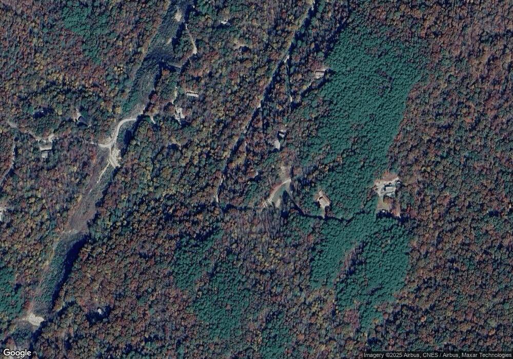
Map
Nearby Homes
- 37 C Creek Ln
- 1388 King Rd
- 605 Blythe Rd
- 895 Turkey Pen Gap Rd Unit 2
- 946 Turkey Pen Gap Rd
- 234 Lobdell Rd
- TBD Top Oaks Ln Unit Lot 58
- 1000 Sutton Creek Rd
- 14 Irvin Rd
- TDB Fern Cove Ln Unit 44
- 428 Lakeland Dr
- 39 Acorn Ln
- 442 Blantyre Church Rd
- 5717 Turnpike Rd
- 273 Davids Trace
- TBD Off Vineyard Loop
- 9999 Lobdell Rd Unit 22
- 194 Acorn Ln
- 75 Twin Oaks Ln
- 0 Turtle Ridge Trail
- 369 Coyote Ridge
- 305 Coyote Ridge
- 1963 Fox Hollow Rd
- 2073 Fox Hollow Rd
- 2000 Fox Hollow Rd
- 140 Coyote Ridge
- 1881 Fox Hollow Rd
- 1000 Fox Hollow Rd
- 76 Coyote Ridge
- 2603 Fox Hollow Rd
- 17 Fox Hollow Rd Unit 17B
- 2335 Fox Hollow Rd Unit 10
- 2197 Fox Hollow Rd
- 1518 Fox Hollow Rd
- 000 Tract 1 Fox Hollow Rd
- 1526 Fox Hollow Rd
- 2236 Fox Hollow Rd
- 2224 Fox Hollow Rd
- 1415 Fox Hollow Rd