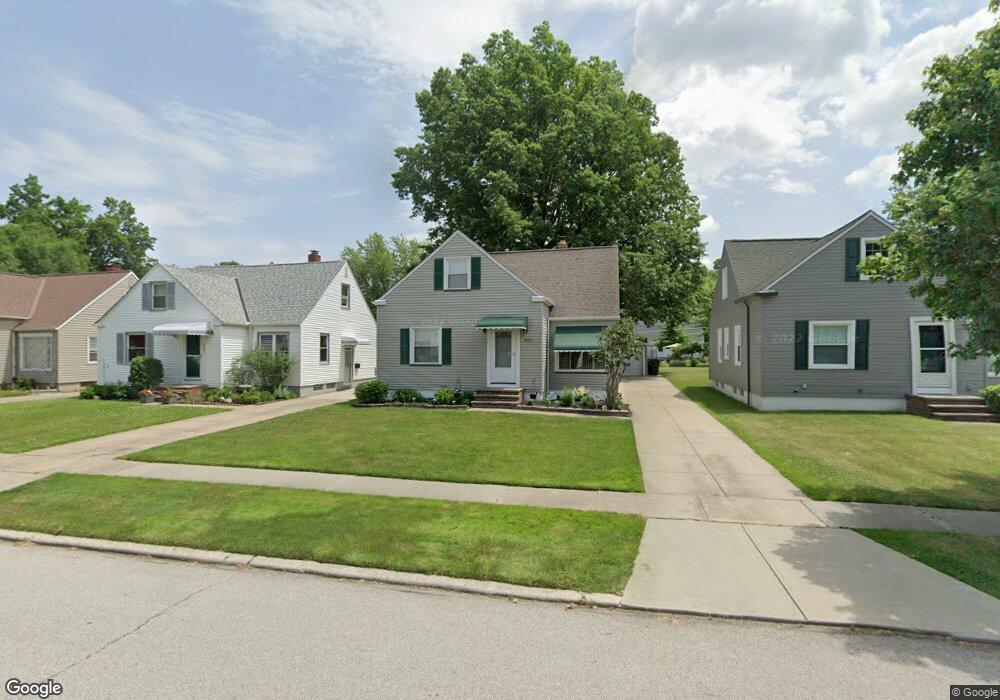
433 E 274th St Euclid, OH 44132
Estimated Value: $139,651 - $155,000
2
Beds
1
Bath
1,282
Sq Ft
$113/Sq Ft
Est. Value
About This Home
This home is located at 433 E 274th St, Euclid, OH 44132 and is currently estimated at $145,163, approximately $113 per square foot. 433 E 274th St is a home located in Cuyahoga County with nearby schools including Shoreview Elementary School, Euclid High School, and Mater Dei Academy.
Ownership History
Date
Name
Owned For
Owner Type
Purchase Details
Closed on
Jun 30, 2023
Sold by
Kascak Robert A and Kascak Maureen A
Bought by
Kascak Robert A and Kascak Maureen A
Current Estimated Value
Purchase Details
Closed on
Jun 21, 1991
Bought by
Kascak Robert A
Purchase Details
Closed on
Apr 12, 1991
Sold by
Hammond Fern M
Bought by
Kenneth Lurie Inc.
Purchase Details
Closed on
Sep 18, 1989
Sold by
Hammond Andrew J and Hammond Fern M
Bought by
Hammond Fern M
Purchase Details
Closed on
Jan 1, 1975
Bought by
Hammond Andrew J and Hammond Fern M
Create a Home Valuation Report for This Property
The Home Valuation Report is an in-depth analysis detailing your home's value as well as a comparison with similar homes in the area
Home Values in the Area
Average Home Value in this Area
Purchase History
| Date | Buyer | Sale Price | Title Company |
|---|---|---|---|
| Kascak Robert A | -- | None Listed On Document | |
| Kascak Robert A | $78,000 | -- | |
| Kenneth Lurie Inc. | $50,000 | -- | |
| Hammond Fern M | -- | -- | |
| Hammond Andrew J | -- | -- |
Source: Public Records
Tax History
| Year | Tax Paid | Tax Assessment Tax Assessment Total Assessment is a certain percentage of the fair market value that is determined by local assessors to be the total taxable value of land and additions on the property. | Land | Improvement |
|---|---|---|---|---|
| 2025 | $3,034 | $46,585 | $8,925 | $37,660 |
| 2024 | $3,136 | $46,585 | $8,925 | $37,660 |
| 2023 | $2,959 | $34,240 | $6,760 | $27,480 |
| 2022 | $2,891 | $34,230 | $6,760 | $27,480 |
| 2021 | $3,221 | $34,230 | $6,760 | $27,480 |
| 2020 | $3,054 | $29,510 | $5,810 | $23,700 |
| 2019 | $2,746 | $84,300 | $16,600 | $67,700 |
| 2018 | $2,764 | $29,510 | $5,810 | $23,700 |
| 2017 | $2,988 | $26,600 | $4,830 | $21,770 |
| 2016 | $2,995 | $26,600 | $4,830 | $21,770 |
| 2015 | $2,726 | $26,600 | $4,830 | $21,770 |
| 2014 | $2,726 | $26,600 | $4,830 | $21,770 |
Source: Public Records
Map
Nearby Homes
- 427 E 275th St
- 406 E 274th St
- 625 Lloyd Rd
- 440 E 271st St
- 411 E 270th St
- 218 Wells Ct
- 298 E 270th St
- 257 E 270th St
- 591 Hemlock Dr
- 597 Hemlock Dr
- 325 E 264th St
- 295 E 276th St
- 26931 Shoreview Ave
- 26831 Shoreview Ave
- 27190 Zeman Ave
- 953 Bryn Mawr Ave
- 29616 Grand Blvd
- 866 Elmwood Ave
- 29136 Norman Ave
- 670 Hemlock Dr
Your Personal Tour Guide
Ask me questions while you tour the home.