433 Ferguson Rd Whitesboro, TX 76273
Estimated Value: $522,440 - $826,000
2
Beds
2
Baths
895
Sq Ft
$753/Sq Ft
Est. Value
About This Home
This home is located at 433 Ferguson Rd, Whitesboro, TX 76273 and is currently estimated at $674,220, approximately $753 per square foot. 433 Ferguson Rd is a home located in Grayson County with nearby schools including J.W. Hayes Primary School, Whitesboro Intermediate School, and Whitesboro Middle School.
Ownership History
Date
Name
Owned For
Owner Type
Purchase Details
Closed on
Aug 25, 2016
Sold by
Mundim Murilo S
Bought by
Thiel Sabrina
Current Estimated Value
Purchase Details
Closed on
Aug 12, 2014
Sold by
Burnell Collene
Bought by
Mundim Murilo S
Home Financials for this Owner
Home Financials are based on the most recent Mortgage that was taken out on this home.
Original Mortgage
$65,000
Interest Rate
3.83%
Mortgage Type
Purchase Money Mortgage
Create a Home Valuation Report for This Property
The Home Valuation Report is an in-depth analysis detailing your home's value as well as a comparison with similar homes in the area
Home Values in the Area
Average Home Value in this Area
Purchase History
| Date | Buyer | Sale Price | Title Company |
|---|---|---|---|
| Thiel Sabrina | -- | Sendera Title | |
| Mundim Murilo S | -- | None Available |
Source: Public Records
Mortgage History
| Date | Status | Borrower | Loan Amount |
|---|---|---|---|
| Previous Owner | Mundim Murilo S | $65,000 |
Source: Public Records
Tax History Compared to Growth
Tax History
| Year | Tax Paid | Tax Assessment Tax Assessment Total Assessment is a certain percentage of the fair market value that is determined by local assessors to be the total taxable value of land and additions on the property. | Land | Improvement |
|---|---|---|---|---|
| 2025 | $4,062 | $379,601 | -- | -- |
| 2024 | $5,460 | $345,092 | $0 | $0 |
| 2023 | $3,180 | $313,720 | $0 | $0 |
| 2022 | $4,534 | $285,200 | $0 | $0 |
| 2021 | $4,660 | $263,945 | $102,510 | $161,435 |
| 2020 | $4,364 | $235,703 | $79,290 | $156,413 |
| 2019 | $1,967 | $99,156 | $61,212 | $37,944 |
| 2018 | $2,027 | $100,026 | $70,709 | $29,317 |
| 2017 | $2,016 | $98,105 | $70,709 | $27,396 |
| 2016 | $1,882 | $91,601 | $62,652 | $28,949 |
| 2015 | $1,352 | $86,203 | $62,652 | $23,551 |
| 2014 | $934 | $45,050 | $20,352 | $24,698 |
Source: Public Records
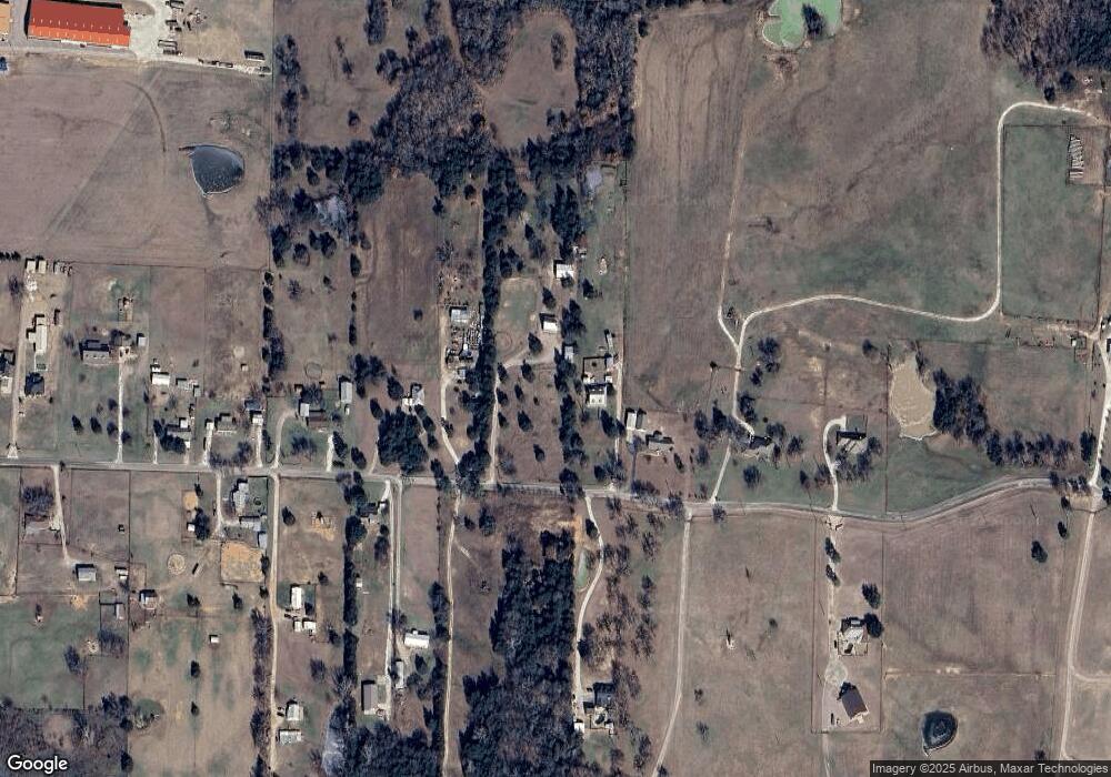
Map
Nearby Homes
- 790 Ferguson Rd
- 20ac Us Hwy 377
- 347 Copper Branch Rd
- 436 Dixie Rd
- 1230 Dixie Estates Way
- 1172 Dixie Estates Way
- 262 Briar Creek Rd
- LOT 14 Dixie Estates Way
- LOT 20 Dixie Estates Way
- LOT 15 Dixie Estates Way
- LOT 17 Dixie Estates Way
- LOT 18 Dixie Estates Way
- LOT 19 Dixie Estates Way
- 1371 Dixie Estates Way
- 1276 Dixie Rd
- 1484 Dixie Estates Way
- 2208 Sundance Rd
- 2026 Sundance Rd
- 2151 Sundance Rd
- 2256 Sundance Rd
- 459 Ferguson Rd
- 341 Ferguson Rd
- 497 Ferguson Rd
- 507 Ferguson Rd
- 311 Ferguson Rd
- 346 Ferguson Rd
- 567 Ferguson Rd
- 269 Ferguson Rd
- 272 Ferguson Rd
- 251 Ferguson Rd
- 448 Ferguson Rd
- 350 Ferguson Rd
- 304 Ferguson Rd
- 498 Ferguson Rd
- 217 Ferguson Rd
- 566 Ferguson Rd
- 296 Ferguson Rd
- 171 Ferguson Rd
- 522 Kennedi Dr
- 188 Ferguson Rd