433 Groce Meadow Rd Taylors, SC 29687
Estimated Value: $82,144 - $498,000
--
Bed
--
Bath
--
Sq Ft
0.49
Acres
About This Home
This home is located at 433 Groce Meadow Rd, Taylors, SC 29687 and is currently estimated at $265,286. 433 Groce Meadow Rd is a home located in Greenville County with nearby schools including Mountain View Elementary School, Blue Ridge Middle School, and Blue Ridge High School.
Ownership History
Date
Name
Owned For
Owner Type
Purchase Details
Closed on
Feb 16, 2018
Sold by
Hunter Jennifer B
Bought by
Hunter Brian E
Current Estimated Value
Home Financials for this Owner
Home Financials are based on the most recent Mortgage that was taken out on this home.
Original Mortgage
$139,500
Outstanding Balance
$99,790
Interest Rate
4.22%
Mortgage Type
New Conventional
Estimated Equity
$165,496
Purchase Details
Closed on
Jul 29, 2008
Sold by
Taylor Eddie Travis
Bought by
Hunter Brian E and Hunter Jennifer B
Create a Home Valuation Report for This Property
The Home Valuation Report is an in-depth analysis detailing your home's value as well as a comparison with similar homes in the area
Home Values in the Area
Average Home Value in this Area
Purchase History
| Date | Buyer | Sale Price | Title Company |
|---|---|---|---|
| Hunter Brian E | -- | None Available | |
| Hunter Brian E | $35,957 | -- |
Source: Public Records
Mortgage History
| Date | Status | Borrower | Loan Amount |
|---|---|---|---|
| Open | Hunter Brian E | $139,500 |
Source: Public Records
Tax History Compared to Growth
Tax History
| Year | Tax Paid | Tax Assessment Tax Assessment Total Assessment is a certain percentage of the fair market value that is determined by local assessors to be the total taxable value of land and additions on the property. | Land | Improvement |
|---|---|---|---|---|
| 2024 | $109 | $270 | $270 | $0 |
| 2023 | $109 | $270 | $270 | $0 |
| 2022 | $104 | $270 | $270 | $0 |
| 2021 | $102 | $270 | $270 | $0 |
| 2020 | $112 | $240 | $240 | $0 |
| 2019 | $111 | $240 | $240 | $0 |
| 2018 | $110 | $240 | $240 | $0 |
| 2017 | $108 | $240 | $240 | $0 |
| 2016 | $91 | $3,920 | $3,920 | $0 |
| 2015 | $91 | $3,920 | $3,920 | $0 |
| 2014 | -- | $3,920 | $3,920 | $0 |
Source: Public Records
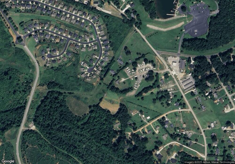
Map
Nearby Homes
- 113 Berrigan Place
- 103 Hollander Dr
- 7 Swenson Ct
- 41 Hurshfield Ct
- 26 Double Crest Dr
- 30 Double Crest Dr
- 43 Hurshfield Ct
- 18 Double Crest Dr
- 100 Double Crest Dr
- 5 Bufflehead St
- 2 Double Crest Dr
- 2 Nina Meadows Dr Unit BRV 82 Crestwind B
- 106 Paneer Ln
- 207 Bean Springs Ct Unit BRV 67 Crestwind C
- 211 Bean Springs Ct Unit BRV 68 Sweetbay C
- Roosevelt Elite Plan at Lakeside at Blue Ridge Plantation
- Ridge Elite Plan at Lakeside at Blue Ridge Plantation
- Hartford Elite Plan at Lakeside at Blue Ridge Plantation
- Emilia Elite Plan at Lakeside at Blue Ridge Plantation
- Converse Elite Plan at Lakeside at Blue Ridge Plantation
- 433 Groce Meadow Rd
- (Lot 60) 1 Berrigan
- 111 Berrigan Place
- 115 Berrigan Place
- 117 Berrigan Place
- 109 Berrigan Place
- 437 Groce Meadow Rd
- 107 Berrigan Place
- 119 Berrigan Place
- (Lot 54) 1 Berrigan
- 105 Berrigan Place
- 108 Berrigan Place
- 112 Berrigan Place
- 118 Berrigan Place
- 114 Berrigan Place
- 431 Groce Meadow Rd
- 12 Meadow Ln
- 116 Berrigan Place
- 103 Berrigan Place
- 108 Hollander Dr