Estimated Value: $340,000 - $426,000
2
Beds
2
Baths
1,596
Sq Ft
$234/Sq Ft
Est. Value
About This Home
This home is located at 433 Kent Cornwall Rd Unit 29, Kent, CT 06757 and is currently estimated at $374,261, approximately $234 per square foot. 433 Kent Cornwall Rd Unit 29 is a home located in Litchfield County with nearby schools including Kent Center School and Housatonic Valley Regional High School.
Ownership History
Date
Name
Owned For
Owner Type
Purchase Details
Closed on
Feb 7, 2008
Sold by
Doornick Robert
Bought by
Robbins Pamela B
Current Estimated Value
Home Financials for this Owner
Home Financials are based on the most recent Mortgage that was taken out on this home.
Original Mortgage
$117,978
Outstanding Balance
$74,960
Interest Rate
6.2%
Estimated Equity
$299,301
Purchase Details
Closed on
May 2, 1997
Sold by
Wellman Eric N and Wellman Diana
Bought by
Doornick Robert
Home Financials for this Owner
Home Financials are based on the most recent Mortgage that was taken out on this home.
Original Mortgage
$117,000
Interest Rate
7.88%
Mortgage Type
Unknown
Create a Home Valuation Report for This Property
The Home Valuation Report is an in-depth analysis detailing your home's value as well as a comparison with similar homes in the area
Home Values in the Area
Average Home Value in this Area
Purchase History
| Date | Buyer | Sale Price | Title Company |
|---|---|---|---|
| Robbins Pamela B | $318,000 | -- | |
| Doornick Robert | $130,000 | -- |
Source: Public Records
Mortgage History
| Date | Status | Borrower | Loan Amount |
|---|---|---|---|
| Open | Doornick Robert | $117,978 | |
| Previous Owner | Doornick Robert | $170,000 | |
| Previous Owner | Doornick Robert | $117,000 |
Source: Public Records
Tax History Compared to Growth
Tax History
| Year | Tax Paid | Tax Assessment Tax Assessment Total Assessment is a certain percentage of the fair market value that is determined by local assessors to be the total taxable value of land and additions on the property. | Land | Improvement |
|---|---|---|---|---|
| 2025 | $2,989 | $177,200 | $0 | $177,200 |
| 2024 | $2,763 | $177,200 | $0 | $177,200 |
| 2023 | $2,531 | $134,900 | $0 | $134,900 |
| 2022 | $2,505 | $134,900 | $0 | $134,900 |
| 2021 | $2,505 | $134,900 | $0 | $134,900 |
| 2020 | $2,510 | $134,900 | $0 | $134,900 |
| 2019 | $2,510 | $134,900 | $0 | $134,900 |
| 2018 | $2,376 | $127,700 | $0 | $127,700 |
| 2017 | $2,376 | $127,700 | $0 | $127,700 |
| 2016 | $2,341 | $127,700 | $0 | $127,700 |
| 2015 | $2,281 | $127,700 | $0 | $127,700 |
| 2014 | $2,175 | $127,700 | $0 | $127,700 |
Source: Public Records
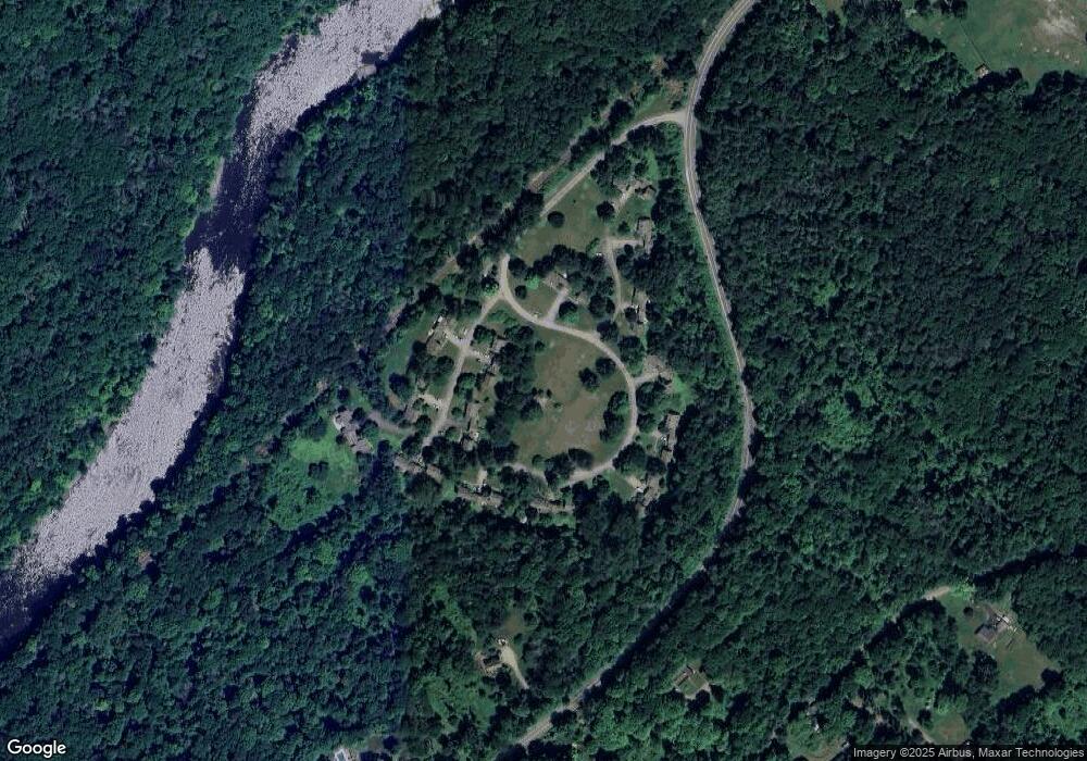
Map
Nearby Homes
- 11 Old Paddock Ln
- 0 Stonewall Unit 39
- 23 Mauwee Brook Rd
- 5 Weantinogue Ln
- 0 Mount Mauwee Rd
- 0 Gorham Rd Unit 24138133
- 1 W Woods Rd
- 50 Brick School Rd
- 308 Skiff Mountain Rd
- 70 Kent Rd S
- 143 Whitcomb Hill Rd
- 221 Fuller Mountain Rd
- 8 Bobcat Ln
- 441 Segar Mountain Rd
- 00 Upper Kent Hollow Rd
- 11 Day Rd
- 0 Richards Rd Unit 24140078
- 10 Guinea Rd
- 11 Laurel Mountain Road Extension
- 13 Cobble Heights Rd
- 433 Kent Cornwall Rd Unit 26
- 433 Kent Cornwall Rd Unit 1
- 433 Kent Cornwall Rd Unit 5
- 433 Kent Cornwall Rd Unit 10
- 433 Kent Cornwall Rd Unit 18
- 433 Kent Cornwall Rd Unit 2
- 433 Kent Cornwall Rd Unit 8
- 433 Kent Cornwall Rd Unit 6
- 433 Kent Cornwall Rd Unit 24
- 433 Kent Cornwall Rd Unit 22
- 433 Kent Cornwall Rd Unit 9
- 433 Kent Cornwall Rd Unit 15
- 433 Kent Cornwall Rd Unit 11
- 433 Kent Cornwall Rd Unit 7
- 433 Kent Cornwall Rd Unit 16
- 433 Kent Cornwall Rd Unit 3
- 433 Kent Cornwall Rd Unit 23
- 433 Kent Cornwall Rd Unit 4
- 433 Kent Cornwall Rd Unit 31
- 433 Kent Cornwall Rd Unit 30