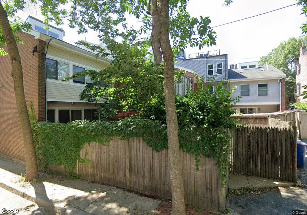
433 Main St Charlestown, MA 02129
Medford Street-The Neck NeighborhoodEstimated Value: $1,130,000 - $1,470,000
2
Beds
3
Baths
1,338
Sq Ft
$976/Sq Ft
Est. Value
About This Home
This home is located at 433 Main St, Charlestown, MA 02129 and is currently estimated at $1,305,761, approximately $975 per square foot. 433 Main St is a home located in Suffolk County with nearby schools including Prospect Hill Academy Upper Elementary Campus and Bright Future Educare Center.
Ownership History
Date
Name
Owned For
Owner Type
Purchase Details
Closed on
Oct 23, 2007
Sold by
Anderson Gaille
Bought by
Gaille Anderson Lt
Current Estimated Value
Create a Home Valuation Report for This Property
The Home Valuation Report is an in-depth analysis detailing your home's value as well as a comparison with similar homes in the area
Home Values in the Area
Average Home Value in this Area
Purchase History
| Date | Buyer | Sale Price | Title Company |
|---|---|---|---|
| Gaille Anderson Lt | -- | -- |
Source: Public Records
Tax History Compared to Growth
Tax History
| Year | Tax Paid | Tax Assessment Tax Assessment Total Assessment is a certain percentage of the fair market value that is determined by local assessors to be the total taxable value of land and additions on the property. | Land | Improvement |
|---|---|---|---|---|
| 2025 | $12,541 | $1,083,000 | $345,200 | $737,800 |
| 2024 | $10,890 | $999,100 | $257,600 | $741,500 |
| 2023 | $10,220 | $951,600 | $245,400 | $706,200 |
| 2022 | $9,412 | $865,100 | $223,100 | $642,000 |
| 2021 | $9,049 | $848,100 | $218,700 | $629,400 |
| 2020 | $8,214 | $777,800 | $205,800 | $572,000 |
| 2019 | $8,034 | $762,200 | $164,600 | $597,600 |
| 2018 | $7,315 | $698,000 | $164,600 | $533,400 |
| 2017 | $6,842 | $646,100 | $164,600 | $481,500 |
| 2016 | $6,642 | $603,800 | $164,600 | $439,200 |
| 2015 | $6,680 | $551,600 | $182,600 | $369,000 |
| 2014 | $6,391 | $508,000 | $182,600 | $325,400 |
Source: Public Records
Map
Nearby Homes
- 9 Armory St
- 364 Bunker Hill St Unit 1
- 9 Short St
- 100 Baldwin St Unit 1
- 40 Chappie St Unit 1
- 29 Eden St Unit 3
- 24 N Mead St
- 64 Walker St Unit 66
- 56 Belmont St Unit 1
- 270 Bunker Hill St Unit 4
- 15 Russell St
- 255 Bunker Hill St Unit 2
- 9 Russell St Unit 2
- 9 Russell St Unit 1
- 24 Brighton St
- 207 Bunker Hill St Unit 2
- 19 Parker St Unit 3
- 254-256 Medford St Unit 2
- 56 High St Unit 3
- 39 Mount Pleasant St
- 429 Main St
- 35 Baldwin St
- 37 Baldwin St
- 425 Main St
- 39 Baldwin St
- 39 Baldwin St Unit 1
- 41 Baldwin St
- 421 Main St Unit 2
- 421 Main St Unit 1
- 43 Baldwin St Unit 43
- 435 1/2 Main St
- 435 Main St 3rd Flr Unit Unit R2
- 435 Main St 2nd Flr Unit Unit 2nd floor
- 435 Main St 3rd Flr Unit Unit 3rd floor
- 4 Albion Place
- 4 Albion Place
- 4 Albion Place Unit 2
- 4 Albion Place Unit 1
- 419 Main St
- 8 Albion Place