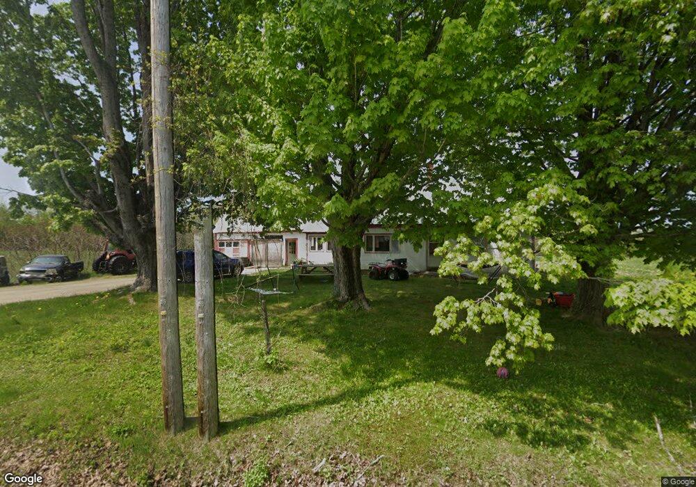
433 Main St Mercer, ME 04957
Estimated Value: $271,000
--
Bed
--
Bath
--
Sq Ft
62
Acres
About This Home
This home is located at 433 Main St, Mercer, ME 04957 and is currently estimated at $271,000. 433 Main St is a home.
Create a Home Valuation Report for This Property
The Home Valuation Report is an in-depth analysis detailing your home's value as well as a comparison with similar homes in the area
Home Values in the Area
Average Home Value in this Area
Tax History Compared to Growth
Tax History
| Year | Tax Paid | Tax Assessment Tax Assessment Total Assessment is a certain percentage of the fair market value that is determined by local assessors to be the total taxable value of land and additions on the property. | Land | Improvement |
|---|---|---|---|---|
| 2024 | $2,120 | $201,900 | $122,000 | $79,900 |
| 2023 | $1,920 | $103,206 | $56,520 | $46,686 |
| 2022 | $1,816 | $103,206 | $56,520 | $46,686 |
| 2021 | $1,816 | $103,206 | $56,520 | $46,686 |
| 2020 | $1,790 | $101,706 | $55,020 | $46,686 |
| 2019 | $1,760 | $101,706 | $55,020 | $46,686 |
| 2018 | $1,668 | $101,706 | $55,020 | $46,686 |
| 2017 | $1,626 | $101,706 | $55,020 | $46,686 |
| 2016 | $1,622 | $101,706 | $55,020 | $46,686 |
| 2015 | $1,609 | $101,706 | $55,020 | $46,686 |
| 2014 | $1,550 | $101,706 | $55,020 | $46,686 |
Source: Public Records
Map
Nearby Homes
- Lot 59&60 Starks Rd
- 510 Branns Mill Rd
- 331 Beans Corner Rd
- 35 Industry Rd
- 0 Poor Farm Rd Unit 1637355
- Lot 30 U S Highway 2
- M18L13 Mercer Rd
- M1 L19 Homestead Hill Rd
- 137 Butterfield Rd
- 681 Mile Hill Rd
- 55 Cape Cod Hill Rd
- 33 Kimball Pond
- 2679 Industry Rd
- 10 Trista Ln
- 17 Anson Rd
- Lot 9 & 12 Smith Rd
- 735 Sandy River Rd
- M-3 L-33-5 Cape Cod Hill Rd
- M-3 L-33-4 Cape Cod Hill Rd
- Lot 1 Oak Hill Rd