Estimated Value: $179,000 - $221,157
4
Beds
2
Baths
2,006
Sq Ft
$99/Sq Ft
Est. Value
About This Home
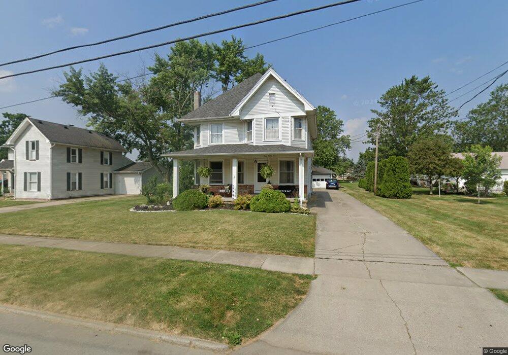
This home is located at 433 Monroe St, Delta, OH 43515 and is currently estimated at $197,789, approximately $98 per square foot. 433 Monroe St is a home located in Fulton County with nearby schools including Delta Elementary School, Pike-Delta-York Middle School, and Pike-Delta-York High School.
Ownership History
Date
Name
Owned For
Owner Type
Purchase Details
Closed on
May 15, 2020
Sold by
Williams Joel L
Bought by
Williams Erin
Current Estimated Value
Purchase Details
Closed on
Jun 6, 2011
Sold by
Fannie Mae
Bought by
Williams Joel and Williams Erin
Home Financials for this Owner
Home Financials are based on the most recent Mortgage that was taken out on this home.
Original Mortgage
$74,611
Interest Rate
4.52%
Mortgage Type
New Conventional
Purchase Details
Closed on
Mar 29, 2011
Sold by
Allen Scott W
Bought by
Federal National Mortgage Association
Purchase Details
Closed on
Sep 7, 2001
Sold by
Moss Perry L
Bought by
Allen Scott and Allen Marsha
Home Financials for this Owner
Home Financials are based on the most recent Mortgage that was taken out on this home.
Original Mortgage
$123,500
Interest Rate
7.03%
Mortgage Type
New Conventional
Purchase Details
Closed on
Jan 1, 1990
Bought by
Moss Perry L and Moss Tammy L
Create a Home Valuation Report for This Property
The Home Valuation Report is an in-depth analysis detailing your home's value as well as a comparison with similar homes in the area
Home Values in the Area
Average Home Value in this Area
Purchase History
| Date | Buyer | Sale Price | Title Company |
|---|---|---|---|
| Williams Erin | -- | None Available | |
| Williams Joel | $72,000 | Attorney | |
| Federal National Mortgage Association | $80,000 | Attorney | |
| Allen Scott | $130,000 | -- | |
| Moss Perry L | -- | -- |
Source: Public Records
Mortgage History
| Date | Status | Borrower | Loan Amount |
|---|---|---|---|
| Previous Owner | Williams Joel | $74,611 | |
| Previous Owner | Allen Scott | $123,500 |
Source: Public Records
Tax History Compared to Growth
Tax History
| Year | Tax Paid | Tax Assessment Tax Assessment Total Assessment is a certain percentage of the fair market value that is determined by local assessors to be the total taxable value of land and additions on the property. | Land | Improvement |
|---|---|---|---|---|
| 2024 | $2,206 | $52,020 | $8,580 | $43,440 |
| 2023 | $2,211 | $52,020 | $8,580 | $43,440 |
| 2022 | $2,274 | $40,810 | $7,140 | $33,670 |
| 2021 | $2,352 | $40,810 | $7,140 | $33,670 |
| 2020 | $2,339 | $40,810 | $7,140 | $33,670 |
| 2019 | $2,118 | $37,770 | $7,140 | $30,630 |
| 2018 | $2,028 | $37,770 | $7,140 | $30,630 |
| 2017 | $2,018 | $37,770 | $7,140 | $30,630 |
| 2016 | $1,967 | $33,710 | $7,140 | $26,570 |
| 2015 | $1,882 | $33,710 | $7,140 | $26,570 |
| 2014 | $1,879 | $33,710 | $7,140 | $26,570 |
| 2013 | $2,247 | $40,750 | $5,920 | $34,830 |
Source: Public Records
Map
Nearby Homes
- 434 Monroe St
- 452 Monroe St
- 500 Sandalwood Ln
- 308 Monroe St
- 413 Fernwood St
- 600 Fernwood St
- 305 Mckinley St
- 703 Linwood Ave
- 701 Palmwood St
- 421 Providence St
- 518 Providence St
- 929 Linwood Ave
- 11 Meadow Lane Dr
- 9163 County Road F
- 5390 County Road D
- 6854 County Road 3
- 7620 County Road 12
- 7373 County Road 12
- 3121 County Road Ef
- 3893 County Road L