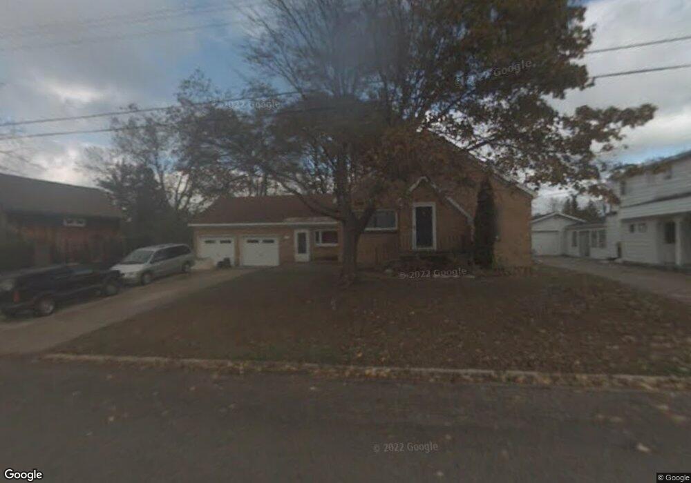
433 Myrtle St Petoskey, MI 49770
Estimated Value: $346,043 - $875,000
Studio
--
Bath
--
Sq Ft
0.31
Acres
About This Home
This home is located at 433 Myrtle St, Petoskey, MI 49770 and is currently estimated at $497,261. 433 Myrtle St is a home located in Emmet County with nearby schools including Petoskey High School, St. Francis Xavier School, and Petoskey Sda Elementary School.
Ownership History
Date
Name
Owned For
Owner Type
Purchase Details
Closed on
Oct 8, 2015
Sold by
Phenix Daniel J and Phenix Stoll Dawn Jo
Bought by
Dallos John P and Dallos Jannifer A
Current Estimated Value
Purchase Details
Closed on
Jul 14, 2005
Sold by
Dallos John and Dallos Jennifer
Bought by
Phenix Daniel J and Phenix Dawn J
Purchase Details
Closed on
Dec 6, 2002
Bought by
Dallos John P and Dallos Jennifer A
Purchase Details
Closed on
May 17, 2002
Sold by
Miller Jason E and Miller Heather A
Bought by
Ct Shuman Inc & Dcw Enterprises Inc
Purchase Details
Closed on
May 1, 1997
Bought by
Miller Pta
Create a Home Valuation Report for This Property
The Home Valuation Report is an in-depth analysis detailing your home's value as well as a comparison with similar homes in the area
Home Values in the Area
Average Home Value in this Area
Purchase History
| Date | Buyer | Sale Price | Title Company |
|---|---|---|---|
| Dallos John P | -- | None Available | |
| Phenix Daniel J | $190,000 | -- | |
| Dallos John P | $160,000 | -- | |
| Ct Shuman Inc & Dcw Enterprises Inc | $160,000 | -- | |
| Miller Pta | $125,000 | -- |
Source: Public Records
Tax History
| Year | Tax Paid | Tax Assessment Tax Assessment Total Assessment is a certain percentage of the fair market value that is determined by local assessors to be the total taxable value of land and additions on the property. | Land | Improvement |
|---|---|---|---|---|
| 2025 | $3,256 | $196,500 | $196,500 | $0 |
| 2024 | $31 | $171,500 | $171,500 | $0 |
| 2023 | $2,986 | $142,900 | $142,900 | $0 |
| 2022 | $2,986 | $135,800 | $135,800 | $0 |
| 2021 | $2,859 | $115,200 | $115,200 | $0 |
| 2020 | $2,890 | $88,600 | $88,600 | $0 |
| 2019 | -- | $86,700 | $86,700 | $0 |
| 2018 | -- | $89,500 | $89,500 | $0 |
| 2017 | -- | $83,900 | $83,900 | $0 |
| 2016 | -- | $74,800 | $74,800 | $0 |
| 2015 | -- | $71,700 | $0 | $0 |
| 2014 | -- | $64,700 | $0 | $0 |
Source: Public Records
Map
Nearby Homes
- 431 Carleton St
- 1012 Jefferson Ave
- 1023 Emmet St
- 138 E Sheridan St
- 1118 Valley View Ave
- 444 Grove St
- 524 State St
- 617 Harvey St
- 606 State St
- 46 Bridge St
- 624 Michigan St Unit 524 State 138 E Sher
- 624 Michigan St
- 619 Kalamazoo Ave
- 410 E Mitchell St Unit 2F
- 410 E Mitchell St Unit C
- 332 W Sheridan St
- 1234 Hazelton Ave
- 200 Lakewood Ct
- 513 Liberty St
- 1051 Hoffman St
Your Personal Tour Guide
Ask me questions while you tour the home.