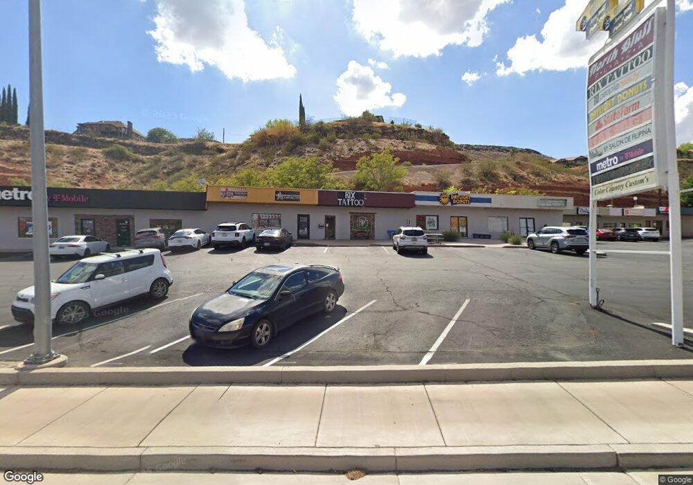
433 N Bluff St St. George, UT 84770
Estimated Value: $235,100
--
Bed
--
Bath
1,400
Sq Ft
$168/Sq Ft
Est. Value
About This Home
This home is located at 433 N Bluff St, St. George, UT 84770 and is currently estimated at $235,100, approximately $167 per square foot. 433 N Bluff St is a home located in Washington County with nearby schools including Heritage School, Dixie Middle School, and Dixie Intermediate School.
Ownership History
Date
Name
Owned For
Owner Type
Purchase Details
Closed on
Aug 14, 2018
Sold by
Fenn Byron Lee and Fenn Trudy
Bought by
Jensen Jerald K and The J Jensen Family Trust
Current Estimated Value
Purchase Details
Closed on
Dec 19, 2016
Sold by
Alegira Luis Alfrdo and Alegira Grecia Carolina
Bought by
Utah Depatemnt Of Transprotgtation
Purchase Details
Closed on
Nov 30, 2016
Sold by
North Bluff Plaza Association
Bought by
Utah Department Of Transportation
Purchase Details
Closed on
Dec 18, 2012
Sold by
Fenn Byron Lee and Fenn Trudy
Bought by
Southern Utah Title Co and Ence North Bluff Lc
Create a Home Valuation Report for This Property
The Home Valuation Report is an in-depth analysis detailing your home's value as well as a comparison with similar homes in the area
Home Values in the Area
Average Home Value in this Area
Purchase History
| Date | Buyer | Sale Price | Title Company |
|---|---|---|---|
| Jensen Jerald K | -- | Southern Utah | |
| Utah Depatemnt Of Transprotgtation | -- | None Available | |
| Utah Department Of Transportation | -- | None Available | |
| Southern Utah Title Co | -- | Southern Utah Title | |
| Fenn Byron Lee | -- | Southern Utah Title |
Source: Public Records
Tax History Compared to Growth
Tax History
| Year | Tax Paid | Tax Assessment Tax Assessment Total Assessment is a certain percentage of the fair market value that is determined by local assessors to be the total taxable value of land and additions on the property. | Land | Improvement |
|---|---|---|---|---|
| 2025 | $1,326 | $202,500 | $139,100 | $63,400 |
| 2023 | $1,448 | $216,300 | $114,900 | $101,400 |
| 2022 | $1,304 | $183,200 | $102,500 | $80,700 |
| 2021 | $1,300 | $149,800 | $89,100 | $60,700 |
| 2020 | $1,214 | $131,800 | $86,500 | $45,300 |
| 2019 | $1,109 | $117,600 | $86,500 | $31,100 |
| 2018 | $1,011 | $97,700 | $0 | $0 |
| 2017 | $1,011 | $97,700 | $0 | $0 |
| 2016 | $1,096 | $98,000 | $0 | $0 |
| 2015 | $980 | $84,000 | $0 | $0 |
| 2014 | $973 | $84,000 | $0 | $0 |
Source: Public Records
Map
Nearby Homes
- 468 Ridgeview Dr
- 311 N Donlee Dr
- 301 N Donlee Dr
- 453 Northridge Ave
- 550 W 600 N Unit 9
- 454 W 400 N
- 485 Diagonal St Unit 11
- 485 W Diagonal Unit 11
- 567 Ridgeview Dr
- 485 N 400 W
- 568 N 950 W
- 588 N 950 W
- 592 N 1050 W
- 438 N Stone Mountain Dr Unit 5
- 438 N Stone Mountain Dr Unit 47
- 438 N Stone Mountain Dr Unit 59
- 438 N Stone Mountain Dr Unit 17
- 571 W 15 Cir N
- 250 S Donlee Dr Unit J
- 250 S Donlee Dr
- 435 Business Only Daylight Donuts
- 435 Business Only Daylight Donuts Unit 435
- 435 N Bluff St
- 439 N Bluff St
- 429 N Bluff St
- 443 N Bluff St
- 449 N Bluff
- 445 N Bluff St
- 445 N Bluff St
- 449,445,44 N Bluff
- 447 N Bluff St
- 449 N Bluff St
- 491 N Bluff St
- 693 W 390 North Cir
- 693 W 390 Cir N
- 687 W 390 North Cir
- 400 N Bluff St
- 702 W 390 Cir N
- 702 W 390 North Cir
- 412 N Bluff St