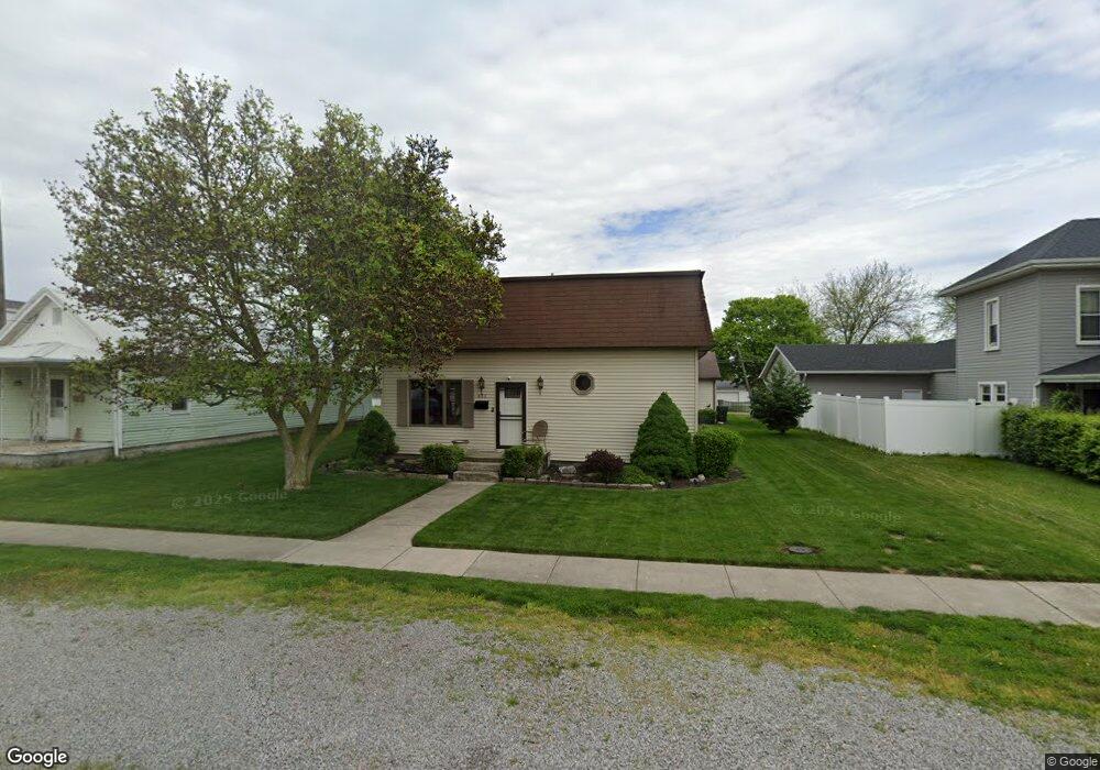
433 N Main St Spencerville, OH 45887
Estimated Value: $124,205 - $224,000
3
Beds
2
Baths
2,511
Sq Ft
$73/Sq Ft
Est. Value
About This Home
This home is located at 433 N Main St, Spencerville, OH 45887 and is currently estimated at $184,301, approximately $73 per square foot. 433 N Main St is a home located in Allen County with nearby schools including Spencerville Elementary School, Spencerville Middle School, and Spencerville High School.
Ownership History
Date
Name
Owned For
Owner Type
Purchase Details
Closed on
Aug 30, 2006
Sold by
Bowsher Rebecca Marie and Bowsher Rebecca M
Bought by
Bowsher Mark Anthony and Bowsher Mark A
Current Estimated Value
Purchase Details
Closed on
Mar 31, 1995
Sold by
Holtzapple James
Bought by
Bowsher Mark and Bowsher Rebecca
Home Financials for this Owner
Home Financials are based on the most recent Mortgage that was taken out on this home.
Original Mortgage
$55,300
Interest Rate
8.91%
Mortgage Type
New Conventional
Purchase Details
Closed on
Oct 10, 1990
Bought by
Holtzapple James E
Create a Home Valuation Report for This Property
The Home Valuation Report is an in-depth analysis detailing your home's value as well as a comparison with similar homes in the area
Home Values in the Area
Average Home Value in this Area
Purchase History
| Date | Buyer | Sale Price | Title Company |
|---|---|---|---|
| Bowsher Mark Anthony | -- | None Available | |
| Bowsher Mark | $69,200 | -- | |
| Holtzapple James E | $46,000 | -- |
Source: Public Records
Mortgage History
| Date | Status | Borrower | Loan Amount |
|---|---|---|---|
| Closed | Bowsher Mark | $55,300 |
Source: Public Records
Tax History Compared to Growth
Tax History
| Year | Tax Paid | Tax Assessment Tax Assessment Total Assessment is a certain percentage of the fair market value that is determined by local assessors to be the total taxable value of land and additions on the property. | Land | Improvement |
|---|---|---|---|---|
| 2024 | $1,083 | $32,700 | $6,270 | $26,430 |
| 2023 | $951 | $26,820 | $5,150 | $21,670 |
| 2022 | $964 | $26,820 | $5,150 | $21,670 |
| 2021 | $944 | $26,820 | $5,150 | $21,670 |
| 2020 | $893 | $24,400 | $4,870 | $19,530 |
| 2019 | $893 | $24,400 | $4,870 | $19,530 |
| 2018 | $828 | $24,400 | $4,870 | $19,530 |
| 2017 | $752 | $20,660 | $4,870 | $15,790 |
| 2016 | $740 | $20,660 | $4,870 | $15,790 |
| 2015 | $772 | $20,660 | $4,870 | $15,790 |
| 2014 | $772 | $21,530 | $5,080 | $16,450 |
| 2013 | $783 | $21,530 | $5,080 | $16,450 |
Source: Public Records
Map
Nearby Homes
- 408 N Mulberry St
- 425 N Main St
- 213 N Pearl St
- 336 W 4th St
- 409 W 4th St
- 316 E 4th St
- 714 Briggs Ave Unit 1
- 440 W 4th St
- 406 S Mulberry St
- 123 Oakland Ave
- 521 S Broadway St
- 00 Kleinoeder Rd
- 14101 Allentown Rd
- 21197 Ohio 116
- 21183 Ohio 116
- 21302 Masters Rd
- 22284 Ohio 198
- 7470 Fort Amanda Rd
- 1069 S Kemp Rd
- 18341 Saint Marys River Rd