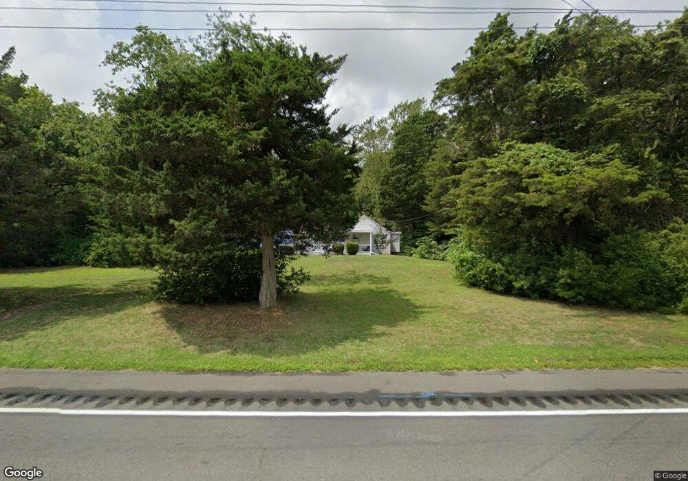
433 N Route 9 Cape May Court House, NJ 08210
Estimated Value: $330,000 - $343,000
--
Bed
--
Bath
1,334
Sq Ft
$251/Sq Ft
Est. Value
About This Home
This home is located at 433 N Route 9, Cape May Court House, NJ 08210 and is currently estimated at $334,318, approximately $250 per square foot. 433 N Route 9 is a home located in Cape May County with nearby schools including Middle Township Elementary No. 1, Middle Township Elementary No. 2, and Middle Township Middle School.
Ownership History
Date
Name
Owned For
Owner Type
Purchase Details
Closed on
Jan 18, 2007
Sold by
Jespersen Crisman P
Bought by
Oberholtzer Curtis J
Current Estimated Value
Home Financials for this Owner
Home Financials are based on the most recent Mortgage that was taken out on this home.
Original Mortgage
$157,600
Interest Rate
6.18%
Mortgage Type
Purchase Money Mortgage
Purchase Details
Closed on
Nov 29, 2006
Sold by
Marsh Leslie L
Bought by
Jespersen Crisman P
Home Financials for this Owner
Home Financials are based on the most recent Mortgage that was taken out on this home.
Original Mortgage
$157,600
Interest Rate
6.18%
Mortgage Type
Purchase Money Mortgage
Purchase Details
Closed on
Jun 4, 2004
Sold by
Marsh David A
Bought by
Marsh Leslie L
Create a Home Valuation Report for This Property
The Home Valuation Report is an in-depth analysis detailing your home's value as well as a comparison with similar homes in the area
Home Values in the Area
Average Home Value in this Area
Purchase History
| Date | Buyer | Sale Price | Title Company |
|---|---|---|---|
| Oberholtzer Curtis J | $197,000 | None Available | |
| Jespersen Crisman P | $194,100 | None Available | |
| Marsh Leslie L | -- | -- |
Source: Public Records
Mortgage History
| Date | Status | Borrower | Loan Amount |
|---|---|---|---|
| Previous Owner | Oberholtzer Curtis J | $157,600 | |
| Previous Owner | Jespersen Crisman P | $181,962 |
Source: Public Records
Tax History Compared to Growth
Tax History
| Year | Tax Paid | Tax Assessment Tax Assessment Total Assessment is a certain percentage of the fair market value that is determined by local assessors to be the total taxable value of land and additions on the property. | Land | Improvement |
|---|---|---|---|---|
| 2025 | $4,047 | $191,900 | $134,800 | $57,100 |
| 2024 | $4,047 | $191,900 | $134,800 | $57,100 |
| 2023 | $3,945 | $191,900 | $134,800 | $57,100 |
| 2022 | $3,832 | $191,900 | $134,800 | $57,100 |
| 2021 | $3,740 | $191,900 | $134,800 | $57,100 |
| 2020 | $3,663 | $191,900 | $134,800 | $57,100 |
| 2019 | $3,569 | $191,900 | $134,800 | $57,100 |
| 2018 | $3,514 | $191,900 | $134,800 | $57,100 |
| 2017 | $3,443 | $191,900 | $134,800 | $57,100 |
| 2016 | $3,356 | $191,900 | $134,800 | $57,100 |
| 2015 | $3,331 | $191,900 | $134,800 | $57,100 |
| 2014 | $3,310 | $191,900 | $134,800 | $57,100 |
Source: Public Records
Map
Nearby Homes
- 430 Route 9 N Unit 45
- 430 Route 9 N
- 311 S Dennis Rd
- 530 Stone Harbor Blvd
- 26 Crest Rd
- 24 Church St
- 218 Muirhead Ln
- Ferndale Plan at Stone Harbor Lakes - Twins
- 20 E Mechanic St
- 13 Poplar St
- 203 Southgate Rd Unit 203
- 416 Goshen Rd
- 308 Osprey Dr Unit 1003E1
- 11 Sanderling Ct Unit 23
- 3 Whimbrel Way Unit B1
- 3 Whimbrel Way Unit 3 Whimbrel
- 9 Goshen Rd
- 6 Wayne Ave
- 23 Acorn Ln
- 217 Muirhead Ln
- 431 Route 9 N
- 431 U S 9
- 429 N Route 9
- 425 Route 9 N
- 430 Route 9 N
- 430 Route 9 N Unit 54
- 430 Route 9 N Unit 27
- 430 Route 9 N Unit 64
- 430 Route 9 N Unit TRLR 30
- 430 Route 9 N Unit Lot 1
- 430 Route 9 N
- 430 Route 9 N
- 430 N Rt 9 #30
- 480 Route 9 N
- 2 Parkside Dr
- 1 Parkside Dr
- 106 Court House South Dennis Rd Unit 2
- 106 Court House South Dennis Rd Unit 1
- 4 Cedar Ln
- 5 Cedar Ln