Estimated Value: $262,000 - $784,994
Studio
2
Baths
1,320
Sq Ft
$368/Sq Ft
Est. Value
About This Home
This home is located at 433 Nesbit Rd, Odum, GA 31555 and is currently estimated at $485,998, approximately $368 per square foot. 433 Nesbit Rd is a home located in Wayne County with nearby schools including Odum Elementary School, Martha Puckett Middle School, and Wayne County High School.
Ownership History
Date
Name
Owned For
Owner Type
Purchase Details
Closed on
Mar 10, 2025
Sold by
Scarborough Dewitt C
Bought by
Scarborough Michael
Current Estimated Value
Purchase Details
Closed on
May 17, 2023
Sold by
Scarborough Dewitt C
Bought by
Scarborough Dewitt C and Scarborough Emily
Create a Home Valuation Report for This Property
The Home Valuation Report is an in-depth analysis detailing your home's value as well as a comparison with similar homes in the area
Purchase History
| Date | Buyer | Sale Price | Title Company |
|---|---|---|---|
| Scarborough Michael | -- | -- | |
| Scarborough Dewitt C | -- | -- |
Source: Public Records
Tax History
| Year | Tax Paid | Tax Assessment Tax Assessment Total Assessment is a certain percentage of the fair market value that is determined by local assessors to be the total taxable value of land and additions on the property. | Land | Improvement |
|---|---|---|---|---|
| 2025 | $2,989 | $115,160 | $10,080 | $105,080 |
| 2023 | $2,258 | $99,913 | $10,080 | $89,833 |
| 2022 | $2,463 | $83,237 | $10,080 | $73,157 |
| 2021 | $2,308 | $73,442 | $10,080 | $63,362 |
| 2020 | $2,388 | $73,442 | $10,080 | $63,362 |
| 2019 | $2,459 | $73,442 | $10,080 | $63,362 |
| 2018 | $2,459 | $73,442 | $10,080 | $63,362 |
| 2017 | $3,068 | $73,442 | $10,080 | $63,362 |
| 2016 | $2,048 | $73,442 | $10,080 | $63,362 |
| 2014 | $2,054 | $73,442 | $10,080 | $63,362 |
| 2013 | -- | $73,441 | $10,080 | $63,361 |
Source: Public Records
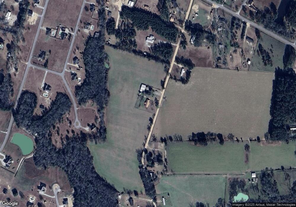
Map
Nearby Homes
- 3295 Odum Hwy
- 112 Foxwood Dr
- 357 Knotty Pine Dr
- 818 Kaitlyn Ave
- 31 Boardwalk Ave
- 67 Boardwalk Ave
- 141 Boardwalk Ave
- Tract 2 Hubert Johns Rd
- Tract 1 Hubert Johns Rd
- 210 Chickadee Cir
- 181 Partridge Place
- 82 Partridge Place
- 77 Jaybird Ct
- 344 Jekyll Island Rd
- 62 Jekyll Island Rd
- 0 Red Oak Dr Unit 160341
- 1 Palm Island Cir
- 0 Palm Island Cir
- 75 Woodlawn Dr
- Lot 1,2,3 Rayonier Rd
Your Personal Tour Guide
Ask me questions while you tour the home.