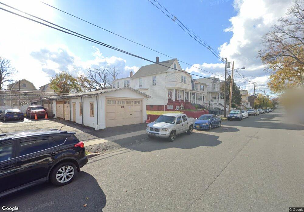
433 Neville St Perth Amboy, NJ 08861
Amboy Avenue NeighborhoodEstimated Value: $481,649 - $525,000
--
Bed
--
Bath
1,834
Sq Ft
$279/Sq Ft
Est. Value
About This Home
This home is located at 433 Neville St, Perth Amboy, NJ 08861 and is currently estimated at $512,162, approximately $279 per square foot. 433 Neville St is a home located in Middlesex County with nearby schools including Perth Amboy High School, Academy for Urban Leadership Charter School, and Assumption Catholic School.
Ownership History
Date
Name
Owned For
Owner Type
Purchase Details
Closed on
Sep 27, 2017
Sold by
Diaz Franklin
Bought by
State Of New Jersey
Current Estimated Value
Purchase Details
Closed on
Jun 30, 2006
Sold by
Polanco Ramona
Bought by
Vargas Arelis
Home Financials for this Owner
Home Financials are based on the most recent Mortgage that was taken out on this home.
Original Mortgage
$431,650
Interest Rate
6.71%
Purchase Details
Closed on
Jul 3, 1997
Sold by
Pucci Vincentine
Bought by
Polanco Mario and Bienvenido Betances
Home Financials for this Owner
Home Financials are based on the most recent Mortgage that was taken out on this home.
Original Mortgage
$138,000
Interest Rate
7.7%
Create a Home Valuation Report for This Property
The Home Valuation Report is an in-depth analysis detailing your home's value as well as a comparison with similar homes in the area
Home Values in the Area
Average Home Value in this Area
Purchase History
| Date | Buyer | Sale Price | Title Company |
|---|---|---|---|
| State Of New Jersey | $251,000 | None Available | |
| Vargas Arelis | $445,000 | -- | |
| Polanco Mario | $145,000 | -- |
Source: Public Records
Mortgage History
| Date | Status | Borrower | Loan Amount |
|---|---|---|---|
| Previous Owner | Vargas Arelis | $431,650 | |
| Previous Owner | Polanco Mario | $138,000 |
Source: Public Records
Tax History Compared to Growth
Tax History
| Year | Tax Paid | Tax Assessment Tax Assessment Total Assessment is a certain percentage of the fair market value that is determined by local assessors to be the total taxable value of land and additions on the property. | Land | Improvement |
|---|---|---|---|---|
| 2025 | $8,384 | $277,900 | $108,000 | $169,900 |
| 2024 | $8,368 | $277,900 | $108,000 | $169,900 |
| 2023 | $8,368 | $277,900 | $108,000 | $169,900 |
| 2022 | $8,268 | $277,900 | $108,000 | $169,900 |
| 2021 | $8,277 | $277,900 | $108,000 | $169,900 |
| 2020 | $8,276 | $277,900 | $108,000 | $169,900 |
| 2019 | $8,306 | $277,900 | $108,000 | $169,900 |
| 2018 | $8,234 | $277,900 | $108,000 | $169,900 |
| 2017 | $8,218 | $277,900 | $108,000 | $169,900 |
| 2016 | $8,004 | $277,900 | $108,000 | $169,900 |
| 2015 | $8,059 | $277,900 | $108,000 | $169,900 |
| 2014 | $8,109 | $277,900 | $108,000 | $169,900 |
Source: Public Records
Map
Nearby Homes
- 438 Lawrie St
- 399 Compton Ave
- 461 Lawrie St
- 569 Cornell St
- 404 Washington St
- 376 Barclay St
- 397 Washington St
- 389 Jeffries St
- 359 Neville St
- 599 Pacific Ave
- 448 Baker Place
- 649 Cornell St
- 552 Compton Ave
- 303 Holly Dr
- 306 Holly Dr Unit 306
- 646 Johnstone St
- 287 Washington St
- 689 Mary St
- 371 Mcguire Place
- 519 W Side Ave
- 437 Neville St
- 439 Neville St
- 501 Cornell St
- 497 Cornell St
- 441 Neville St
- 436 Lawrie St
- 434 Lawrie St
- 493 Cornell St
- 432 Lawrie St
- 443 Neville St
- 442 Lawrie None
- 442 Lawrie St
- 444 Lawrie St
- 449 Neville St Unit 40
- 449 Neville St
- 440 Lawrie St
- 445 Neville St
- 446 Lawrie St
- 438 Neville St
- 434 Neville St