433 NW Dover Ct Port Saint Lucie, FL 34983
Saint Lucie North NeighborhoodEstimated Value: $377,000 - $428,000
3
Beds
2
Baths
1,924
Sq Ft
$206/Sq Ft
Est. Value
About This Home
This home is located at 433 NW Dover Ct, Port Saint Lucie, FL 34983 and is currently estimated at $395,926, approximately $205 per square foot. 433 NW Dover Ct is a home located in St. Lucie County with nearby schools including Parkway Elementary School, Northport K-8 School, and Floresta Elementary School.
Ownership History
Date
Name
Owned For
Owner Type
Purchase Details
Closed on
Feb 8, 2023
Sold by
Natale Elaine M
Bought by
Revocable Trust
Current Estimated Value
Purchase Details
Closed on
Dec 23, 2014
Sold by
Natale Dominic P and Natale Elaine M
Bought by
Natale Elaine M
Purchase Details
Closed on
Feb 10, 2002
Sold by
St James Golf Club Ltd
Bought by
Natale Dominic P and Natale Elaine M
Home Financials for this Owner
Home Financials are based on the most recent Mortgage that was taken out on this home.
Original Mortgage
$166,100
Interest Rate
7.12%
Create a Home Valuation Report for This Property
The Home Valuation Report is an in-depth analysis detailing your home's value as well as a comparison with similar homes in the area
Home Values in the Area
Average Home Value in this Area
Purchase History
| Date | Buyer | Sale Price | Title Company |
|---|---|---|---|
| Revocable Trust | $100 | -- | |
| Natale Elaine M | -- | None Available | |
| Natale Dominic P | $30,700 | -- |
Source: Public Records
Mortgage History
| Date | Status | Borrower | Loan Amount |
|---|---|---|---|
| Previous Owner | Natale Dominic P | $166,100 |
Source: Public Records
Tax History Compared to Growth
Tax History
| Year | Tax Paid | Tax Assessment Tax Assessment Total Assessment is a certain percentage of the fair market value that is determined by local assessors to be the total taxable value of land and additions on the property. | Land | Improvement |
|---|---|---|---|---|
| 2024 | $3,306 | $176,645 | -- | -- |
| 2023 | $3,306 | $171,500 | $0 | $0 |
| 2022 | $3,389 | $166,505 | $0 | $0 |
| 2021 | $3,307 | $161,656 | $0 | $0 |
| 2020 | $3,325 | $159,425 | $0 | $0 |
| 2019 | $3,291 | $155,841 | $0 | $0 |
| 2018 | $3,129 | $152,936 | $0 | $0 |
| 2017 | $3,093 | $206,000 | $45,400 | $160,600 |
| 2016 | $3,049 | $196,100 | $43,200 | $152,900 |
| 2015 | $3,080 | $161,200 | $34,200 | $127,000 |
| 2014 | $2,799 | $144,536 | $0 | $0 |
Source: Public Records
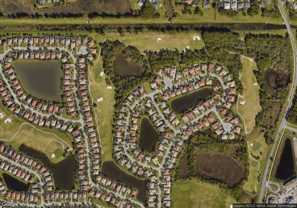
Map
Nearby Homes
- 436 NW Dover Ct
- 430 NW Dover Ct
- 422 NW Dover Ct
- 415 NW Dover Ct
- 6575 NW Pomona Ct
- 334 NW Sheffield Cir
- 305 NW Sheffield Cir
- 424 NW Sheffield Cir
- 5364 NW Rugby Dr
- 5109 NW Rugby Dr
- 5303 NW Nassau Ln
- 5423 NW Milner Dr
- 5270 NW Mayfield Ln
- 832 NW Greenwich Ct
- 6413 NW Regal Cir
- 5515 NW Dunn Rd
- 823 NW Greenwich Ct
- 6305 NW Hala Ct
- 5199 NW Rugby Dr
- 5180 NW Newark Ln
- 429 NW Dover Ct
- 510 NW Ashton Way
- 509 NW Ashton Way
- 508 NW Ashton Way
- 434 NW Dover Ct
- 432 NW Dover Ct
- 437 NW Dover Ct
- 438 NW Dover Ct
- 507 NW Ashton Way
- 428 NW Dover Ct
- 506 NW Ashton Way
- 426 NW Dover Ct
- 402 NW Lyndhurst Ct
- 441 NW Dover Ct
- 419 NW Dover Ct
- 505 NW Ashton Way
- 504 NW Ashton Way
- 424 NW Dover Ct
- 445 NW Dover Ct
- 404 NW Lyndhurst Ct