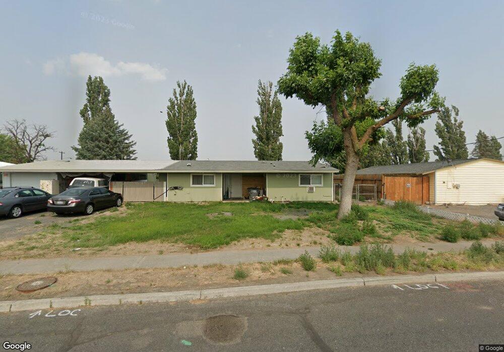
433 Offutt Dr Moses Lake, WA 98837
Estimated Value: $217,000 - $271,000
3
Beds
2
Baths
1,172
Sq Ft
$211/Sq Ft
Est. Value
About This Home
This home is located at 433 Offutt Dr, Moses Lake, WA 98837 and is currently estimated at $246,881, approximately $210 per square foot. 433 Offutt Dr is a home located in Grant County with nearby schools including Larson Heights Elementary School, Endeavor Middle School, and Moses Lake High School.
Ownership History
Date
Name
Owned For
Owner Type
Purchase Details
Closed on
May 24, 2024
Sold by
Shipman Jennifer Anne and Shipman Lyle James
Bought by
Fisk Jennifer Anne
Current Estimated Value
Purchase Details
Closed on
May 18, 2010
Sold by
Bolser Ruth M
Bought by
Shipman Lyle James and Shipman Jennifer Anne
Home Financials for this Owner
Home Financials are based on the most recent Mortgage that was taken out on this home.
Original Mortgage
$120,537
Interest Rate
5.21%
Mortgage Type
VA
Create a Home Valuation Report for This Property
The Home Valuation Report is an in-depth analysis detailing your home's value as well as a comparison with similar homes in the area
Home Values in the Area
Average Home Value in this Area
Purchase History
| Date | Buyer | Sale Price | Title Company |
|---|---|---|---|
| Fisk Jennifer Anne | -- | None Listed On Document | |
| Shipman Lyle James | $118,000 | Frontier Title |
Source: Public Records
Mortgage History
| Date | Status | Borrower | Loan Amount |
|---|---|---|---|
| Previous Owner | Shipman Lyle James | $120,537 |
Source: Public Records
Tax History Compared to Growth
Tax History
| Year | Tax Paid | Tax Assessment Tax Assessment Total Assessment is a certain percentage of the fair market value that is determined by local assessors to be the total taxable value of land and additions on the property. | Land | Improvement |
|---|---|---|---|---|
| 2024 | $1,867 | $160,280 | $25,500 | $134,780 |
| 2023 | $1,708 | $133,970 | $25,500 | $108,470 |
| 2022 | $1,660 | $133,970 | $25,500 | $108,470 |
| 2021 | $1,542 | $133,970 | $25,500 | $108,470 |
| 2020 | $1,293 | $120,655 | $25,500 | $95,155 |
| 2019 | $1,223 | $86,370 | $20,000 | $66,370 |
| 2018 | $1,373 | $83,305 | $20,000 | $63,305 |
| 2017 | $1,347 | $92,800 | $20,000 | $72,800 |
| 2016 | $1,122 | $75,570 | $20,000 | $55,570 |
| 2013 | -- | $70,520 | $20,000 | $50,520 |
Source: Public Records
Map
Nearby Homes
- 205 March Dr NE
- 410 Biggs Dr NE
- 8958 Tinker Loop Unit A & B
- 9008 Bong Loop Unit B
- 8653 Harris Rd NE
- 9021 Mcconnell Dr Unit A
- 9023 Mcconnell Dr Unit A
- 4815 Airway Dr NE Unit 86
- 4815 Airway Dr NE Unit 72
- 4815 Airway Dr NE Unit 12
- 8558 Arlene Rd NE
- 4886 Ray Rd NE
- 9035 Forrestal Ln
- 0 TBD Broad St NE
- 7613 Cox St NE
- 0 NNA Road I NE
- 2043 N Oak Rd
- 1019 Redwood Rd
- 1101 Redwood Rd
- 1105 Redwood Rd