433 Parker Dr Sandusky, OH 44870
Estimated Value: $51,000 - $56,441
Studio
--
Bath
--
Sq Ft
741
Sq Ft Lot
About This Home
This home is located at 433 Parker Dr, Sandusky, OH 44870 and is currently estimated at $53,814. 433 Parker Dr is a home located in Erie County with nearby schools including Sandusky High School, Monroe Preparatory Academy, and Sandusky Central Catholic School.
Ownership History
Date
Name
Owned For
Owner Type
Purchase Details
Closed on
Oct 17, 2024
Sold by
Graham James Roger and Graham Melissa
Bought by
Peters Clarence E and Peters Nanette M
Current Estimated Value
Purchase Details
Closed on
May 6, 2016
Sold by
Graham Ronald E
Bought by
Graham James Edward
Purchase Details
Closed on
Oct 23, 2014
Sold by
Ruthsatz Kenneth H and Ruthsatz Sylvia R
Bought by
Graham Ronald E
Purchase Details
Closed on
Oct 22, 2014
Sold by
Ruthsatz Julian and Ruthsatz Geraldine
Bought by
Ruthsatz Kenneth H and Ruthsatz Sylvia R
Purchase Details
Closed on
Jul 11, 2013
Sold by
Ruthsatz Kenneth H and Ruthsatz Sylvia R
Bought by
Ruthsatz Kenneth H and Ruthsatz Family Trust
Create a Home Valuation Report for This Property
The Home Valuation Report is an in-depth analysis detailing your home's value as well as a comparison with similar homes in the area
Home Values in the Area
Average Home Value in this Area
Purchase History
| Date | Buyer | Sale Price | Title Company |
|---|---|---|---|
| Peters Clarence E | $45,000 | Hartung Title | |
| Graham James Edward | -- | None Available | |
| Graham Ronald E | $35,000 | Fidelity Nat Title Ins Co | |
| Ruthsatz Kenneth H | -- | Fidelity Natl Title Co Llc | |
| Ruthsatz Kenneth H | -- | None Available |
Source: Public Records
Tax History
| Year | Tax Paid | Tax Assessment Tax Assessment Total Assessment is a certain percentage of the fair market value that is determined by local assessors to be the total taxable value of land and additions on the property. | Land | Improvement |
|---|---|---|---|---|
| 2024 | $419 | $10,745 | $8,939 | $1,806 |
| 2023 | $423 | $9,950 | $8,379 | $1,571 |
| 2022 | $504 | $9,950 | $8,379 | $1,571 |
| 2021 | $509 | $9,950 | $8,380 | $1,570 |
| 2020 | $554 | $9,950 | $8,380 | $1,570 |
| 2019 | $569 | $9,950 | $8,380 | $1,570 |
| 2018 | $570 | $9,950 | $8,380 | $1,570 |
| 2017 | $597 | $10,380 | $8,440 | $1,940 |
| 2016 | $596 | $10,380 | $8,440 | $1,940 |
| 2015 | $540 | $10,380 | $8,440 | $1,940 |
| 2014 | $529 | $10,230 | $8,440 | $1,790 |
| 2013 | $524 | $10,230 | $8,440 | $1,790 |
Source: Public Records
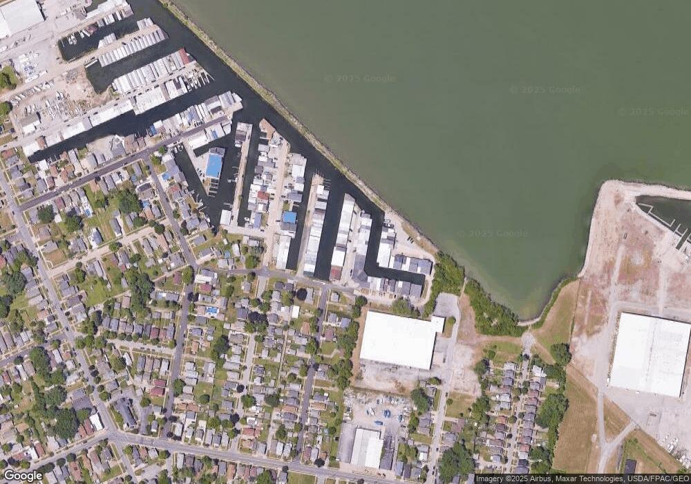
Map
Nearby Homes
- 444 Hasting Dr
- 4 Curran St
- 3 Curran St
- 1035 1st St
- 621 Reese St
- 1002 Sycamore Line
- 1003 5th St
- 1130 4th St
- 1131 5th St
- 1117 Ogontz St
- 1034 Warren St
- 403 E Adams St
- 421 Scott St
- 526 Hancock St
- 522 Hancock St
- 628 Hancock St
- 527 Hancock St
- 0 Milan Rd Unit 3997231
- 0 Milan Rd Unit 3805445
- 0 Milan Rd Unit 20182198
Your Personal Tour Guide
Ask me questions while you tour the home.