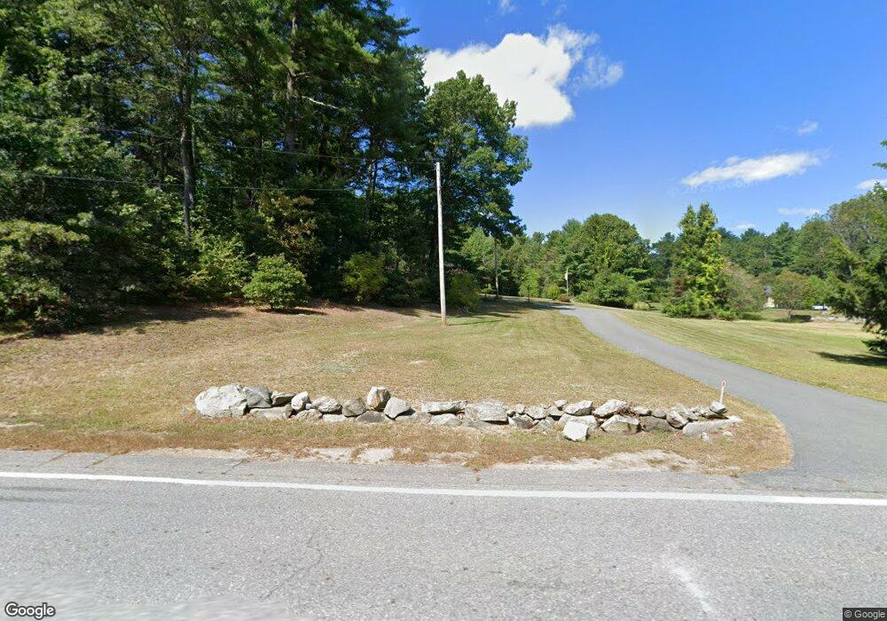
433 Pleasant St Dunstable, MA 01827
Estimated Value: $802,000 - $843,000
3
Beds
3
Baths
3,000
Sq Ft
$272/Sq Ft
Est. Value
About This Home
This home is located at 433 Pleasant St, Dunstable, MA 01827 and is currently estimated at $816,339, approximately $272 per square foot. 433 Pleasant St is a home located in Middlesex County with nearby schools including Groton Dunstable Regional High School and Maple Dene & Moppet School.
Ownership History
Date
Name
Owned For
Owner Type
Purchase Details
Closed on
Oct 22, 2013
Sold by
Lavarnway William O and Lavarnway Diane P
Bought by
Lavarnway Ft and Lavarnway Nathan W
Current Estimated Value
Purchase Details
Closed on
Jan 1, 1980
Bought by
Nathan W T and J R Lavarnway T
Create a Home Valuation Report for This Property
The Home Valuation Report is an in-depth analysis detailing your home's value as well as a comparison with similar homes in the area
Home Values in the Area
Average Home Value in this Area
Purchase History
| Date | Buyer | Sale Price | Title Company |
|---|---|---|---|
| Lavarnway Ft | -- | -- | |
| Nathan W T | -- | -- |
Source: Public Records
Mortgage History
| Date | Status | Borrower | Loan Amount |
|---|---|---|---|
| Previous Owner | Nathan W T | $35,000 |
Source: Public Records
Tax History Compared to Growth
Tax History
| Year | Tax Paid | Tax Assessment Tax Assessment Total Assessment is a certain percentage of the fair market value that is determined by local assessors to be the total taxable value of land and additions on the property. | Land | Improvement |
|---|---|---|---|---|
| 2025 | $9,713 | $706,400 | $230,000 | $476,400 |
| 2024 | $9,381 | $672,000 | $209,700 | $462,300 |
| 2023 | $8,975 | $599,500 | $209,700 | $389,800 |
| 2022 | $8,819 | $578,300 | $209,700 | $368,600 |
| 2021 | $8,543 | $508,000 | $191,400 | $316,600 |
| 2020 | $8,343 | $495,400 | $191,400 | $304,000 |
| 2019 | $8,228 | $482,300 | $191,400 | $290,900 |
| 2018 | $7,818 | $445,700 | $189,400 | $256,300 |
| 2017 | $7,477 | $439,300 | $189,400 | $249,900 |
| 2016 | $6,893 | $416,500 | $181,200 | $235,300 |
| 2015 | $6,909 | $413,000 | $153,500 | $259,500 |
| 2014 | $6,398 | $405,700 | $153,500 | $252,200 |
Source: Public Records
Map
Nearby Homes
- 319 Pleasant St
- 62 Brook St
- 153 Off Pond St
- 24 Unkety Brook Way
- 4 Thorndike St
- 660 Old Dunstable Rd
- 208 North St
- 446 Westford St
- 2 Wildflower Ln
- 14 Hadley Dr
- 0 Lowell St
- 121 Cherrywood Dr
- 3 Woodbury Dr
- 169 Nashua Rd
- 3 Testament Cir Unit 11
- 5 Doucet Ave
- 1 Doucet Ave
- 7 Wilderness Dr
- 2 Wilderness Dr
- 58 Wilderness Dr
- 443 Pleasant St
- 423 Pleasant St
- 436 Pleasant St
- 461 Pleasant St
- 473 Pleasant St
- 411 Pleasant St
- 411 Pleasant St Unit rear
- 460 Pleasant St
- 290 Depot St
- 446 Pleasant St
- 302 Depot St
- 306 Depot St
- 485 Pleasant St
- 314 Depot St
- 480 Pleasant St
- 393 Pleasant St
- 300 Depot St
- 322 Depot St
- 280 Depot St
- 500 Pleasant St
