433 Poplar Branch Rd Poplar Branch, NC 27965
Southern Currituck NeighborhoodEstimated Value: $291,000 - $652,809
4
Beds
2
Baths
2,470
Sq Ft
$201/Sq Ft
Est. Value
About This Home
This home is located at 433 Poplar Branch Rd, Poplar Branch, NC 27965 and is currently estimated at $496,452, approximately $200 per square foot. 433 Poplar Branch Rd is a home with nearby schools including W.T. Griggs Elementary School, Currituck County Middle School, and Currituck County High School.
Ownership History
Date
Name
Owned For
Owner Type
Purchase Details
Closed on
Apr 30, 2014
Sold by
Fgg New Llc
Bought by
The Dead End Llc
Current Estimated Value
Purchase Details
Closed on
Dec 5, 2011
Sold by
Cowell Phyllis Slick and Elaine Addison R
Bought by
Fgg New Llc
Purchase Details
Closed on
Nov 16, 2011
Sold by
Cowell Phyllis S
Bought by
Cowell Phyllis Slick and Elaine Addison R
Purchase Details
Closed on
Nov 5, 2009
Sold by
Ross Carl A and Ross Janet R
Bought by
The Jane P Slick Revocable Trust
Home Financials for this Owner
Home Financials are based on the most recent Mortgage that was taken out on this home.
Original Mortgage
$797,700
Interest Rate
4.93%
Mortgage Type
Seller Take Back
Create a Home Valuation Report for This Property
The Home Valuation Report is an in-depth analysis detailing your home's value as well as a comparison with similar homes in the area
Home Values in the Area
Average Home Value in this Area
Purchase History
| Date | Buyer | Sale Price | Title Company |
|---|---|---|---|
| The Dead End Llc | $1,145,000 | None Available | |
| Fgg New Llc | -- | None Available | |
| Cowell Phyllis Slick | -- | None Available | |
| The Jane P Slick Revocable Trust | $2,300,000 | None Available |
Source: Public Records
Mortgage History
| Date | Status | Borrower | Loan Amount |
|---|---|---|---|
| Previous Owner | The Jane P Slick Revocable Trust | $797,700 |
Source: Public Records
Tax History Compared to Growth
Tax History
| Year | Tax Paid | Tax Assessment Tax Assessment Total Assessment is a certain percentage of the fair market value that is determined by local assessors to be the total taxable value of land and additions on the property. | Land | Improvement |
|---|---|---|---|---|
| 2025 | $2,572 | $430,000 | $145,200 | $284,800 |
| 2024 | $2,572 | $430,000 | $145,200 | $284,800 |
| 2023 | $2,563 | $430,000 | $145,200 | $284,800 |
| 2022 | $1,951 | $430,000 | $145,200 | $284,800 |
| 2021 | $1,943 | $361,400 | $130,200 | $231,200 |
| 2020 | $1,605 | $361,400 | $130,200 | $231,200 |
| 2019 | $1,605 | $361,400 | $130,200 | $231,200 |
| 2018 | $1,605 | $361,400 | $130,200 | $231,200 |
| 2017 | $1,569 | $361,400 | $130,200 | $231,200 |
| 2016 | $1,569 | $361,400 | $130,200 | $231,200 |
| 2015 | $1,569 | $361,400 | $130,200 | $231,200 |
Source: Public Records
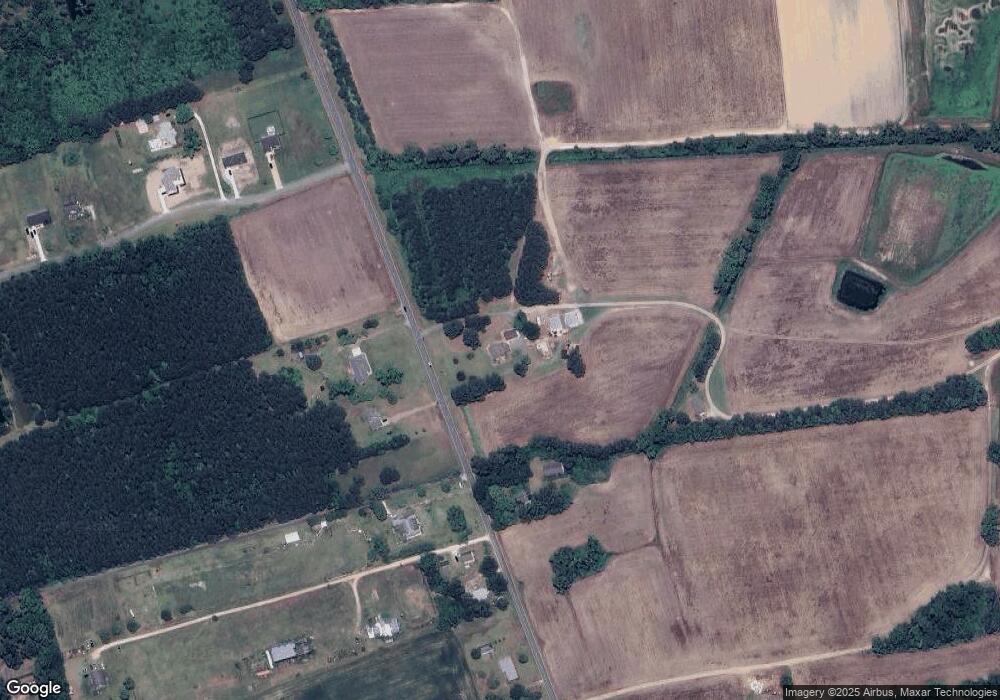
Map
Nearby Homes
- 104 Perry's Way
- 102 Perry's Way
- 105 Forest Glen Rd
- 124 Annas Way Unit Lot49
- 124 Annas Way
- 170 Caroon Rd
- 339 Macedonia Church Rd Unit Lot 5
- 105 Tuckers Lair Unit lot 3
- 105 Tuckers Lair
- 107 Betsy Ct Unit Lot 6
- 110 Betsy Ct Unit Lot 8
- 109 Betsy Ct Unit Lot 7
- 108 Betsy Ct
- 109 Betsy Ct
- 110 Betsy Ct
- 108 Betsy Ct Unit Lot 9
- 107 Betsy Ct
- 105 S Mallard Ct Unit Lot 17
- 112 Hammock View Ct Unit Lot 10
- 112 Hammock View Ct
- 436 Poplar Branch Rd
- 428 Poplar Branch Rd
- 454 Poplar Branch Rd
- 456 Poplar Branch Rd
- 460 Poplar Branch Rd
- 100 Whisper Ln
- 102 Whisper Ln
- 104 Whisper Ln
- 108 Whisper Ln
- 106 Whisper Ln
- 379 Poplar Branch Rd
- 489 Poplar Branch Rd
- 112 Whisper Ln
- 114 Whisper Ln
- 495 Poplar Branch Rd
- 370 Poplar Branch Rd
- 496 Poplar Branch Rd
- 111 Wiley Grandy Ln
- 499 Poplar Branch Rd
- 542 Poplar Branch Rd