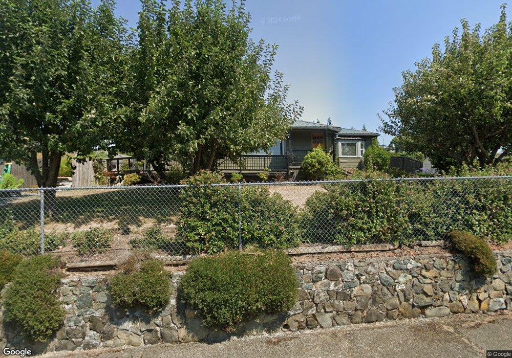
433 Railroad Ave Myrtle Point, OR 97458
Estimated Value: $297,869 - $300,000
3
Beds
2
Baths
1,314
Sq Ft
$228/Sq Ft
Est. Value
About This Home
This home is located at 433 Railroad Ave, Myrtle Point, OR 97458 and is currently estimated at $298,935, approximately $227 per square foot. 433 Railroad Ave is a home located in Coos County with nearby schools including Myrtle Crest School and Myrtle Point High School.
Ownership History
Date
Name
Owned For
Owner Type
Purchase Details
Closed on
May 23, 2020
Sold by
Maxon Karl T and Maxon Linda S
Bought by
Maxon Linda S
Current Estimated Value
Home Financials for this Owner
Home Financials are based on the most recent Mortgage that was taken out on this home.
Original Mortgage
$119,400
Outstanding Balance
$105,573
Interest Rate
3.3%
Mortgage Type
New Conventional
Estimated Equity
$193,362
Purchase Details
Closed on
Apr 11, 2016
Sold by
Menegat Lan and Menegat Suellen
Bought by
Maxon Karl T and Maxon Linda S
Home Financials for this Owner
Home Financials are based on the most recent Mortgage that was taken out on this home.
Original Mortgage
$120,000
Interest Rate
3.68%
Mortgage Type
New Conventional
Create a Home Valuation Report for This Property
The Home Valuation Report is an in-depth analysis detailing your home's value as well as a comparison with similar homes in the area
Home Values in the Area
Average Home Value in this Area
Purchase History
| Date | Buyer | Sale Price | Title Company |
|---|---|---|---|
| Maxon Linda S | -- | Ticor Title Company Of Or | |
| Maxon Karl T | $150,000 | Ticor Title Company |
Source: Public Records
Mortgage History
| Date | Status | Borrower | Loan Amount |
|---|---|---|---|
| Open | Maxon Linda S | $119,400 | |
| Closed | Maxon Karl T | $120,000 |
Source: Public Records
Tax History Compared to Growth
Tax History
| Year | Tax Paid | Tax Assessment Tax Assessment Total Assessment is a certain percentage of the fair market value that is determined by local assessors to be the total taxable value of land and additions on the property. | Land | Improvement |
|---|---|---|---|---|
| 2025 | $2,345 | $141,460 | -- | -- |
| 2024 | $2,306 | $137,340 | -- | -- |
| 2023 | $2,200 | $133,340 | $0 | $0 |
| 2022 | $2,165 | $129,460 | $0 | $0 |
| 2021 | $2,110 | $125,690 | $0 | $0 |
| 2020 | $2,051 | $125,690 | $0 | $0 |
| 2019 | $1,962 | $118,480 | $0 | $0 |
| 2018 | $1,908 | $115,030 | $0 | $0 |
| 2017 | $1,858 | $111,680 | $0 | $0 |
| 2016 | $1,805 | $108,430 | $0 | $0 |
| 2015 | $1,676 | $105,280 | $0 | $0 |
| 2014 | $1,676 | $102,220 | $0 | $0 |
Source: Public Records
Map
Nearby Homes