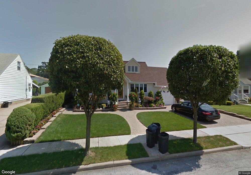
433 Robert Ave Franklin Square, NY 11010
Estimated Value: $695,121 - $751,000
Studio
2
Baths
1,239
Sq Ft
$584/Sq Ft
Est. Value
About This Home
This home is located at 433 Robert Ave, Franklin Square, NY 11010 and is currently estimated at $723,061, approximately $583 per square foot. 433 Robert Ave is a home located in Nassau County with nearby schools including Hebrew Academy of Nassau County (HANC).
Ownership History
Date
Name
Owned For
Owner Type
Purchase Details
Closed on
Jul 10, 2025
Sold by
Bitonti Christine
Bought by
Bitonti Christine and Bitonti Joe
Current Estimated Value
Purchase Details
Closed on
Nov 21, 1995
Sold by
Yu Che and Yu Robert
Bought by
Bitonti Christine
Home Financials for this Owner
Home Financials are based on the most recent Mortgage that was taken out on this home.
Original Mortgage
$63,000
Outstanding Balance
$432
Interest Rate
7.37%
Mortgage Type
Purchase Money Mortgage
Estimated Equity
$722,629
Create a Home Valuation Report for This Property
The Home Valuation Report is an in-depth analysis detailing your home's value as well as a comparison with similar homes in the area
Home Values in the Area
Average Home Value in this Area
Purchase History
| Date | Buyer | Sale Price | Title Company |
|---|---|---|---|
| Bitonti Christine | -- | None Available | |
| Bitonti Christine | $163,000 | -- |
Source: Public Records
Mortgage History
| Date | Status | Borrower | Loan Amount |
|---|---|---|---|
| Open | Bitonti Christine | $63,000 |
Source: Public Records
Tax History
| Year | Tax Paid | Tax Assessment Tax Assessment Total Assessment is a certain percentage of the fair market value that is determined by local assessors to be the total taxable value of land and additions on the property. | Land | Improvement |
|---|---|---|---|---|
| 2025 | $10,509 | $478 | $283 | $195 |
| 2024 | $4,157 | $482 | $286 | $196 |
Source: Public Records
Map
Nearby Homes
- 350 Paul Place
- 249 Grange St
- 232 Ribbon St
- 231 Dogwood Ave
- 27 Richard St
- 850 First Ave
- 708 Anderson Ave
- 303 Nassau Blvd
- 198 Guildford Ct
- 190 Commonwealth St
- 912 Oaks Dr
- 738 Sprague Ave
- 242 James St
- 911 First Ave
- 575 Hawthorne St
- 131 Grange St
- 594 Fenworth Blvd
- 660 Hewlett St
- 590 Langley Ave
- 562 Bernice Rd
- 439 Robert Ave
- 427 Robert Ave
- 438 Dogwood Ave
- 440 Dogwood Ave
- 445 Robert Ave
- 438 NE Dogwood Ave
- 655 Forte Blvd
- 424 Dogwood Ave
- 666 Eileen St
- 426 Robert Ave
- 451 Robert Ave
- 639 Forte Blvd
- 665 Eileen St
- 665 Forte Blvd
- 678 Eileen St
- 450 Robert Ave
- 457 Robert Ave
- 456 Dogwood Ave
- 679 Forte Blvd
- 679 Eileen St
Your Personal Tour Guide
Ask me questions while you tour the home.